The First to Understand Blog
Learn about the latest innovations and updates in the aerial imagery and GIS services space. Our experts help you understand how to use these services to benefit your business.
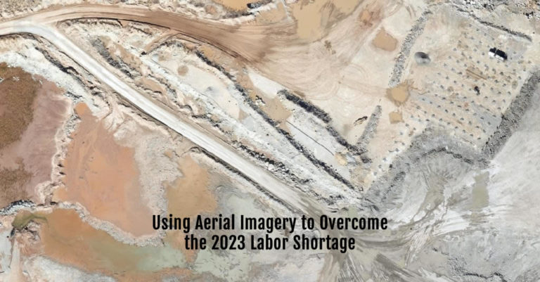
Using Aerial Imagery to Overcome Labor Shortage 2023
January 4, 2023
Labor Shortage 2023 The oil and gas industry—probably including your company—is dealing with the same labor shortage in 2023 as everyone from fast food
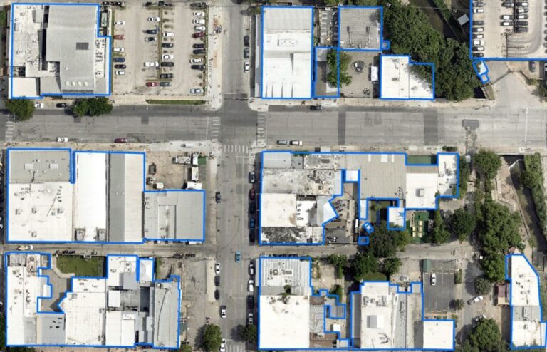
4 Planning Use Cases for Aerial Planimetric Mapping
December 6, 2022
Before starting a land-based project on any significant scale, it’s vital to know what objects are already on the landscape. Knowing the exact size,

Aerial & GIS Data Speeds Greenfield Power Grid Planning
December 4, 2022
With power grid planning for renewable energy projects increasing across America, the need for power grid connections continues at a breakneck pace. Most wind
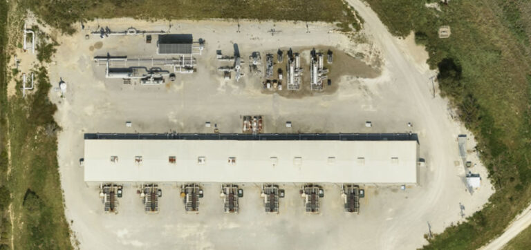
Bringing Rural Aerial Imagery to Small, Texas Towns [Case Study]
October 31, 2022
Rural Aerial Imagery At Prius Intelli, we’re passionate about making aerial imagery more accessible to more people. We are honored to partner with Brian
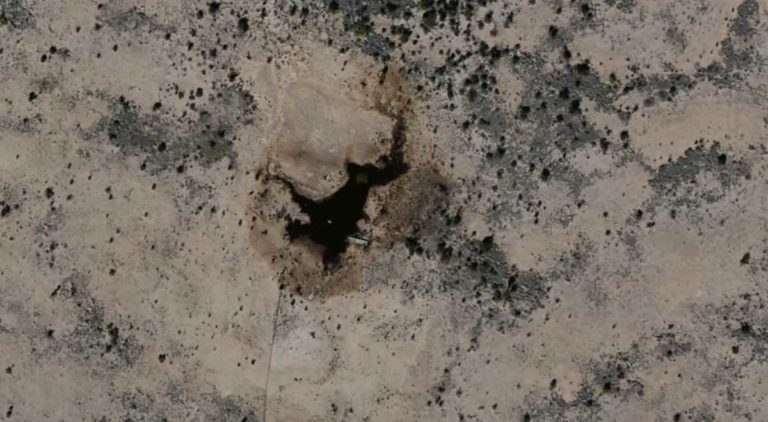
Ecological Remediation Accelerated Using GIS Services
October 4, 2022
After an ecological event, you need to remediate the area and limit the encroachment on the ecology. Learn how aerial imagery can help.
The Benefits of On-demand Aerial Imagery
October 3, 2022
How does a company effectively evaluate things without enough boots on the ground? Learn how on-demand aerial imagery changes the game.


