Home2024-10-16T10:37:31-05:00

Plan Build Optimize Monitor Comply with confidence.

Leverage imagery
that’s up to 10x sharper
than satellite.

High Resolution Aerial Imagery & Geospatial Data Intelligence

Plan Build Optimize Monitor Comply with confidence.

Leverage imagery
that’s up to 10x sharper
than satellite.

High Resolution Aerial Imagery & Geospatial Data Intelligence

Plan Build Optimize Monitor Comply with confidence.

Leverage imagery
that’s up to 10x sharper
than satellite.

High Resolution Aerial Imagery
& Geospatial Data Intelligence

High Resolution Satellite Alternative

Blurry, outdated insight can lead to costly mistakes.

Blown budgets. Botched timelines. Missed opportunities.

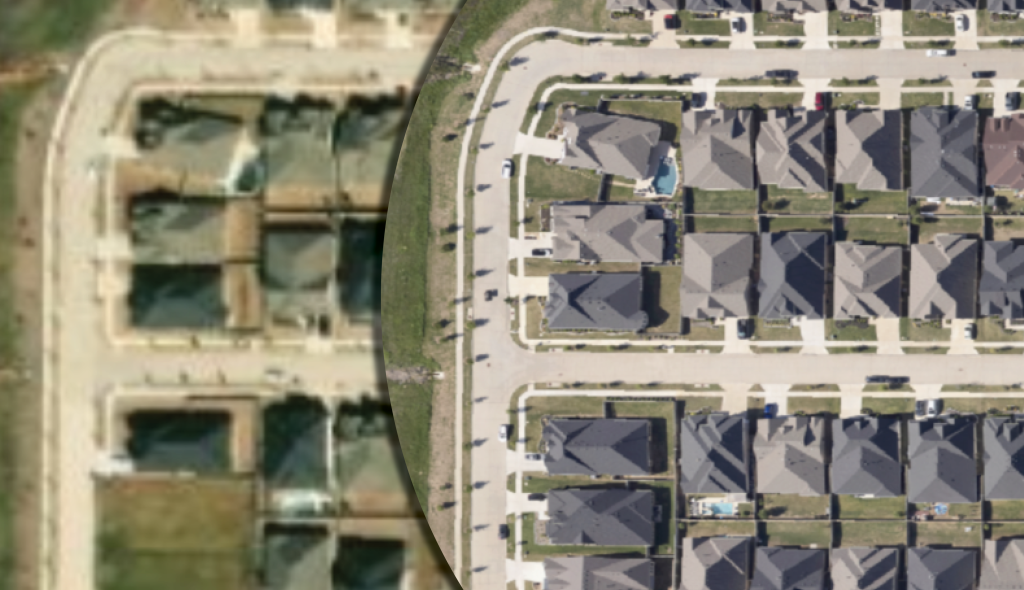
Prius Intelli imagery is up to 10 times sharper than high resolution satellite images, offering unparalleled detail for accurate analysis and decision-making.

Get the precise intelligence you need.
Exactly when you need it.

Get the precise intelligence you need. Exactly when you need it.

Precision in resolution and timeliness is crucial. That’s why Prius Intelli prioritizes accuracy and swift delivery, providing you with the exact “on the ground” intelligence you need for confident decision-making.

Flexible

Flyovers available in <1-1000 square mile increments.

Fast

Typical turnaround time is 2-6 weeks depending on weather.

Precise

Surface area imagery available at 1-6 inch resolution.

Trust What You See.®

Whether your Area of Interest encompasses 10 square miles or 10,000, our proprietary remote sensing technologies have you covered. Data is collected on-demand via fixed-wing aircraft with zero ground control points required.

Whether your Area of Interest encompasses 10 square miles or 10,000, our proprietary remote sensing technologies have you covered. Data is collected on-demand via fixed-wing aircraft with zero ground control points required.

Whether your Area of Interest encompasses 10 square miles or 10,000, our proprietary remote sensing technologies have you covered. Data is collected on-demand via fixed-wing aircraft with zero ground control points required.

SOLUTIONS

High Resolution
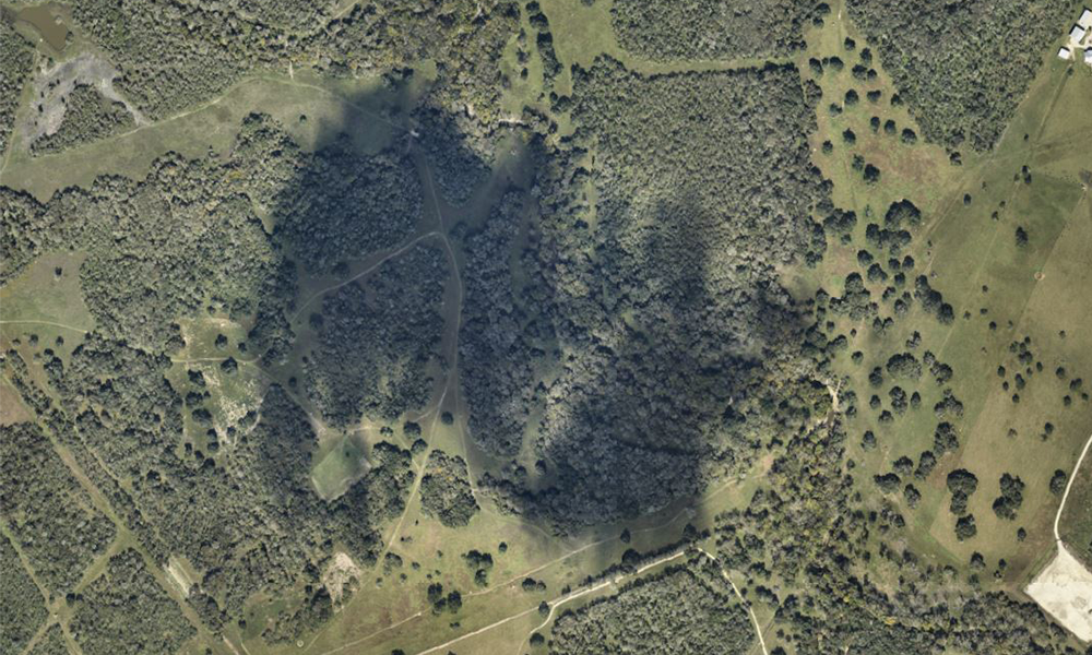
RGB Orthoimagery

High Res. RGB Orthoimagery

SOLUTIONS

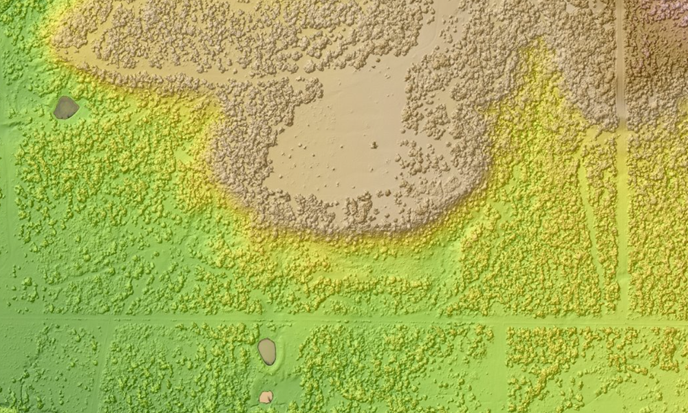
Digital Elevation
Modelling

D.E.
Modelling

SOLUTIONS

Planimetric
Mapping

SOLUTIONS

PHMSA
Compliance

ADVANCED AERIAL ANALYTICS

Transform Insights Into Action

When it comes to large-scale industrial projects, seeing is just the beginning. Our advanced aerial data analytics help you get the most out of your imagery, enabling informed decisions that optimize your operations across the board.

Line-of-Sight Studies  |  Cut/Fill Analysis  |  Change Detection  |  GIS Data Sets  |  And More

What Our Clients Are Saying

At Prius Intelli, our clients’ success is our top priority. From seamless project execution to delivering measurable results, we’re proud of the lasting partnerships we’ve built. But don’t just take our word for it — here’s what our clients have to say about their experience working with us.

At Prius Intelli, client success is our priority. We ensure seamless execution and deliver results, building lasting partnerships. Here’s what our clients say about working with us.

Danny Allen

Geospatial Intelligence Supervisor @ ConocoPhillips Permian Integrated Operations

“Aerial imagery is crucial for us, as the landscapes of our Delaware Basin assets change rapidly due to drilling, road construction, and pipeline installation. It provides an up-to-date visualization, helping us navigate geographical obstacles and ensure we stay within our right-of-ways, avoiding costly trespassing issues.”

John Evans

EXECUTIVE @ Land Point EP, Fort Worth, Texas

“We put the imagery of our Permian Basin assets to use every day across our full operations. It delivers detailed, usable answers for problem-solving and smarter planning… basically anywhere dirt gets pushed.”

Lee Davis

Director of Technical Services
@ WhiteWater Midstream

“For what good aerial imagery costs, it saves 10x or more on the backend just in project planning and landowner relations.”

Unlock Your Competitive Edge

Prius Intelli empowers businesses to navigate complex challenges, seize opportunities, and drive transformative change in today’s competitive landscape. Our cutting-edge Aerial Intelligence Solutions provide a unique vantage point, allowing you to gain crucial insights without the need for time-consuming field visits.

Prius Intelli helps businesses tackle challenges, seize opportunities, and drive change in today’s competitive market. Our Aerial Intelligence Solutions offer crucial insights, eliminating the need for lengthy field visits.

Build Your Business & Your Knowledge Base

Stay ahead in the rapidly evolving world of geospatial technology with insights, expert analysis, and the latest trends in high-resolution aerial imagery.

Stay ahead in the rapidly evolving world of geospatial technology with insights, expert analysis, and the latest trends in high-resolution aerial imagery.

Stay ahead in the rapidly evolving world of geospatial technology with insights, expert analysis, and the latest trends in high-resolution aerial imagery.

Go to Top