Aerial Mapping Services - Lower 48

Expert aerial mapping services and GIS solutions by Prius Intelli.

Aerial Mapping Services

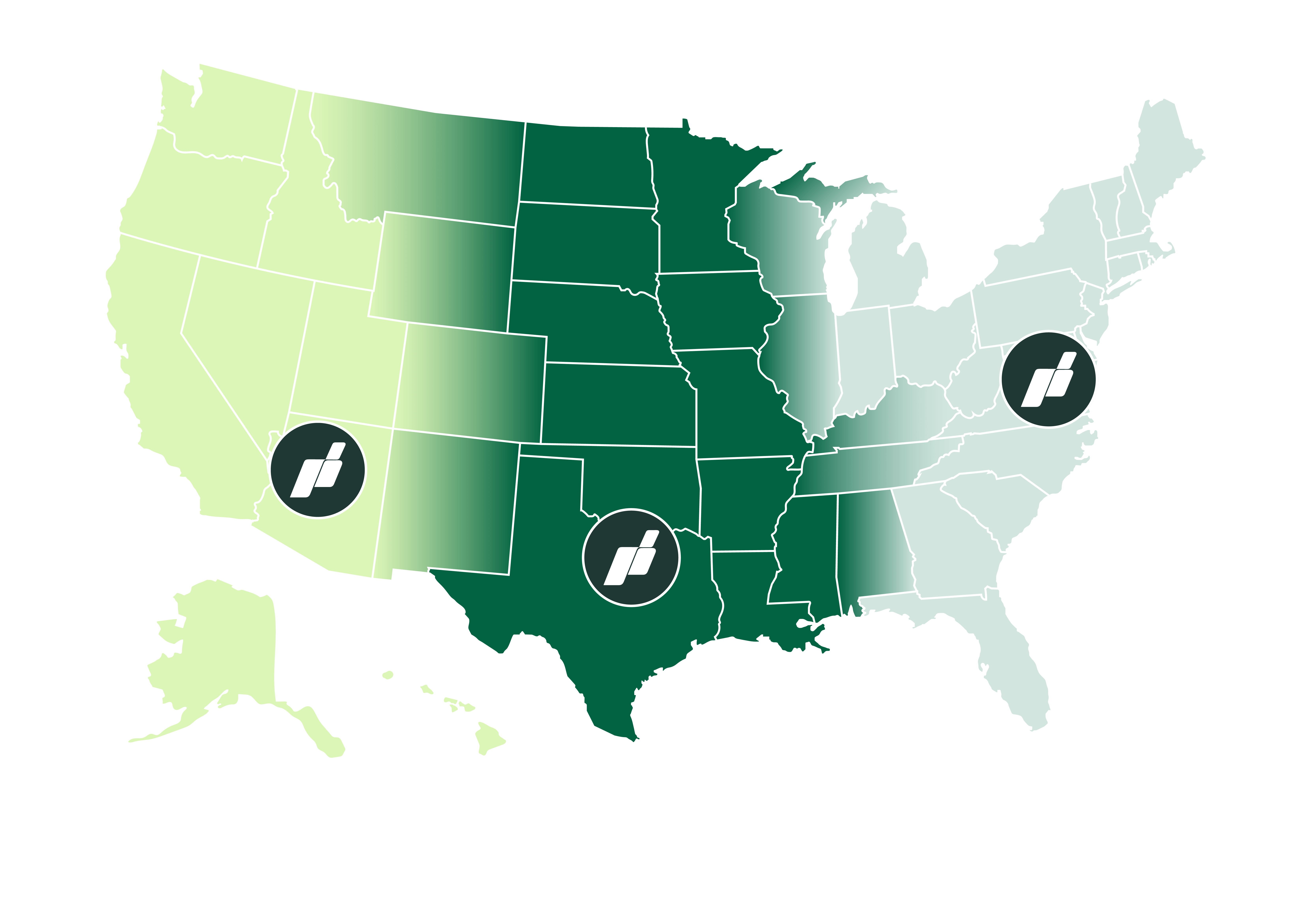
Welcome to Prius Intelli, your go-to destination for professional aerial mapping services in the Lower 48 states. Our proprietary remote sensor configurations and expertise in digital surface modeling, 3D models, topographic mapping, and orthomosaic maps make us the premier choice for clients seeking high-quality GIS mapping solutions.

Our advanced fixed-wing aircraft fleet can cover large areas quickly and efficiently, and our expert team of analysts uses the latest software tools to help you derive the most value from your data as possible. We also offer free geospatial data hosting, data streaming, and seamless integration with existing internal servers every service package, making it easy for you to access big project files on-demand and stream the information directly into your GIS software.

Aerial Mapping Services and GIS Mapping by Prius Intelli

Shed light on any project with expert aerial mapping services and GIS solutions – delivered on-demand to support projects located throughout the Lower 48.

Aerial Mapping for Industrial Applications

Our mapping services have a wide range of applications across various industries.

Oil & Gas Exploration

Plan and operate smarter, avoid budget pitfalls, and get wells into production faster with Prius Intelli’s aerial orthophotography for everyday use. Captured by fixed-wing aircraft at 10 cm (4”) resolution, Everyday Imagery by PI® is geometrically corrected to remove distortions, creating a precise base map that allows highly accurate measurements.

Oil & Gas Midstream

Simplify PHMSA compliance with Structure ID® by PI, a turnkey aerial survey solution that provides the data needed to easily identify USDOT Class Location, High Consequence Areas (HCA), and Medium Consequence Areas (MCA). The underlying imagery can be applied to a wide range of operational and planning activities – population density studies, ROW clearing activities, encroachment detection, historical documentation of ROW condition before and after construction activities, and pipeline As Built Alignment Sheets. The imagery can also be used as a background layer in GIS portals.

Utilities

Advanced aerial imaging technologies, such as LiDAR and high-resolution imagery, offer numerous benefits to utility companies including asset management and vegetation management. Utility companies can use LiDAR and high-resolution imagery to identify potential hazards, manage encroaching and/or overgrown vegetation, and monitor infrastructure.

Aerial Imagery for Construction

Our 3D models, orthoimagery, and planimetric maps are used for site planning, earthworks volume calculations, and construction progress tracking. Our mapping services are also used in land development to generate detailed site plans and conduct environmental impact assessments.

Health, Safety and Environment (HSE) Monitoring

Our aerial imagery and mapping services are used to track changes in vegetation cover, wetlands, and other sensitive ecosystems.

aerial mapping and data services usa

Prius Intelli. The clear choice for high-quality aerial mapping services in the Lower 48 states.

Contact us today to learn more about our products and services, and how we can help you with your next project.

Schedule a call

Provide a few details on our “Get a Quote” page and schedule a call with our team.

We talk about your project.

Once we understand your project goals and objectives, we will tailor a solution and get you on the flight schedule.

Get to work. Fast.

Enjoy expertly crafted, on-demand GIS data and imagery, typically delivered within 2- to 4-weeks (weather dependent).

Providing GIS Mapping & Aerial Imagery to Municipalities & Businesses Throughout Texas and Across the US