Aerial Data Services - Advanced Aerial Analytics & Data Solutions
Get the expert aerial data services and solutions you need to achieve your goals.
SHED LIGHT ON ANY PROJECT
Advanced aerial data analytics with aerial imagery
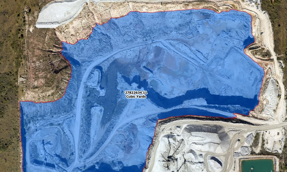
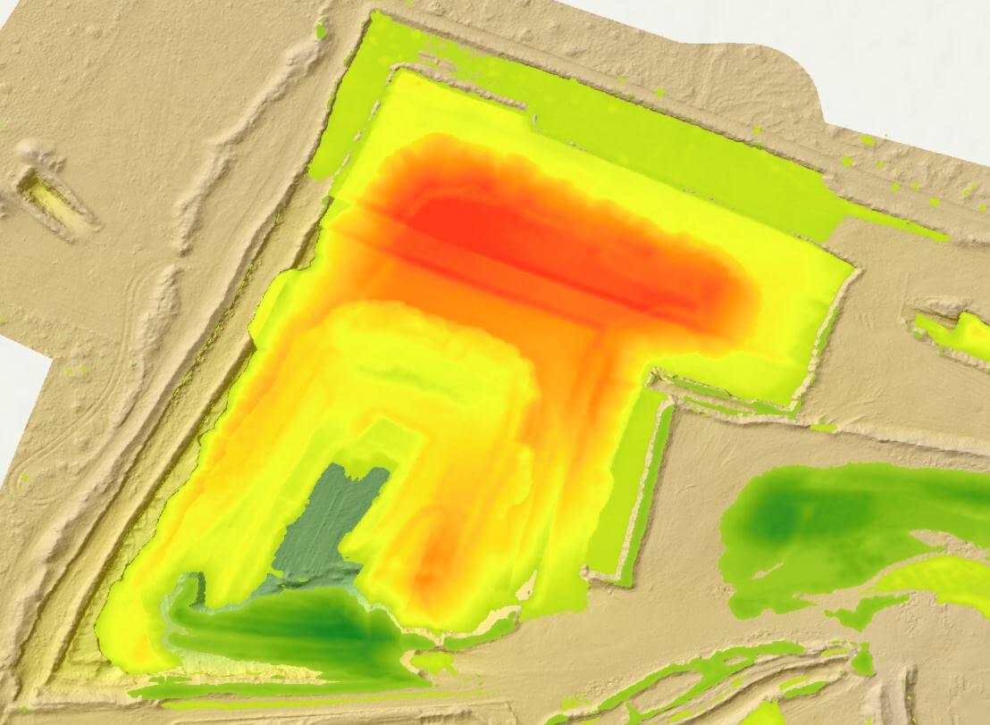
Keeping up-to-date data sets for large project areas can be a challenge. With our aerial data services, you can get a full picture of your worksite starting with aerial data capture from our fixed-wing aircraft. We then provide aerial data analytics and solutions to provide you with the up-to-date and detailed information you need to make informed decisions on the project.
Our expert aerial and vector data can be used to:
- create models and ongoing datasets,
- make pivotal decisions in change detection operations and proactive monitoring, and
- implement machine learning solutions to make data collection and analysis easier and scalable.
Choose aerial data services from Prius Intelli
We offer a wide range of aerial data solutions, based on your project’s unique needs.
Why work with Prius Intelli analytics?
Your partner for aerial
analytic services
As an Esri Bronze Partner, we work with ArcGIS and Esri platforms to ensure our clients receive top-of-the-line data solutions. Coupled with our high-quality aerial photography, these programs help us deliver top-notch results every time.
We understand the challenges
of your business
We know that high minimum spends can make getting large imagery and analytics providers impossible for some companies. Decision-makers may be forced to hire multiple contracts to meet their goals or left with imagery that isn’t being used to its full potential. We also know that large imagery and analytics firms can give off-the-shelf data solutions to clients whose needs might not fit in a box.
We know what matters
At Prius Intelli, we provide quality analytics, unparalleled service, a dedicated team, and extreme accuracy. When you choose us as your analytics solutions partner, we take the time to understand your project site and goals. That way, we’re better equipped to help you meet your company’s objectives and set up an intelligent business model for the future. Why trust your project with anyone else?
Your Partner in Enhanced Geospatial Data
Get
Started.
Have a project in mind? Let’s dive in! Get a FREE quote for your project.*
*Please allow 24 hours for a response.