Advanced GIS Mapping Services and Geospatial Data from the Experts

Get accurate, high-resolution GIS maps and geospatial data services when you need them.

GIS Mapping Services

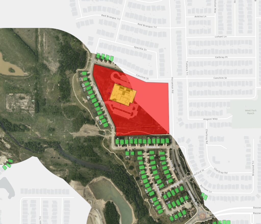
Unlike a standard map, our GIS mapping services provide a two- or three-dimensional interactive view of the surface, and can have multiple layers of data and information. When selecting a GIS mapping services company, you need a partner you can trust. Prius Intelli offers highly accurate basemaps that serve as a foundation for your operational and reference maps. Our up-to-date basemaps provide context for your plans and help you consider:

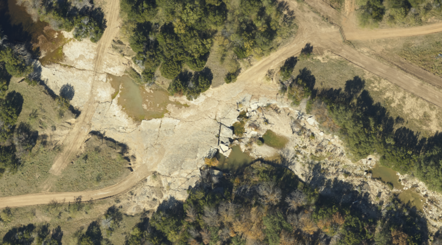
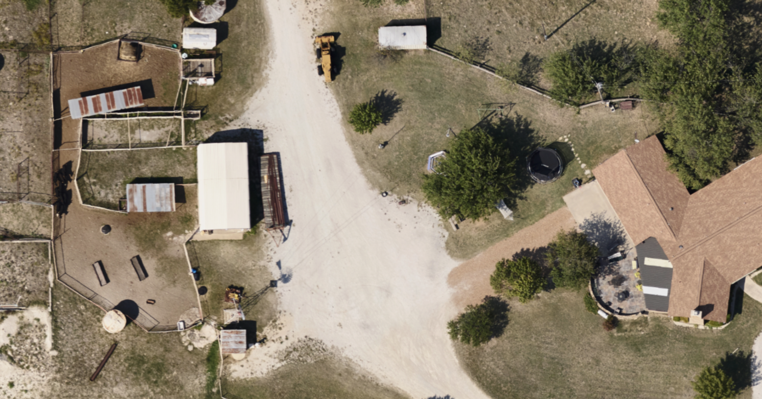
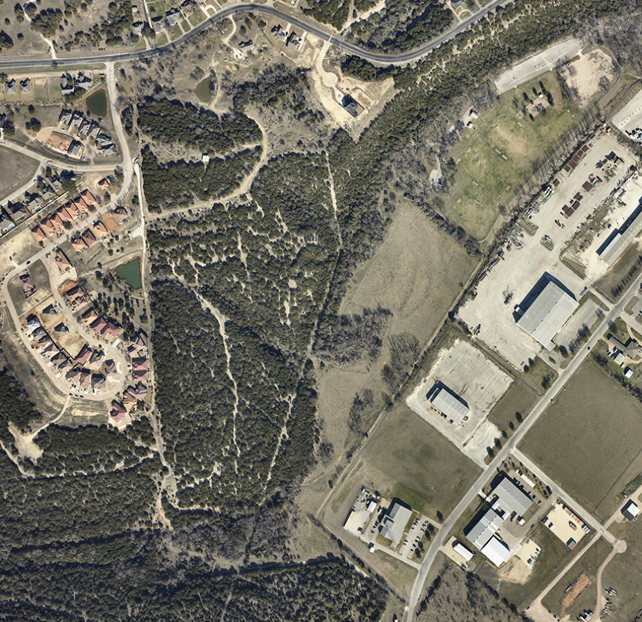
Using our high-resolution fixed-wing aerial imagery, accurate data from DEMs, and additional information from third-party data sources, we provide comprehensive and easy to understand maps for our clients.

Frequently asked questions about GIS Mapping Services

Get to know our GIS Mapping Services and other GIS-related and geospatial data services.

What are GIS Mapping Services?

Geographical Information Systems (GIS) services and mapping is a crucial resource for most companies working in oil and gas, environmental protection, insurance, and real estate, to name a few. Unlike a standard map, our GIS mapping services provide a two- or three-dimensional view of the surface, subsurface and atmosphere in a particular area.

What is GIS Analysis?

Since GIS mapping can reflect contour, elevation, resources, and other environmental features, they provide a foundation of data that site engineers can utilize for selection, development, management and crisis prevention.

What is Geospatial Data Intelligence?

Geospatial data intelligence refers to the use of advanced analytical techniques to extract insights from geospatial data, such as satellite imagery and other location-based data. This enables organizations to make more informed decisions and to optimize their operations.

What is Spatial Analysis?

Spatial analysis refers to the use of GIS tools and techniques to analyze and interpret data in a spatial context. This allows for the identification of patterns and relationships within the data and can be used to answer a wide variety of questions, such as identifying the most suitable location for a new store, predicting the spread of a natural disaster, or monitoring the changes in land use.

Common use cases we support

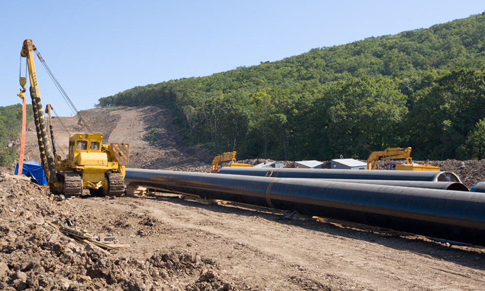
Route/ Reroute Planning
Runoff/ Streamflow Analysis
Site Selection
Environmental Tracking & Recovery
Slope Analysis
Elevation/ Contour Study
Commercial Development
Spill Management
Alignment Sheet Creation
Terrain Analysis
Commercial Development
Groundwater Resources
Timely, Relevant GIS Data

Need something more specific?

With semantic segmentation, we can extract roads and other manmade structures for maps used in land-cover classification. We can then use collected, created and aggregate data to overlay operational and reference maps to provide the full picture to clients.

Why utilize Prius Intelli GIS Services?

Tailored Solutions

We take your business seriously. Our team focuses on high-integrity services tailored to your industry and goals, because we know how important the right maps can be to the success of your project.

Incredible Accuracy

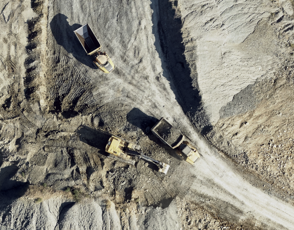
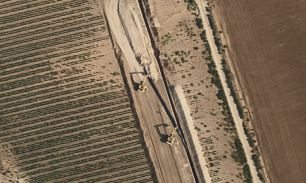
Despite the ever changing environment, traditional GIS sources are often outdated or obsolete. With Prius Intelli, you know precisely when our data was collected and have a full understanding of the point in time it reflects. We use incredibly high-resolution imagery (from 1-6 inches at the ground level) and elevation data to make them more accurate and relevant than alternatives.

Highest Quality

We offer the highest-quality images possible, for resolution you can depend on. Most publicly available imagery and elevation data is outdated or too low of resolution to make informed decisions.

Fast & Agile

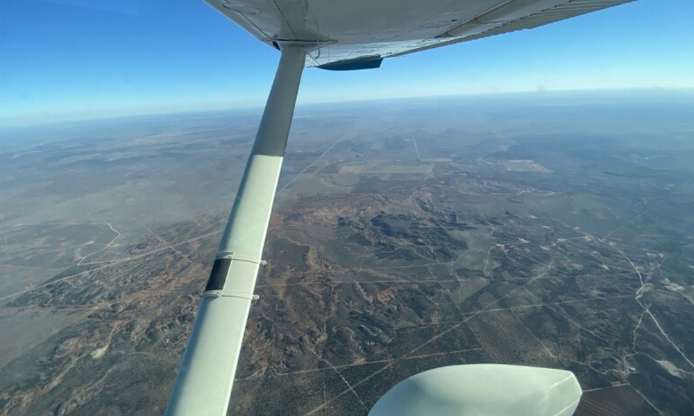
Unlike other imagery that is outdated or obsolete, our images are taken on-demand and delivered in a time-sensitive manner. We achieve this with our own personal fleet of aircraft that are ready when you need them.

Your Partner in Enhanced Geospatial Data

Get
Started.

Have a project in mind? Let’s dive in! Get a FREE quote for your project.* 

*Please allow 24 hours for a response.