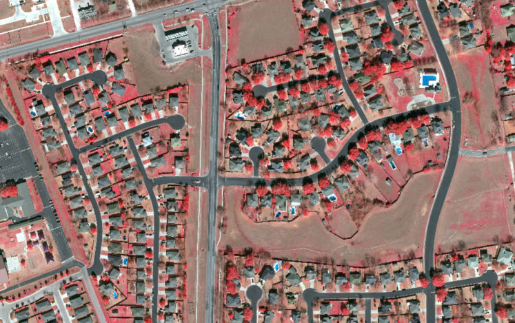
Multispectral imagery is a type of image or data collected from multiple bands of the electromagnetic spectrum, which delivers new levels of insight that would otherwise be difficult or impossible to obtain from the ground. 4-band aerial imagery is composed of four bands: red, green, blue, and near infrared (NIR).
4-Band Advantages for Planning & Land Management
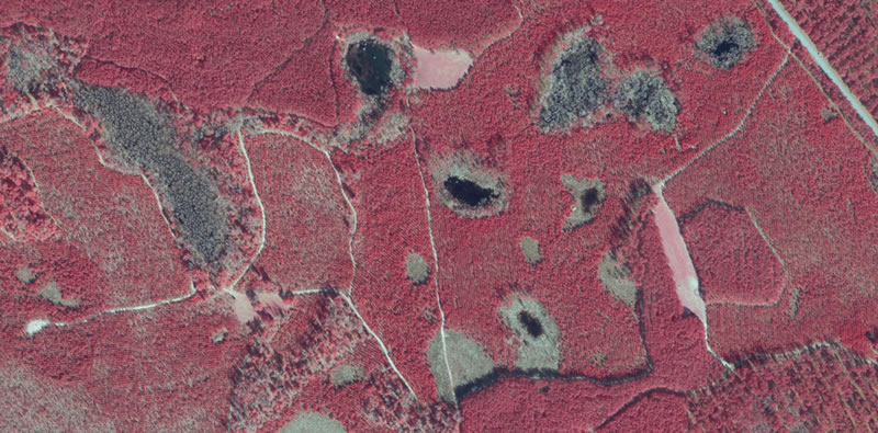
4-band imaging offers industrial planners and land managers a deeper understanding of the many components that make up their areas of interest. The inclusion of Near Infrared (NIR) provides invaluable intelligence regarding ground cover types, vegetation health, surface water boundaries, road surface quality, soil erosion levels, and even subtle topographical variations that may otherwise go undetected by more traditional methods. With applications ranging from environmental impact assessments to construction project monitoring to water resource management, 4-band is quickly becoming one of today’s most indispensable imagery tools for successful planning and operations.
High-Quality, High Impact 4-Band Aerial Imagery
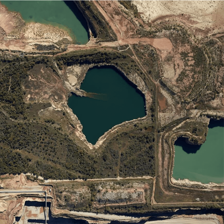
Prius Intelli’s 4-band aerial imagery is collected by manned aircraft that is flown exactly where – and when – you need it.
High Visibility
Large-format digital aerial cameras collect imagery at up to 3 cm ground sample distance, allowing for small infrastructure to be discerned in the visible light (color) and near infrared spectrums.
Pinpoint Precision
With Airborne GPS/IMU processing and ground control, the imagery is accurate to within one-half pixel vertically and 1 pixel horizontally.
Put Your Multispectral Imagery to Work – Quickly and with Confidence
Data analysts are on hand to help generate high-quality, high impact orthophotos and/or planimetric mapping data from your 4-band aerial imagery. Prius Intelli’s aerial imagery and mapping products are available in a variety of GIS and CAD formats.
Get A Quote