

Houston GIS & Aerial Imagery Services
Serving Houston, Texas, the Energy Corridor & Beyond
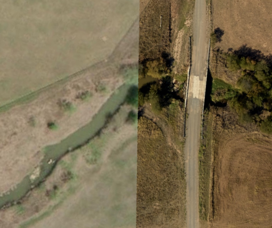
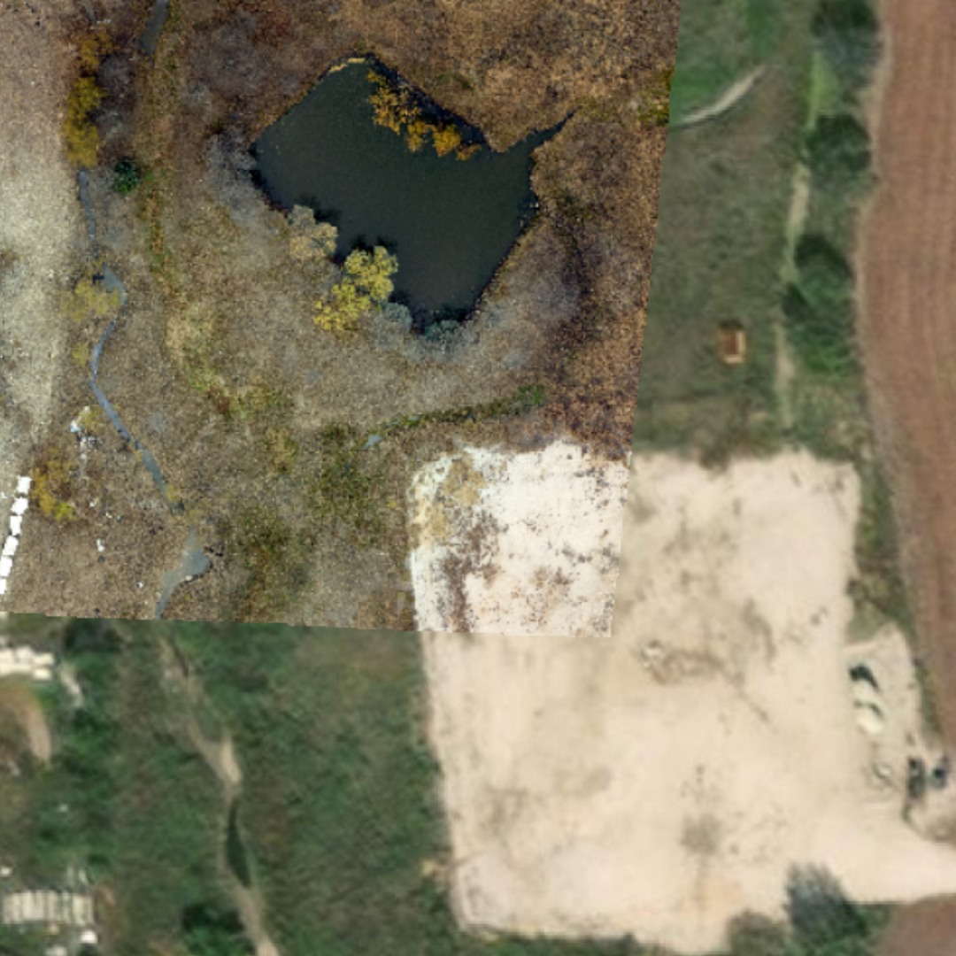
Aerial Imagery
Traditional RBG, 4-Band, and LiDAR services are available.
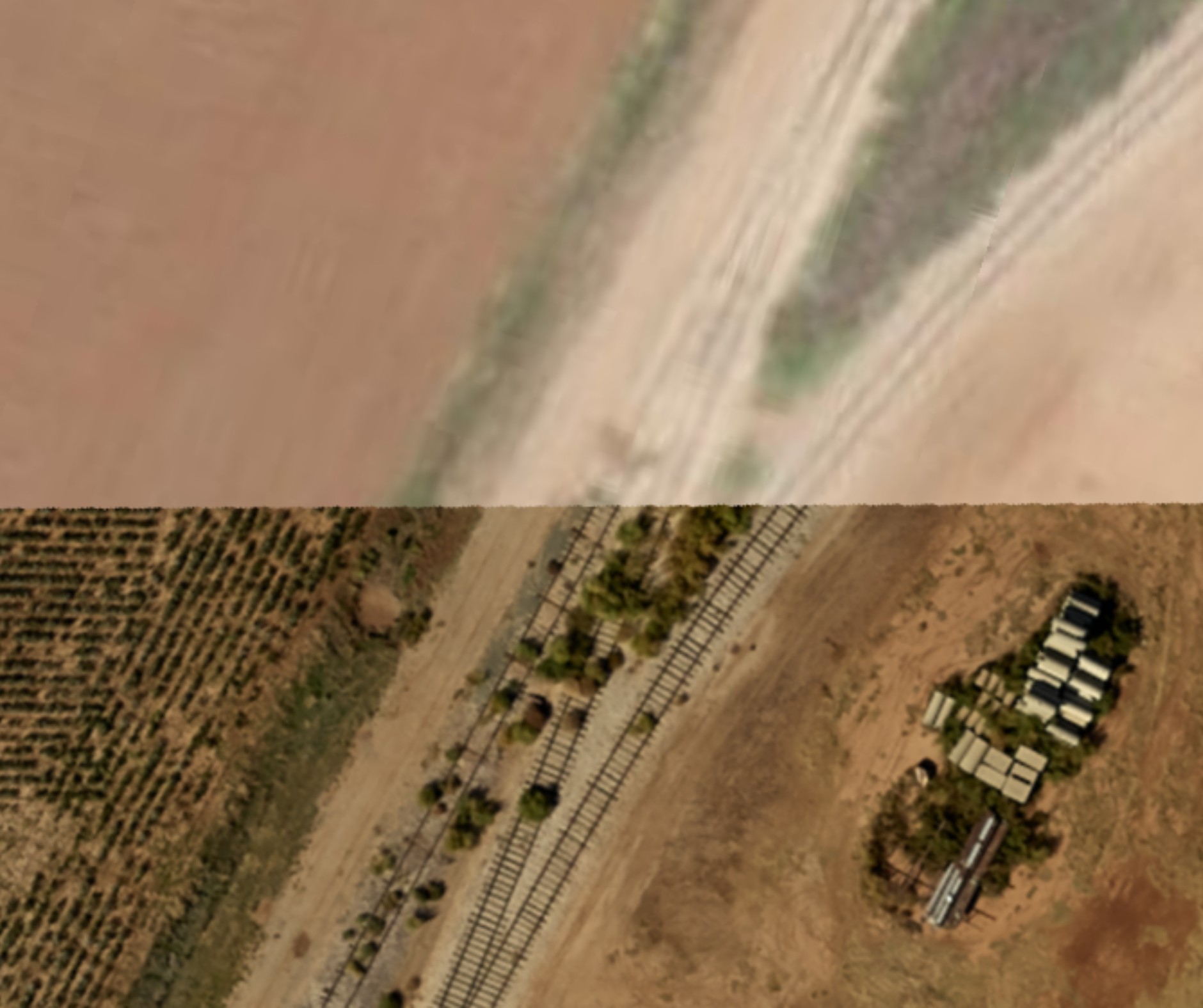
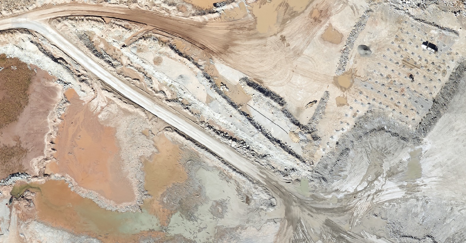
Oilfield Base Maps
Enjoy accurate, high-resolution maps of your AOIs at an incredible value.
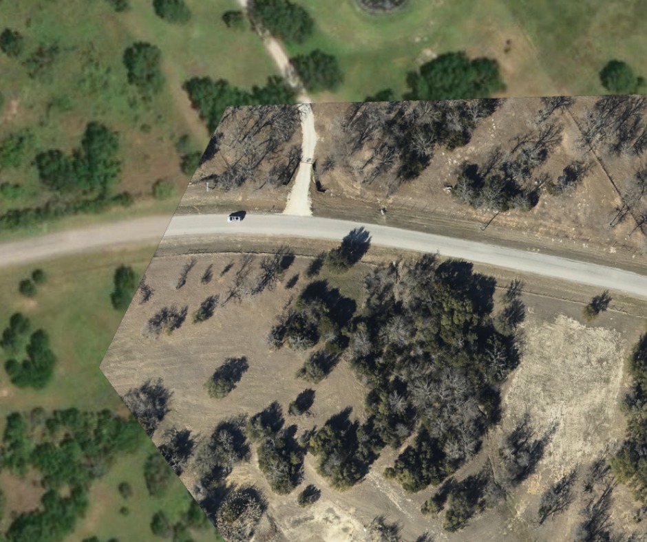
Digital Elevation Modeling
Better understand terrain to make more informed decisions.
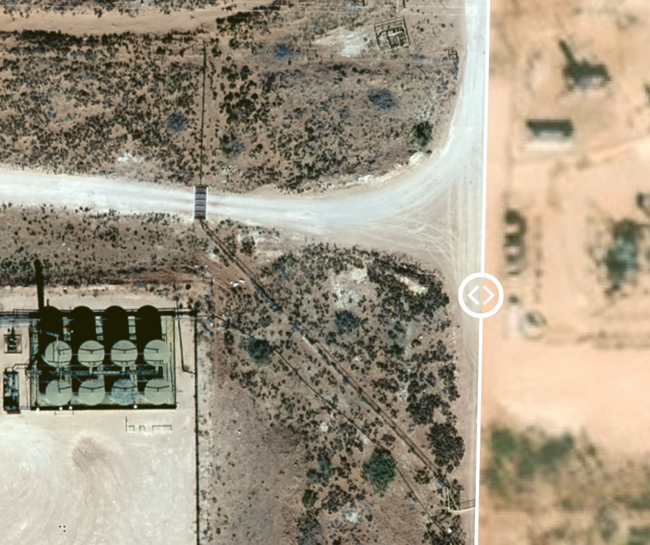
Data Analytics
Get the most out of your imagery with advanced data analytics, including change detection.
Houston GIS Map & Data Services
Houston, Texas is a vibrant city with a diverse economy that spans various sectors including healthcare, space exploration, and technology. But it is the energy industry that shines the brightest with the city famously known as “the energy capital of the world.” Houston is home to several Fortune 500 companies, including ConocoPhillips, Phillips 66, Halliburton, and Marathon Oil, among others. The industry employs over 220,000 people and generates billions of dollars in revenue.
Upstream and midstream energy players alike use GIS aerial imagery to make better decisions and reduce operational costs. E&P companies use up-to-date aerial imagery to develop base maps across their AOIs, providing the information needed to map everything out from pads to pipelines. GIS aerial imagery is also instrumental in simplifying pipeline classification efforts, helping pipeline operators keep up with ever-growing compliance regulations.
Did you know? The Houston Energy Corridor is a business district located along Interstate 10 in western Houston, Texas. The corridor got its name because it is home to many energy-related companies, including oil and gas exploration firms, drilling companies, and engineering firms. In recent years, the Energy Corridor has expanded to include other industries such as healthcare, technology, and finance, making it a bustling economic hub for the city of Houston.

How Our GIS Services Work
Delivering the best in aerial imagery is at the heart of Prius Intelli’s GIS data capabilities, and we are revolutionizing the way Houston-based energy companies do business. We provide custom solutions to a wide range of customers, including oil and gas operators and midstream companies with ventures located throughout the Lower 48. Our proprietary sensor configurations produce high-quality data at a lower cost, and that’s just the start. Our in-house GIS experts are available to help your operations and compliance teams maximize your data’s value.
Our manned aircraft aerial imagery services are available on demand, which means we deliver the data you need – exactly how and when you need it.
Schedule a call
Provide a few details on our “Get a Quote” page, then schedule a call with our team.
Let's talk.
Once we understand your project goals and objectives, we will tailor a solution and get you on the flight schedule.
Put your data to work. Fast.
Our on-demand, expertly crafted GIS data and imagery for Houston’s energy industry is typically delivered within 2- to 4-weeks (weather dependent).


