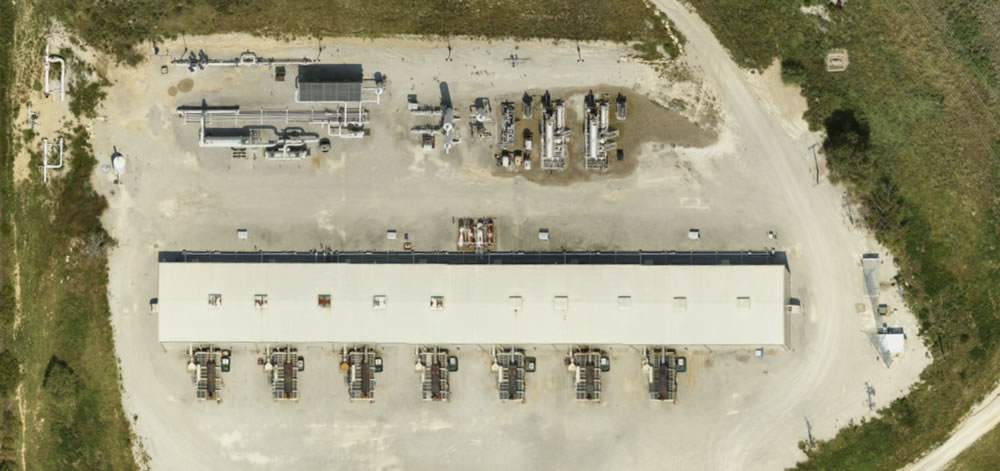
Rural Aerial Imagery
At Prius Intelli, we’re passionate about making aerial imagery more accessible to more people. We are honored to partner with Brian Shirley and Third Coast Geospatial to do just that, we call it rural aerial imagery. Take a look at the following case study to learn how:
The Situation
Brian Shirley has been in the GIS industry since 1987, working in both the public and private sectors. In 2006, Brian recognized that small, rural towns needed an alternative to hiring expensive in-house GIS teams and were often left behind by publicly provided data projects. To meet this need, Brian started Third Coast Geospatial (3cGeo) to provide offsite services at scale, giving his clients the benefits of budget-friendly solutions that deliver great results.
The Problem
If one thing is certain, 3cGeo knows the aerial business. And working with small communities has given Brian and his team a broader awareness of the challenges of accessing quality aerial imagery quickly and affordably. Small towns depend on quality data to develop base maps that are critical to making land improvements and settling disputes. Because rural areas don’t get flown often, most imagery available to small towns today is outdated and has very poor resolution. But that changed when Brian met Hunter Herren and the Prius Intelli team.
The Solution
In 2021, Prius Intelli asked for permission to fly a test case in a small Texas town in 3cGeo’s network. Brian and his team were amazed at the results: Prius Intelli was able to deliver quality aerial imagery quickly and affordably. And the town leadership was thrilled at what the accuracy meant for their future projects. Thus, a mutually beneficial partnership was born. 3cGeo became an official Prius Intelli partner, helping sell aerial imagery services to their rural area clients. Countless small, Texas towns have benefitted from much-needed data, and 3cGeo’s connections helped Prius Intelli diversify its client base.
Together, 3cGeo and Prius Intelli have been able to bring affordable geospatial services to communities and organizations that need them. Interesting in learning how Prius Intelli can support your business? Get a quote today.


