The First to Understand Blog
Learn about the latest innovations and updates in the aerial imagery and GIS services space. Our experts help you understand how to use these services to benefit your business.
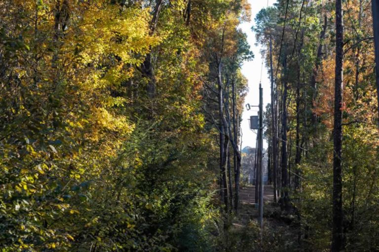
How Utility Vegetation Management Can Prevent Fines, Protect Lines
February 13, 2023
Utility vegetation management is critical maintenance for our power grid and with using aerial imagery, companies can drastically reduce inspection time.
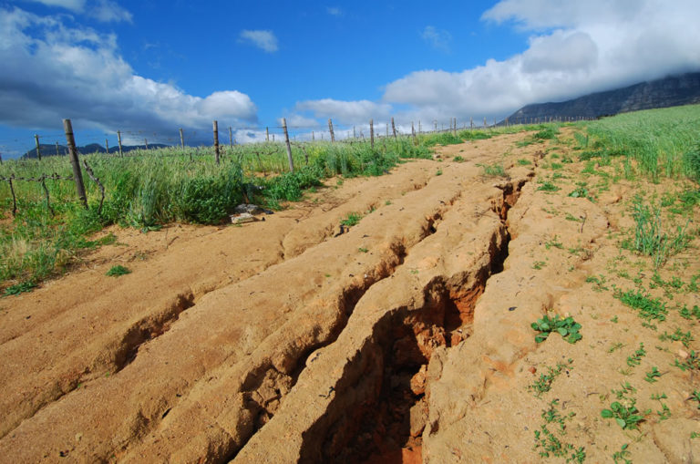
Geohazard Events & Managing the Risks
February 8, 2023
For the oil and natural gas industry, even smaller-in-scale geohazard events can create significant issues for pipelines and production facilities. Learning how to manage

The Secret Key to the Pipeline Planning Process? Compromise.
January 30, 2023
Can you relate? 1,400 individual tracks of land, hundreds of potential roadblocks. Read about an Austin-based pipeline company’s commitment to finding compromise on the
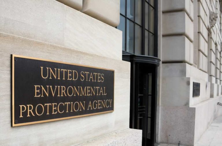
EPA Proposed Methane Rule Updates: Key Takeaways
January 20, 2023
Addressing climate change and improving air quality, the U. S. Environmental Protection Agency (EPA) held hearings on methane rules January 10-12, 2023, in an
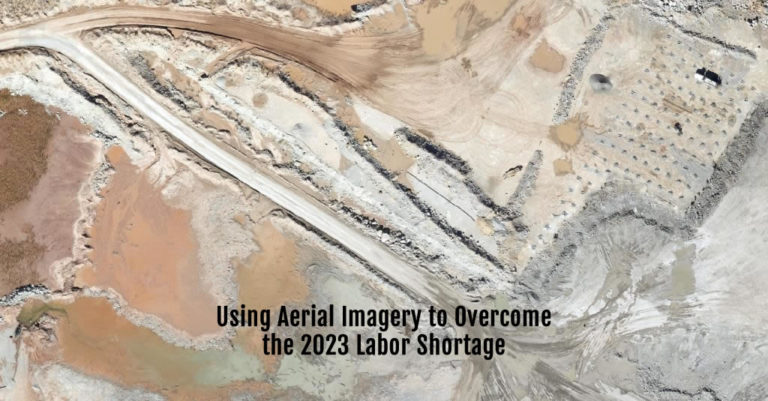
Using Aerial Imagery to Overcome Labor Shortage 2023
January 4, 2023
Labor Shortage 2023 The oil and gas industry—probably including your company—is dealing with the same labor shortage in 2023 as everyone from fast food
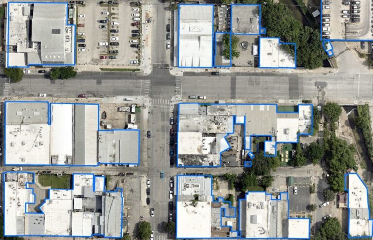
4 Planning Use Cases for Aerial Planimetric Mapping
December 6, 2022
Before starting a land-based project on any significant scale, it’s vital to know what objects are already on the landscape. Knowing the exact size,


