The Secret Key to the Pipeline Planning Process? Compromise.
The Secret Key to the Pipeline Planning Process? Compromise.
The Secret Key to the Pipeline Planning Process? Compromise.
The Secret Key to the Pipeline Planning Process? Compromise.

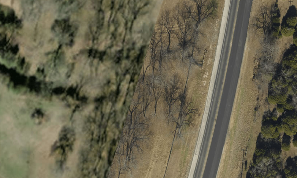
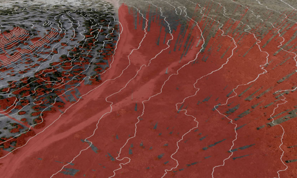
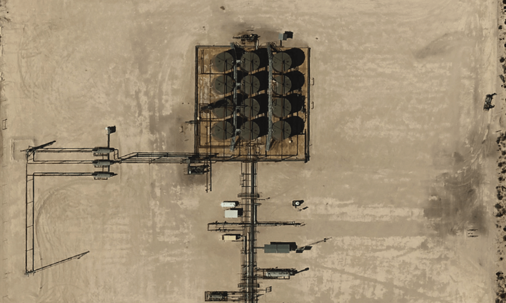
It is a well-known fact in pipeline planning that aerial imagery helps answer route-related questions fast. With it, planners can identify infrastructure currently in place – roads, structures, wells, rights-of-way, and more – as they carve a vitally necessary underground path across hundreds of miles of primarily privately-owned land.
But the pipeline planning process is more complicated, and much more emotionally charged, than simply sidestepping infrastructure and other obstructions. Landing on the best route possible is about sensitivity – and finding route-related compromises that address landowner issues.
WhiteWater Midstream
WhiteWater Midstream, an Austin-based infrastructure company and Prius Intelli client, is committed to finding those compromises.
WhiteWater is currently completing route planning on a natural gas pipeline connecting a production hub in West Texas with a market hub outside of Houston. The pipeline traverses 1,400 individual tracts of land, impacting hundreds of different landowners. WhiteWater believes that each of these landowners deserves respect and the attention needed to minimize impact on their property. From worries regarding the proposed route running too close to a house or straight through where a much-loved dog is buried, these are real concerns. And, while landowner issues are handled through attorneys, it falls on WhiteWater’s planning team to find solutions that set each landowner’s mind more at ease.
That is where high-quality, highly current aerial imagery really comes into focus.
Fixed-Wing Aerial Photography
At WhiteWater, the company invests in fixed-wing aerial photography encompassing hundreds of square miles along the proposed route. Taken just weeks prior to the start of the project, the flyover captures the exact conditions on the ground. The planning team then uses the imagery to address landowner concerns – quickly, efficiently, and with the sensitivity the issue deserves, be it big or small. From their desks, pipeline planners can zoom in and see exactly what the landowner is talking about. They can analyze the “lay of the land” in real-time, propose a compromise, and adjust the route accordingly. The digital intelligence saves time and money, eliminating the need to send costly crews to investigate issues on the ground. According to WhiteWater’s Technical Services Director, for what good aerial imagery costs, “it saves 10x or more on the backend” just in helping overcome the landowners’ route-related concerns.
Building the pipelines needed to carry natural gas to market is critical to keeping industries up and running and families comfortable in their homes. It is not lost on infrastructure companies like WhiteWater that private landowners bear the brunt of this progress. That’s why dedication to finding mutually agreeable solutions is the secret key to success in the pipeline planning process. It’s compromise that leads to the best route possible.
Do you have a pipeline project on the horizon? Give Prius Intelli a call.


