Geohazard Events & Managing the Risks
Geohazard Events & Managing the Risks
Geohazard Events & Managing the Risks
Geohazard Events & Managing the Risks

Volcanic eruptions, earthquakes, massive tsunamis. The term “geohazard” instantly brings catastrophic events to mind. In the United States, there can be a tendency to think such wide-scale disasters can never happen here. And, if they do, the chaotic scenes we see on the news and social media seem unimaginable.
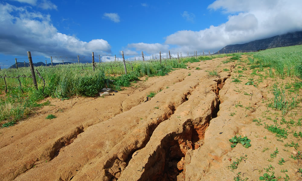
But geohazard events can and do happen in our own backyard. According to definitions.com, a geohazard is defined as any “geological state that may lead to widespread damage or risk” and include anything from earthquakes to landslides to simple soil erosion.
Protecting Life & Property
While no one can control Mother Nature in the moment, measures must be taken where they may to help protect life and property. For the oil and gas industry, that means thinking ahead to help minimize a potential geohazard event’s impact on infrastructure such as pipelines and production sites.
-
- Pipelines travel hundreds of miles, under all kinds of terrain. Mountains, hills, and bodies of water in particular are subject to forces of gravity and erosion that can shift soil. When that happens, it affects things on top—roads and structures—and things underneath. That is, pipelines.
-
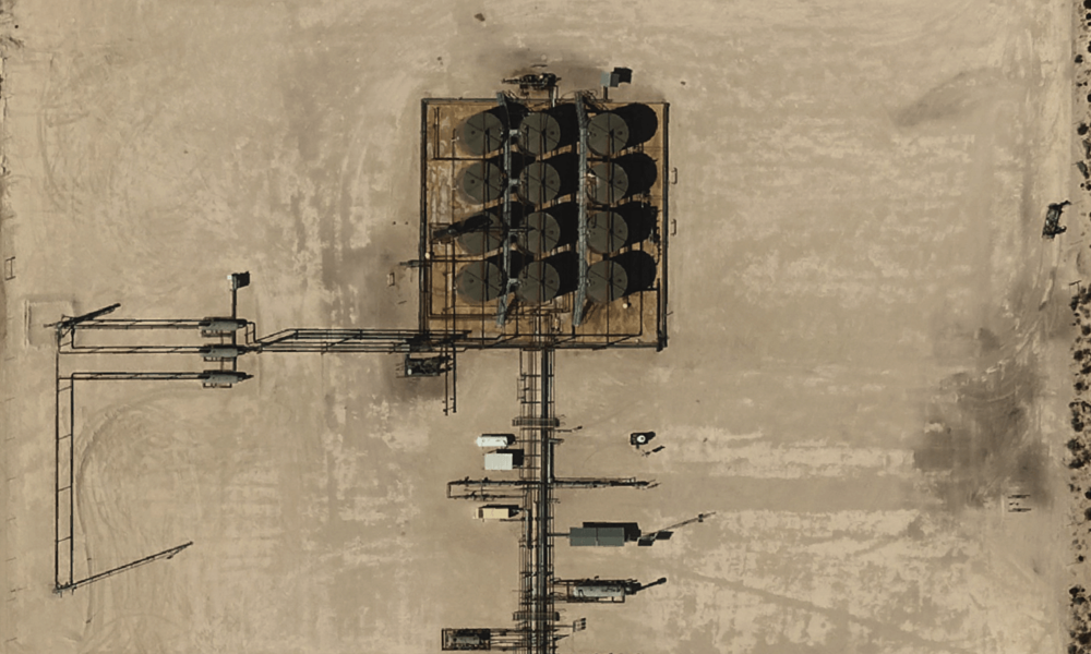
- On the E&P side no single facility stretches for miles like pipelines do. But many pad sites in Colorado, Wyoming, Montana, and elsewhere are located on hillsides and mountains or near streams. Any ground shift can be devastating.
Managing Geohazard Risks – A Focus on Before and After
For Midstream and E&P planners, managing geohazard risk involves reducing the likelihood of an event before a project gets off the ground, while also mitigating damage should an event happen. Aerial imagery is a powerful tool that assists with both.
-
- Risk assessment and planning (before something happens).
-
- Damage assessment and mitigation (after something happens).
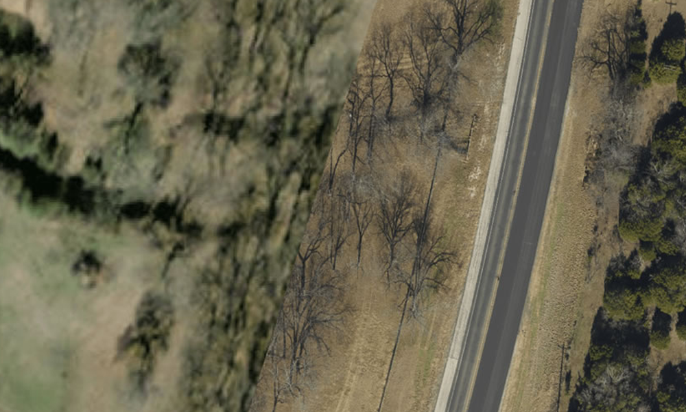
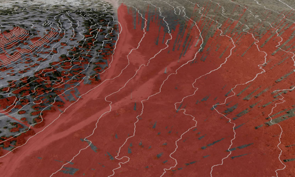
Aerial photography can cover hundreds of miles quickly. This is a real benefit in planning because it gives a clear overview of the project’s scope. With digital elevation data included, planners understand the areas of greatest concern. Steeper slopes create a greater chance of a soil shift that could stress the pipeline or undermine site structures.
https://youtu.be/XkN_H7-4qsc?si=ES_OtTzpoTQ6HzCz
Planners, including engineering geologists, can also see streams and lakes. Any geologic feature containing water can overflow, wash out or change course quickly. These changes can be caused by a storm, a pipeline leak, or some other unexpected event. To this risk add the fact that oil or refined products spilling into a river or stream could quickly cause widespread damage.
Aerial views let planners route around problematic geologic features if possible. If avoidance is not an option, engineers can design protective measures such as installing extra shutoffs and sensors. This would allow immediate action in case of any leak.
It is important to note that aerial photography and elevation data do not eliminate the need for ground surveys. They do, however, give critical insight early on, which can speed the process.
After an event, aerial photography and elevation data can quickly reveal the scope of the issue. They also show how much the runoff shifted dirt, and how that affected nearby structures. This can speed remediation. It can also help companies shore up affected structures to prevent further damage.
Geohazard Events Happen
Large and small, geohazard events occur. For the oil and gas industry, up-front planning with aerial photography can help reduce potential risks. If something does happen, aerial data can make mitigating the impact faster and more efficient.


