How GIS with Pipeline Digital Twins Inform Present & Future
How GIS with Pipeline Digital Twins Inform Present & Future
How GIS with Pipeline Digital Twins Inform Present & Future
How GIS with Pipeline Digital Twins Inform Present & Future

What if you could do a virtual experiment with a range of possible changes in pipeline operations and accurately see how each would work? Then you could pick the best option, with a strong likelihood of success. And you could use GIS (geospatial information systems) to accurately integrate that information with the rest of your operations. Introducing pipeline digital twins.
Pipeline Digital Twins
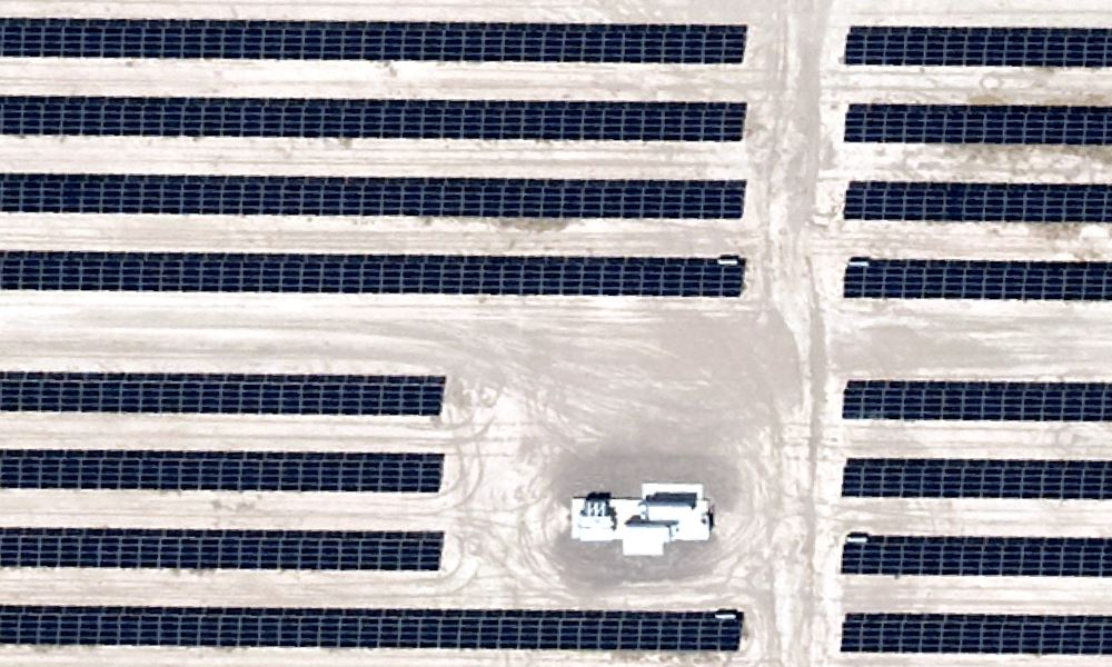
More and more industries—including forward-thinking midstream companies—are using pipeline digital twins technology to do just that. They are relying on aerial imagery to efficiently update GIS maps of their far-flung operations.
Briefly, a digital twin is a computer model that is an exact replica of a physical object, system or process. It is designed to be exactly the same as its real-world twin. The digital twin is used for simulation, integration, testing, monitoring, and maintenance.
What is GIS?
A GIS system is made up of computer hardware and software that stores geographic data for the purpose of visualizing, managing, analyzing and otherwise gaining insights.
What Does GIS Do for Digital Twins in Data Analytics?
Why is GIS imagery more important in midstream twins than in, say, a factory situation? Let’s think back to school days.
Did you grow up around any identical twins? Did you have trouble telling them apart? Ever know one of them to impersonate the other for a test—or a date? For digital twins to be useful in informing planners and managers of their operations, always being identical is vital. In an enclosed factory, that’s not a problem. It’s a protected environment. Any changes in machines or connections can be updated into the digital twin internally.
But in midstream oil and gas, you’re spanning hundreds of miles. That includes fields, lakes, roads, parking lots and structures. All of those are subject to changes that can affect the pipelines’ operation, or the impact level as rated by PHMSA. If one twin gets a chipped tooth or dyes her hair, the history teacher will recognize the switch and fail one or both. The same is true of the digital variety—and they can be kept identical with updates from regularly scheduled aerial imagery.
A white paper from ESRI (Environmental Systems Research Institute), the global market leader in geographic information system (GIS) software, gives great detail on how this works. Entitled, “Geospatial Technology — The Foundation for Creating a Pipeline Digital Twin,” the paper explains how GIS technology combines with digital twins to give midstream operators insight into current operations. Its extensive detail on those current details lets them use digital twins to diagnose problems as well as solutions.
How GIS & Digital Twin Technology Enables Modeling Techniques
According to the paper, GIS helps organizations understand geography to see “real-world complexities, relationships, and patterns.” It is the enabling technology for connecting digital images to the corresponding real world—and it aligns those images with other digital twins in time and space.
GIS is useful to many operators in recording all geographic information regarding the location and associated features of all assets, the paper notes. That’s because it is critical to pinpoint pipeline locations for “integrity, operations, and construction projects.”
Real Time Data Availability to All Users
Gone are the days of going to a specific location to unroll a sheet drawing, flip through and tally a stack of data sheets, and wonder why the one you need is mysteriously missing.
GIS assembles all that into a digital twin format that can be accessed and examined by all authorized personnel at any time and from any location. And through the digital twin, that data can be used to visualize operations or optimizations. The abundance of geospatial information aids in making “locationally intelligent decisions,” says ESRI, adding, “This significantly impacts how pipeline companies operate by increasing the speed, accuracy, efficiency, and dissemination of information and results.”
Why Update When Pipelines Don’t Move
Barring an earthquake or powerful flood, pipelines indeed do not move. So why are regular aerially gathered GIS updates necessary?
The environment around the pipelines is in constant flux. Even in remote locations there can be natural changes, such as the aforementioned flooding, that could expose pipelines to washouts. They could also change potential runoff patterns important in planning remediation for any future pipeline leaks.
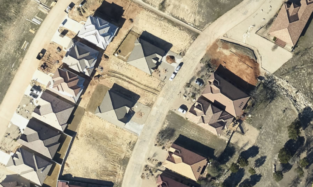
In urban landscapes, homes, businesses, factories, roads and other structures are in constant flux. Therefore, digital twins’ GIS data must reflect those changes. This is certainly true in planning. But new PHMSA rules regarding medium and high-impact areas make even existing pipelines subject to reclassification. A digital twin can be useful in identifying such changes, but only if new encroachments are regularly identified.
Fixed-wing-based cameras can quickly and thoroughly cover hundreds of miles. The resulting data is digitized, ready to plug in to existing databases again without printing maps or siloing any information on a single computer. As the real twin changes its hair style, its digital version gets the same makeover.
GIS & Three-Dimensional Modeling Techniques
Pipelines are thought of as being purely linear, only two-dimensional—spanning straight lines. But the truth is that, as the paper notes, “Pipelines have dips, bends, and directions that move up vertically on risers or downwards with directional drilling projects. To enhance pipeline information and the real-world representation of pipelines, the asset data requires X, Y, and Z coordinates which are best displayed in a three-dimensional environment.”
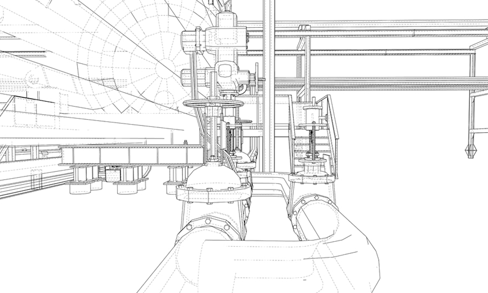
Many times, a pipeline operator will need to see a valve or compressor station in their GIS, at CAD-level or in a 3D perspective. That makes it a more realistic representation, in line with digital twin expectations.
Aerial Imagery Gets Elevations
GIS can specify where the object is in two dimensions, while imagery-derived elevation data and/or LiDAR give details about terrain, including slopes, hills, and valleys. Both are important in understanding flow mechanics.
LiDAR, short for “light detection and ranging,” bounces bursts of laser light off objects and measures the time it takes for the image to return to the plane’s onboard sensor. It collects this data in a dense grouping of point readings called point clouds.
Imagery-derived elevation data is created from the overlap in an aerial imagery collection to make the same type of data output as a LiDAR collection. While the collection methods differ, the outputs are very similar.
What It All Means to Operational Data
GIS-integrated digital twins let midstream companies clearly picture their operations. And because the twin is flexible and interoperable, it can be integrated, in real time, into other platforms and connected with other geospatial data. This means operators get both the “big picture” of where their system is in the world, and the “small picture” of every detail they need to observe and evaluate.
Regular updates through aerial photography assure that the digital twin accurately represents reality. Which is, after all, the whole purpose.
To learn more about Prius Intelli’s aerial photography options, click here: Aerial Imagery Solutions & Services.


