


Exploring the Differences Between an Orthophoto and an Aerial Photo
At a glance, the difference between an orthophoto and an aerial photo may seem insignificant but for pipeline or utility planning, an orthophoto is needed.
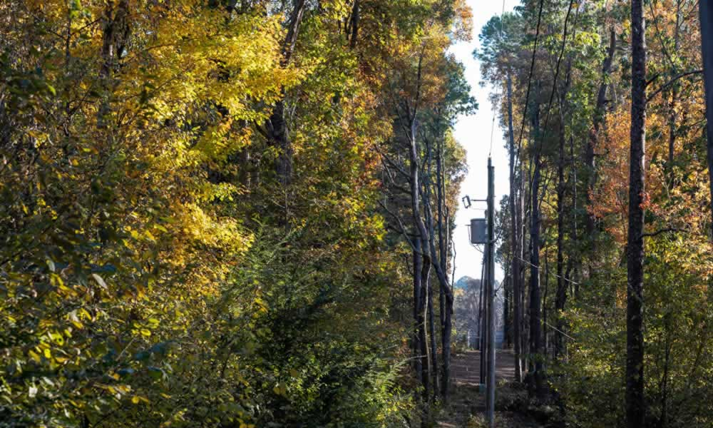
How Utility Vegetation Management Can Prevent Fines, Protect Lines
Utility vegetation management is critical maintenance for our power grid and with using aerial imagery, companies can drastically reduce inspection time.
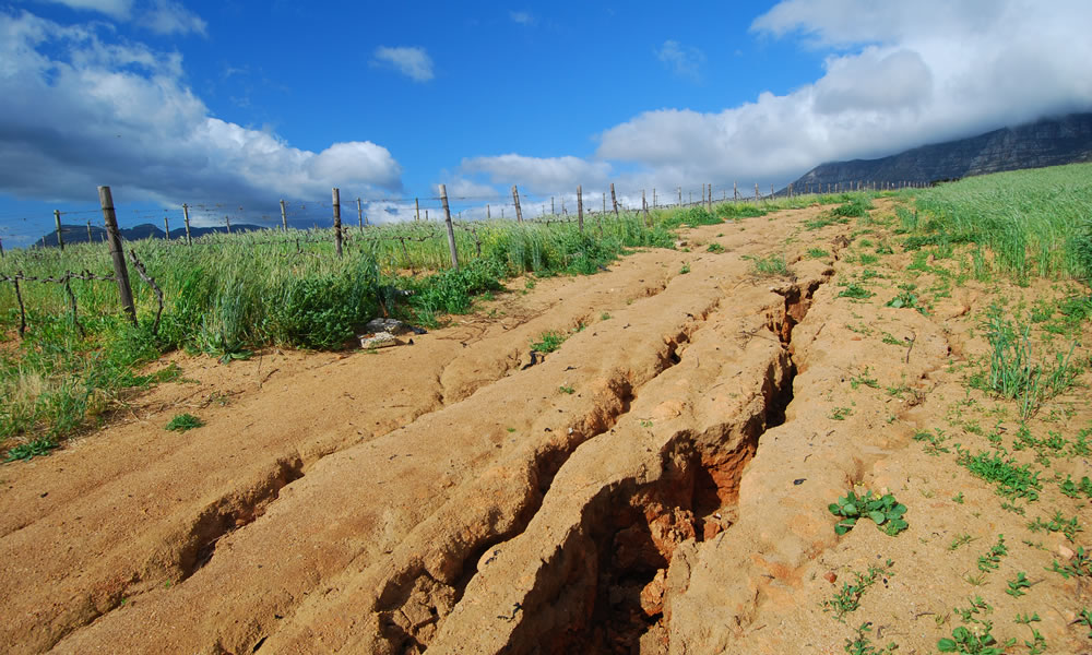
Geohazard Events & Managing the Risks
For the oil and natural gas industry, even smaller-in-scale geohazard events can create significant issues for pipelines and production facilities. Learning how to manage the risks is critical for your business.
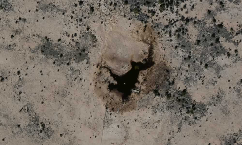
Ecological Remediation Accelerated Using GIS Services
After an ecological event, you need to remediate the area and limit the encroachment on the ecology. Learn how aerial imagery can help.
The Benefits of On-demand Aerial Imagery
How does a company effectively evaluate things without enough boots on the ground? Learn how on-demand aerial imagery changes the game.
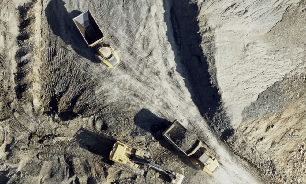
Aerial Imagery & GIS Can Improve Sand Mining & Other Surface Mining Operations
Operational efficiency is the key to success for sand mining and other surface mining operations. As costs rise, mining operations are digging for actionable information as much as they’re digging for product.
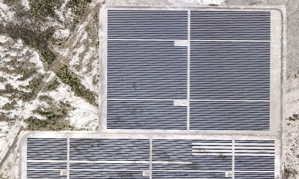
GIS Imagery Helps Wind, Solar Farms Avoid Environmental and Endangered Species Pitfalls
Industries across the board are recognizing the usefulness of aerial imagery and GIS data in site selection. Slope, elevation, runoff, vegetation, proximity to roads and other infrastructure, population centers[...]

