

GIS Imagery Helps Wind, Solar Farms Avoid Environmental and Endangered Species Pitfalls
GIS Imagery Helps Wind, Solar Farms Avoid Environmental and Endangered Species Pitfalls
GIS Imagery Helps Wind, Solar Farms Avoid Environmental and Endangered Species Pitfalls
GIS Imagery Helps Wind, Solar Farms Avoid Environmental and Endangered Species Pitfalls

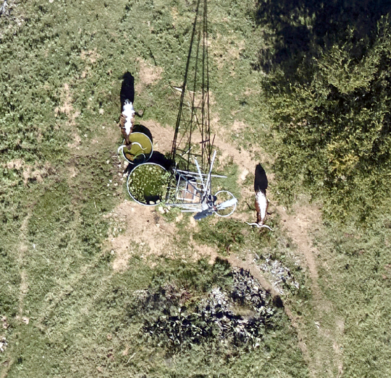
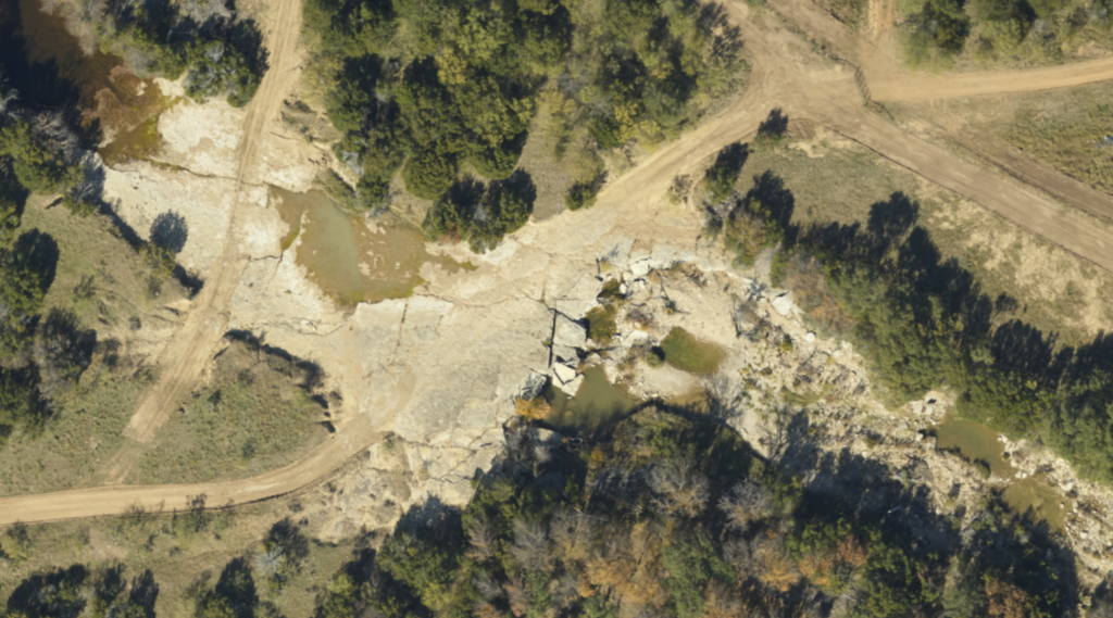
Industries across the board are recognizing the usefulness of aerial imagery and GIS data in site selection. Slope, elevation, runoff, vegetation, proximity to roads and other infrastructure, population centers and industry—all these things figure into construction costs and peripheral expenditures that can play heavily in the make-or-break decision on a site, no matter the industry. Industries are also learning how to avoid environmental problems using aerial imagery.
How to Avoid Environmental Problems
Due to their focus on protecting the planet and being good public citizens, wind and solar operators face an additional issue in site selection: observing protected areas such as wetlands, forests migratory patterns and endangered species habitats. This is another area where GIS data provides information that can prevent damage to these habitats and avoid fines and regulatory delays for operators.
Different States, Same Solutions
For example, Texas, a US leader in wind power generation, is home to such species as the Mexican spotted owl, the lesser prairie chicken, the sand dune lizard and others who are listed as anywhere from endangered to vulnerable.
California, a top producer of solar electric generation, is home to the Yosemite toad, the yellow-billed cuckoo and the desert tortoise, among others. There are also a number of plants listed as endangered in every state. Wetlands, drainage, flooding maps and other geographical issues also come under the purview of various federal, state and local agencies.
State lands, operated by the Bureau of Land Management (BLM) and Native American historic sites such as burial grounds or religiously significant locations are also issues to be aware of. In Texas, where most land is privately owned, the second largest landowner is University Lands, which administers the leasing of those lands for grazing, oil and gas production and other use, to create income for the state university system.
So how does a site selection task force know when such habitats and locations will present a regulatory and permitting challenge? Prius Intelli technicians are well versed in proactively locating and applying these maps to GIS data collected.
Overcome Habitat Challenges With Data
The pitfalls of not knowing or complying with these restrictions are real. More than one company has paid large fines, delayed a project due to lengthy permitting procedures, or even shut down the project or the company as a whole because they did not anticipate these situations from the planning stage.
We have mapped such things as elk migration times for a Colorado company, and many similar issues. Some wind farm operators are concerned about the visibility of their turbines from residential areas, and GIS data can overlay wind turbine tower height with elevation data to provide that information.
Of course any power generation site will require proximity to infrastructure like transmission lines to carry away the electricity, roads for access to construction and service vehicles, and other operational information.
Certainly, environmental protection data is not just the concern of wind and solar companies. In recent years oil and gas firms in Texas and southeast New Mexico have dealt with concerns about the lesser prairie chicken and the sand dune lizard—so any company looking at developing a large site for energy or other use would do well to consider GIS mapping during the early planning stages, to smooth the procedure and avoid costly permitting snafus down the road.

