Using Aerial Imagery to Optimize Highway or Railway Expansion Route Planning
Using Aerial Imagery to Optimize Highway or Railway Expansion Route Planning
Using Aerial Imagery to Optimize Highway or Railway Expansion Route Planning
Using Aerial Imagery to Optimize Highway or Railway Expansion Route Planning

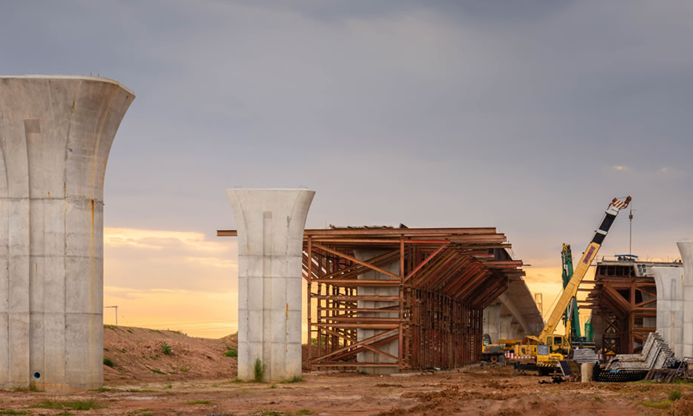
When it comes to highway or railway expansion route planning, having the right data and tools is essential. Aerial imagery gathered by fixed-wing aircraft can provide valuable insights and help planners make informed decisions. This data includes orthophotography (a type of aerial photograph that has been geometrically corrected), digital elevation models (DEMs), and Geographic Information System (GIS) mapping. Let’s explore how these elements can be used to optimize your highway or railway expansion route planning.
Orthophotography for Route Optimization
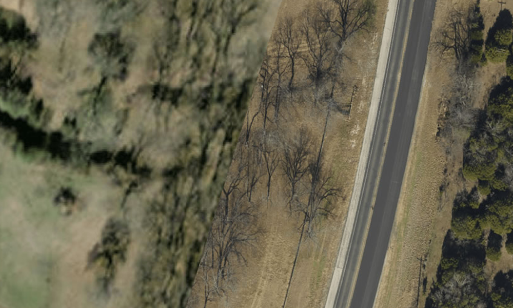
Orthophotography combines the attributes of a map with the detail of an aerial photograph. It is created from multiple overlapping photographs taken from a low altitude and then processed using specialized software to correct distortions caused by varying terrain and topography. The resulting image is georeferenced so it can be used as a reference for planning routes in 3D space. Orthophotography can be used for route optimization because it provides detailed information about existing conditions along the proposed path, such as land cover, topographic features, vegetation, infrastructure, obstructions, etc., which allows planners to quickly identify potential problems and adjust before construction begins.
Digital Elevation Models (DEMs)
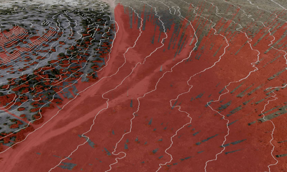
DEMs are digital representations of ground surface elevations based on aerial digital imagery. Digital Elevation Models provide planners with critical information about terrain features such as slope gradients and aspect ratios which allow them to plan routes with minimal environmental impacts while considering safety concerns like sight lines at intersections or other blind spots along the planned path. DEMs also provide data on drainage patterns that could affect road stability during heavy rain events or flooding periods – another important factor when considering route optimization for highways or railways expansions.
GIS Mapping from Aerial Imagery
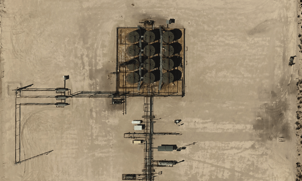
GIS mapping from aerial imagery provides planners with yet another layer of data they can use to optimize their proposed routes. GIS mapping uses orthophotography to create detailed maps that include physical features like roads, waterways, topographic relief, vegetation types, land cover classes etc., as well as man-made features such as buildings, airports, and railroads. This data can be used for both site selection and route optimization since it provides planners with an overall view of the landscape, which helps them identify potential hazards or opportunities along their proposed path before construction begins.
Expand with Confidence
Using aerial imagery gathered by fixed-wing aircraft is an invaluable tool for optimizing highway or railway expansion route planning projects. Orthophotography provides detailed information about existing conditions along the proposed path. Digital Elevation Models offer crucial insights into terrain features, such as slope gradients and aspect ratios that must be considered when determining optimal paths for these projects. GIS mapping from aerial imagery also provides an overall view of the landscape which helps planners identify potential hazards or opportunities along their proposed path before construction begins. By utilizing all three elements together – orthophotography, DEMs, and GIS mapping – highway and railway planners will have access to the critical data they need to make informed decisions when expanding their transportation networks.
Optimizing Highway or Railway Expansion – Aerial Imagery Advantages At-A-Glance
- Orthophotography from fixed-wing aircraft gives detailed information about existing conditions along the proposed route, allowing planners to identify potential problems.
- Fixed-wing imagery provides greater detail than satellite imagery and on-demand visualization of ground-level data. Because aircraft fly much lower than satellites do, they don’t have significant problems with cloud cover or shadows, which means they can capture images virtually at any time (weather permitting).
- Digital Elevation Models (DEMs) give insight into terrain features such as slope gradients and aspect ratios that must be considered.
- GIS mapping from aerial imagery creates detailed maps of physical and man-made features, which can help planners identify hazards or opportunities.
- Utilizing all three elements – orthophotography, DEMs, and GIS mapping – provides valuable data to help highway and railway planners optimize their expansion route planning projects.
Follow Prius Intelli on LinkedIn!


