Taking Flight: How Fixed-Wing Aerial Imagery & DSMs Pave the Way for Safe Drone Delivery
Taking Flight: How Fixed-Wing Aerial Imagery & DSMs Pave the Way for Safe Drone Delivery
Taking Flight: How Fixed-Wing Aerial Imagery & DSMs Pave the Way for Safe Drone Delivery
Taking Flight: How Fixed-Wing Aerial Imagery & DSMs Pave the Way for Safe Drone Delivery

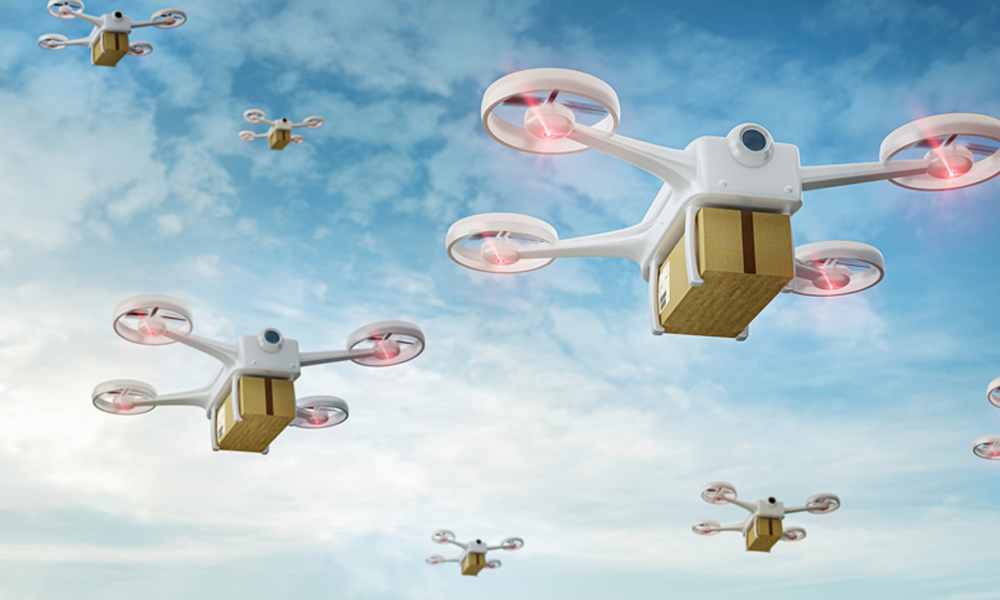
What’s that sound? It’s propellers whirring and the gentle buzz of anticipation with drone delivery quickly morphing from the pages of science fiction to reality. Companies worldwide are actively testing and implementing this innovative technology, aiming to revolutionize the way we receive our goods.
Safe Drone Delivery
But ensuring safe and efficient delivery in our complex world requires more than just powerful drones and a daring spirit. Behind the scenes, high-tech tools like up-to-date aerial imagery and digital surface models (DSMs) are playing a crucial role in shaping the future of goods delivered directly by drones to your doorstep.Read on to explore the exciting world of drone delivery, the companies leading the charge, and the fascinating challenges they are overcoming.
First, who’s testing the skies?
Several major players are at the forefront of drone delivery exploration:
- Retail giants: Amazon’s Prime Air and Walmart’s DroneUp programs are actively testing drone delivery in controlled environments within cities like Seattle and Dallas-Fort Worth.
- Logistics companies: UPS’s Flight Forward and DHL’s Paketcopter are working on integrating drone delivery into their existing logistics networks.
- Start-ups: Companies like Zipline, Flytrex, and Manna are focusing on specific niches, such as medical deliveries in remote areas or suburban food deliveries.
Challenges to navigate:
While the potential of drone delivery is undeniable, several hurdles need to be addressed:
- Regulations: Obtaining approval from aviation authorities like the FAA for Beyond Visual Line of Sight (BVLOS) operations remains a complex process, hindering widespread adoption. For now, most companies are testing drone delivery within visual line of sight (VLOS)in controlled environments, often for deliveries within a 1.5-mile radius of stores.
- Safety concerns: Ensuring the safety of both the drones and the communities they operate in is paramount. This includes addressing concerns about collisions, noise pollution, and privacy.
- Technological limitations: Battery life, payload capacity, and weather dependence are some of the technical challenges that need to be overcome for widespread and reliable drone delivery.
- Public acceptance: Building public trust and addressing societal concerns about drone technology is crucial for successful integration into everyday life.
The importance of up-to-date aerial imagery and digital surface models (DSMs):
In addition to the challenges mentioned above, planning and executing safe and efficient drone delivery routes is a critical aspect of this emerging technology.
This is where on-demand aerial imagery gathered by fixed-wing aircraft and DSMs come into play:
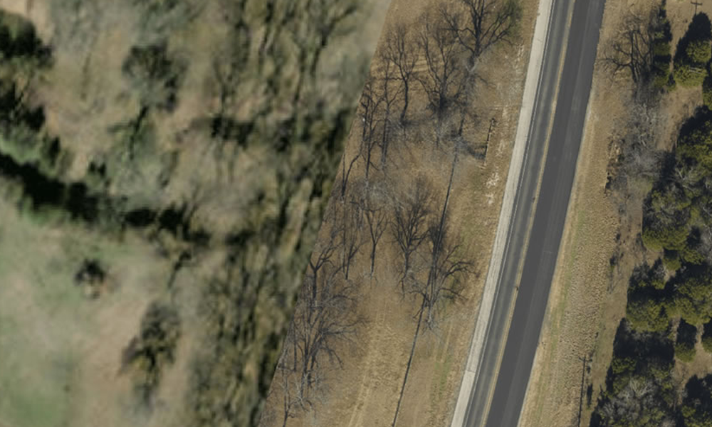
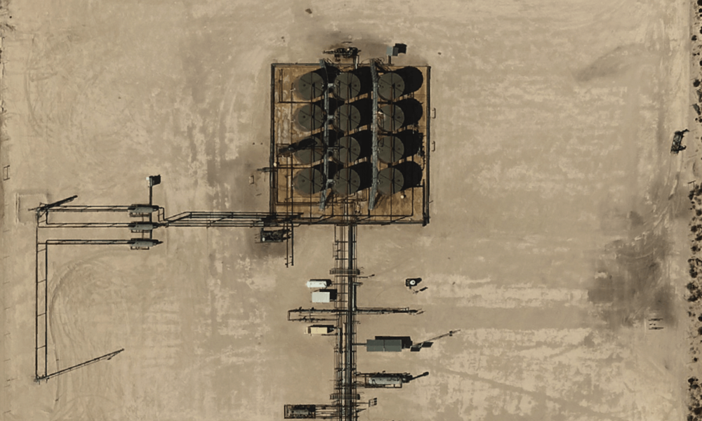
- Mapping optimal routes: High-resolution aerial imagery provides a comprehensive view of the operational environment, enabling companies to map safe and efficient delivery routes. This includes identifying potential obstacles, such as power lines, trees, and buildings, that could hinder drone flight paths.
For older, well-established urban areas, high-resolution satellite imagery may be sufficient for mapping optimal drone delivery routes. But, as we’ve explored before, satellite-captured image solutions like Google Earth are updated sporadically – and there’s no way for sure to tell when the satellite last snapped a neighborhood in question.
For high-growth suburban locales, imagery gathered by fixed-wing aircraft is a safer go-to option. For example, the potential drone delivery landscape in Collin County (located just north of Dallas, Texas) is changing daily. The area saw an incredible 13,045 new homes built in 2023 alone – that’s nearly 36 new homes added, county-wide, per day. With new homes comes additional infrastructure, further complicating optimal route identification and operational concerns. Fixed-wing aerial imagery flown on-demand captures a more accurate (and time-stamped) picture of conditions on the ground, providing drone delivery companies the intel they need to plan and fly with confidence.
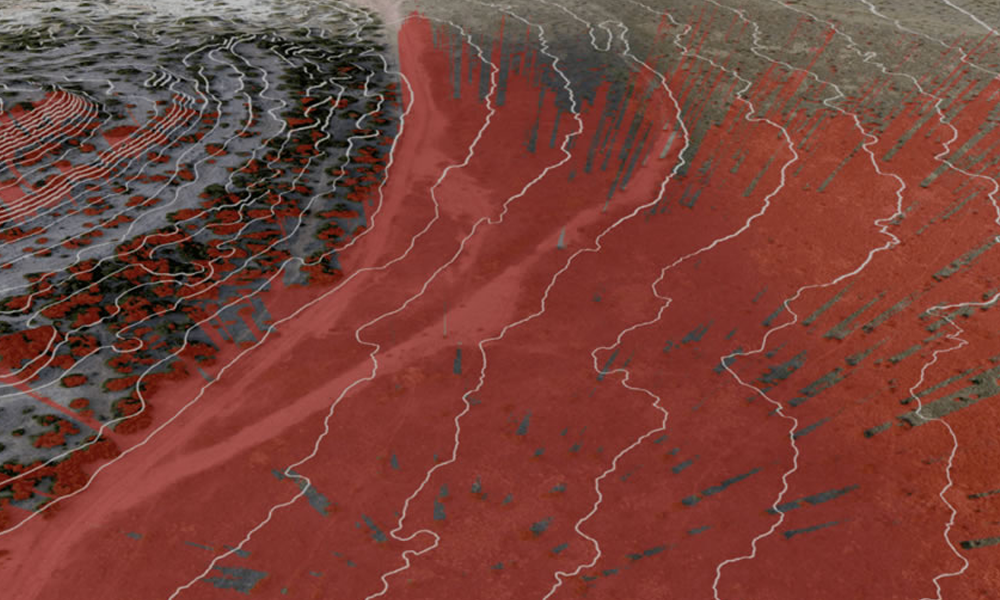
- Creating digital surface models (DSMs): By processing aerial imagery, specifically orthoimagery, which has been corrected for perspective distortions, companies can generate DSMs. These 3D models provide crucial data on ground elevation, which is used for:
- Anticipating potential obstacles: By analyzing surface elevation data, companies can identify and avoid hidden obstacles that may not be readily visible in 2D imagery, such as hidden ditches and changes in terrain. For urban areas, DSMs shed precise light on the heights of trees and rooflines, which is critical knowledge to determining how high drones must fly to get proper clearance.
- Determining landing zone suitability: Identifying safe landing zones is critical for drone delivery. DSMs help assess the incline and stability of potential landing zones, such as driveways and rooftops, ensuring safe and secure delivery of packages.
The future of doorstep deliveries by drone:
Despite the challenges, the rise of drone delivery is inevitable. As regulations evolve, technology advances, and public acceptance grows, we can expect to see new companies and new product delivery options on the horizon.
Up-to-date aerial imagery and digital elevation models will continue to play a vital role in shaping the future of efficient and safe drone delivery services. With these tools, companies can navigate the complexities of airspace, identify optimal routes, and ensure the safety of both their drones and the communities they serve.
Contributed by Tony Franco, Prius Intelli’s Vice President of Aerial Data Development.
Be sure to follow our page on LinkedIn to be first to know.


