

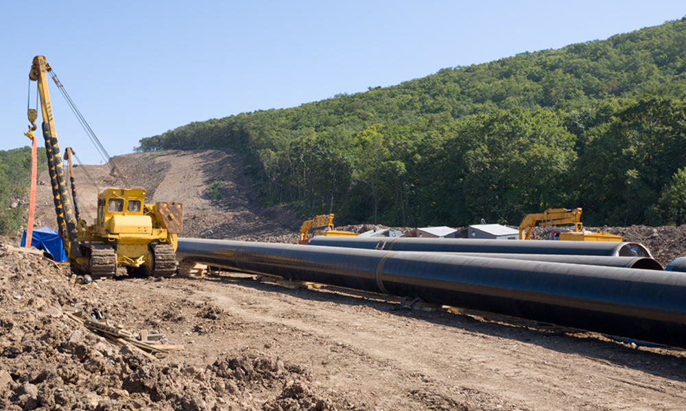
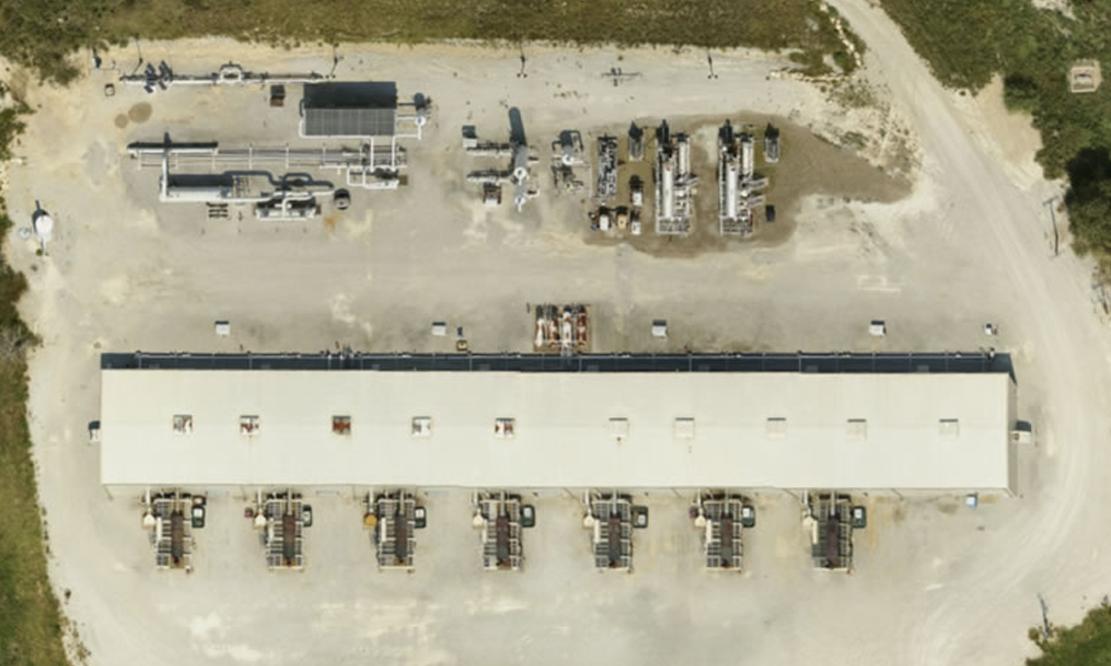
New Permian Pipeline Projects to Deliver More Oil & Gas to Market
With significant Permian Basin oil and gas production growth, comes the need for more pipeline projects to carry the product where it needs to go.

How Up to Date is Google Earth? Do You Really Know?
How Up to Date is Google Earth? Do You Really Know? Hint: Updates Are Sporadic. Prius Intelli is the Google Earth Alternative for Current Aerial Data.
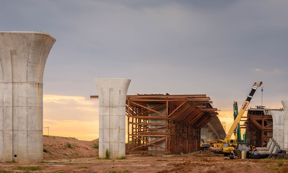
Using Aerial Imagery to Optimize Highway or Railway Expansion Route Planning
When it comes to highway or railway expansion route planning, having the right data and tools is essential. Aerial imagery helps planners make informed decisions.
Using Aerial Imagery to Overcome Labor Shortage 2023
Labor Shortage 2023 The oil and gas industry—probably including your company—is dealing with the same labor shortage in 2023 as everyone from fast food to health care. It’s frustrating[...]
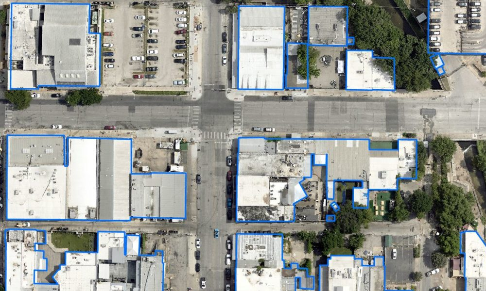
4 Planning Use Cases for Aerial Planimetric Mapping
Before starting a land-based project on any significant scale, it’s vital to know what objects are already on the landscape. Knowing the exact size, dimensions and placement of things[...]
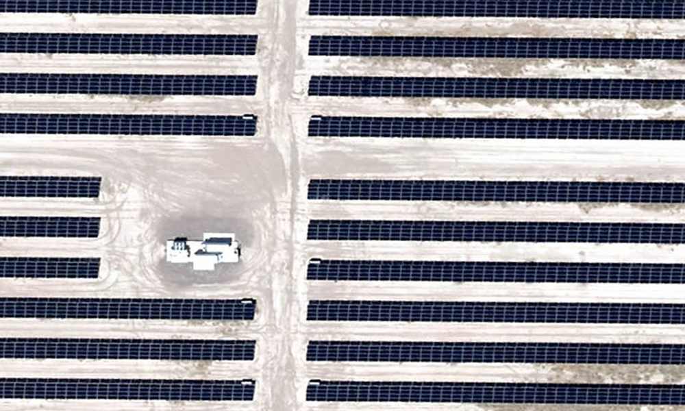
Aerial & GIS Data Speeds Greenfield Power Grid Planning
With power grid planning for renewable energy projects increasing across America, the need for power grid connections continues at a breakneck pace. Most wind and solar farms spread out[...]
Bringing Rural Aerial Imagery to Small, Texas Towns [Case Study]
Rural Aerial Imagery At Prius Intelli, we're passionate about making aerial imagery more accessible to more people. We are honored to partner with Brian Shirley and Third Coast Geospatial[...]

