

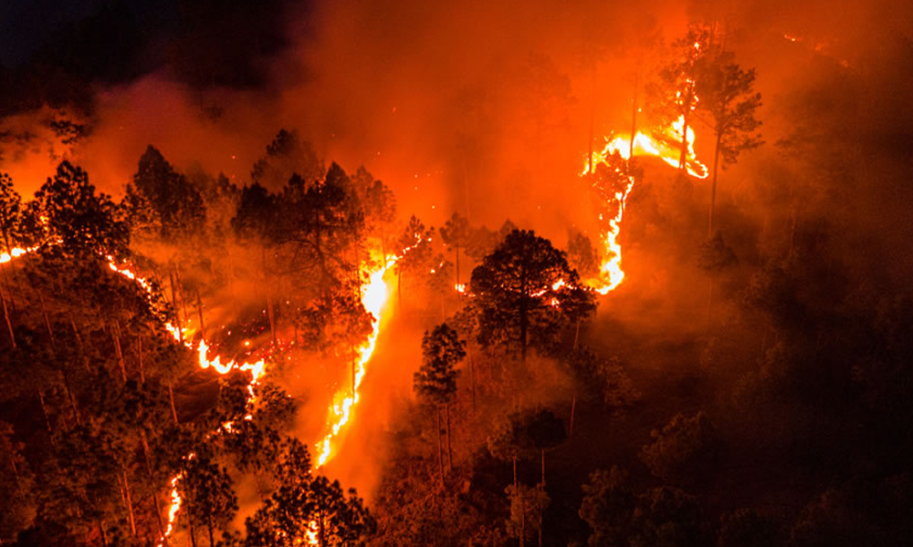
Wildfire Risk Maps: Fighting Wildfire Risk with Aerial Imagery & GIS Modeling
Wildfires in the United States can have a devastating impact on people, property, and the environment. Wildfire risk maps may hold the key to helping mitigate costly damage.
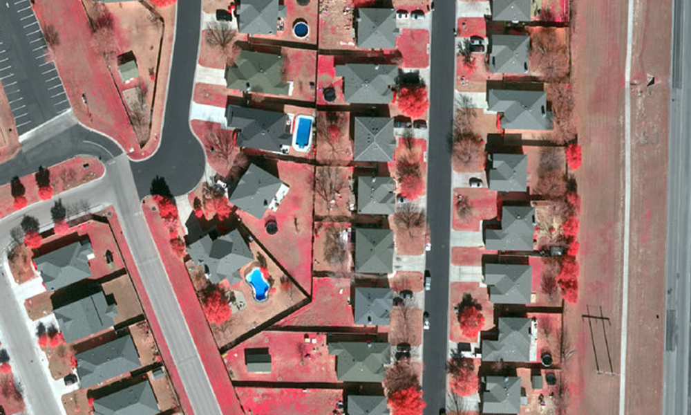
Prius Intelli expands its product offering with LiDAR and 4-band imagery
Texas-based Prius Intelli expands its product offering with LiDAR and 4-band imagery to its ever-growing portfolio of aerial imagery products and services.
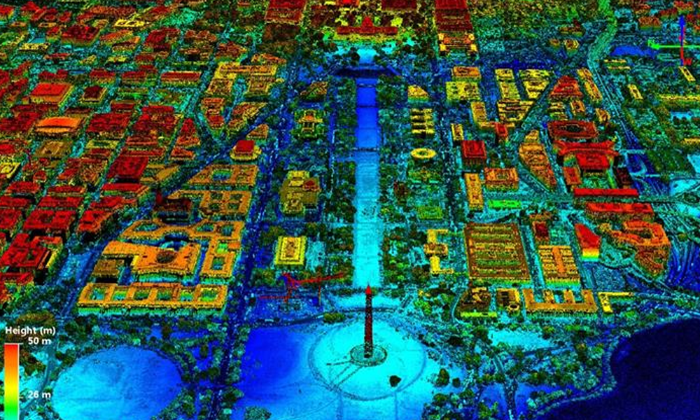
LiDAR Speeds Gas Migration Control Compared to Ground Inspection
Aerial photography with LiDAR helps speed gas migration control repair and cleanup, minimizing damage to the environment and danger to people.
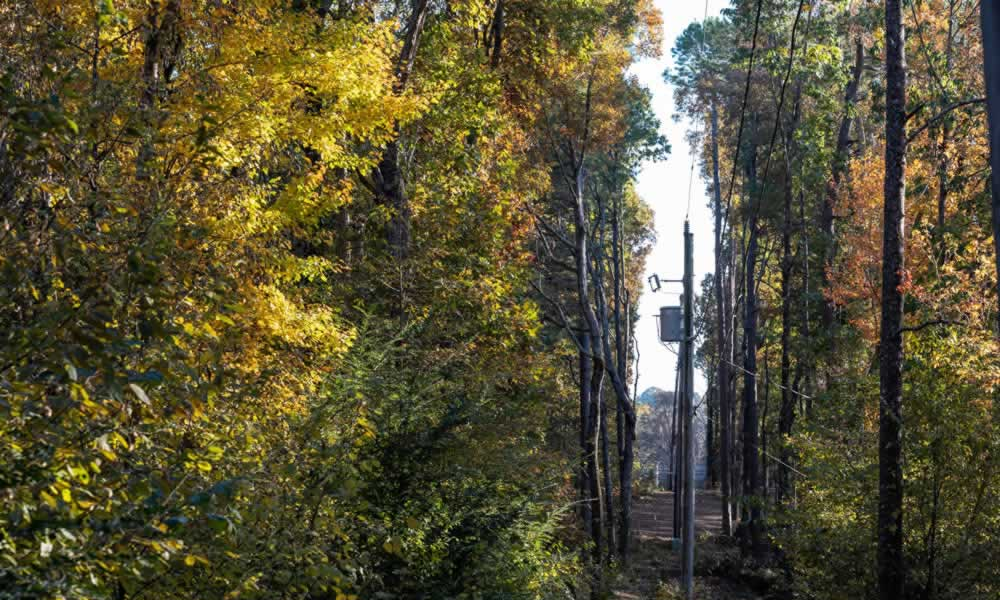
How Utility Vegetation Management Can Prevent Fines, Protect Lines
Utility vegetation management is critical maintenance for our power grid and with using aerial imagery, companies can drastically reduce inspection time.
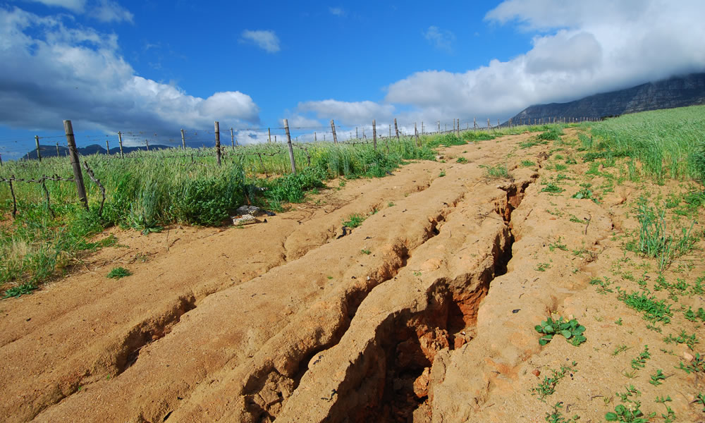
Geohazard Events & Managing the Risks
For the oil and natural gas industry, even smaller-in-scale geohazard events can create significant issues for pipelines and production facilities. Learning how to manage the risks is critical for your business.

The Secret Key to the Pipeline Planning Process? Compromise.
Can you relate? 1,400 individual tracks of land, hundreds of potential roadblocks. Read about an Austin-based pipeline company’s commitment to finding compromise on the road to the best route possible.
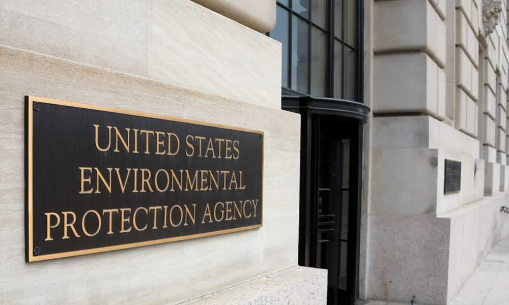
EPA Proposed Methane Rule Updates: Key Takeaways
Addressing climate change and improving air quality, the U. S. Environmental Protection Agency (EPA) held hearings on methane rules January 10-12, 2023, in an effort to “strengthen and expand”[...]

