Prius Intelli expands its product offering with LiDAR and 4-band imagery
Prius Intelli expands its product offering with LiDAR and 4-band imagery
Prius Intelli expands its product offering with LiDAR and 4-band imagery
Prius Intelli expands its product offering with LiDAR and 4-band imagery

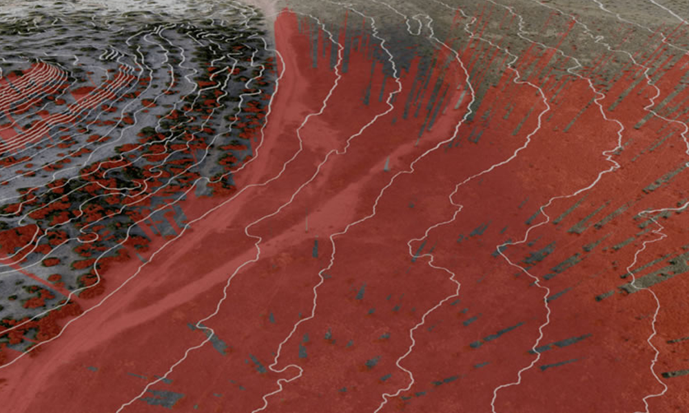
With the addition of LiDAR technology and 4-band imagery to our portfolio, we now provide aerial LiDAR data on demand, capturing up to 100 Points Per Square Meter (PPSM) to generate point clouds, Digital Surface Models, Digital Elevation Models (bare earth), and contours to 0.5 ft.
Precise LiDAR mapping of 3D features enhances elevation modeling, mapping, and surveying in your Areas of Interest and allows highly accurate terrain surface analysis, even in dense or inaccessible terrain. LiDAR imaging provides insights into ROW/centerlines, and its ability to detect change over time constitutes a major competitive advantage for pipeline owners managing HCA/MCA Class Location regulatory requirements.
4-Band Imagery
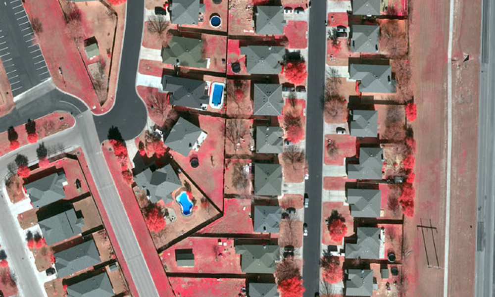
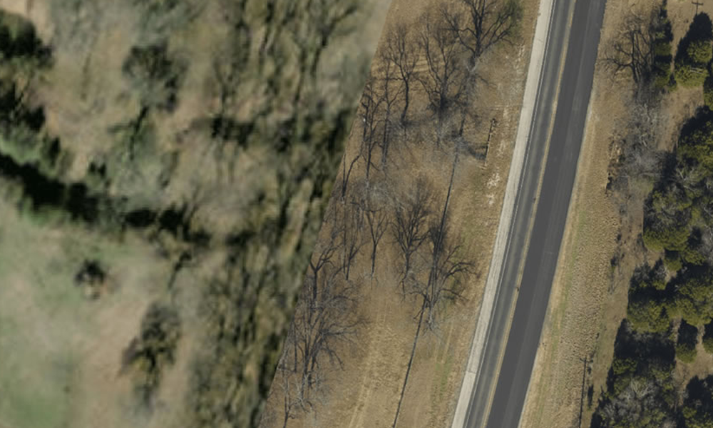
Four-band imagery, which combines the visual attributes of an aerial photograph with the spatial accuracy and reliability of a map to generate images accurate to 0.5 pixel vertically and 1 pixel horizontally, further enhances our capability. The high-quality 4-band aerial imagery is ideal for orthophotos that show accurate scale, terrain relief, and tilt as well as planimetric maps that show the exact size, dimensions, and placement of features such as roads, buildings, power lines, and pipelines. 4-Band imagery is useful in monitoring vegetation health, calculating NVDIs, and detecting surface water and surface water boundaries.
Our solutions deliver unmatched feature detection to simplify oil and gas migration assessment and geohazard mitigation, and our experts can produce exceptional 2D and 3D planimetric and topographic mapping products in a variety of GIS (ESRI etc.) and CAD formats.
With precise LiDAR and 4-band imagery, the Prius Intelli team delivers freshly collected on-demand data exactly where and when you need it.
Be sure and follow Prius Intelli on LinkedIn!


