

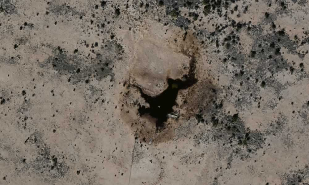
Ecological Remediation Accelerated Using GIS Services
After an ecological event, you need to remediate the area and limit the encroachment on the ecology. Learn how aerial imagery can help.
The Benefits of On-demand Aerial Imagery
How does a company effectively evaluate things without enough boots on the ground? Learn how on-demand aerial imagery changes the game.
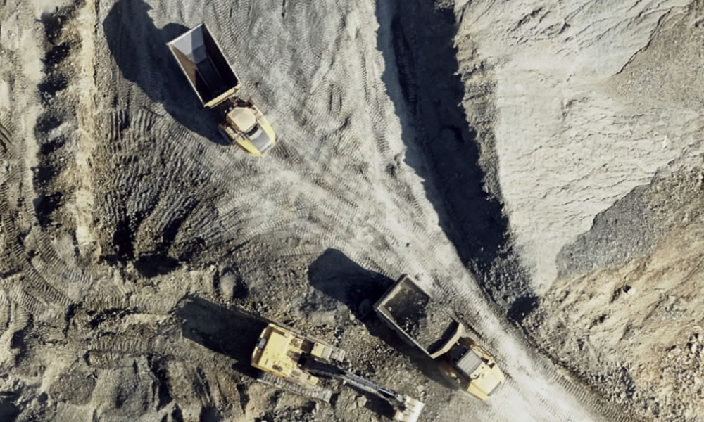
Aerial Imagery & GIS Can Improve Sand Mining & Other Surface Mining Operations
Operational efficiency is the key to success for sand mining and other surface mining operations. As costs rise, mining operations are digging for actionable information as much as they’re digging for product.
Quality GIS Services Give Insight to Surface Mining Operations
In today’s market, operational efficiency is the key to success for aggregate surface mining operations everywhere—whether it’s sand mining for oil and gas, caliche mining for roads in infrastructure[...]

How Geospatial Data can Improve your Speed to Market
Improve speed to market with geospatial data to take the lead in RFPs. Shorten time-consuming processes and submit proposals faster with geospatial data.

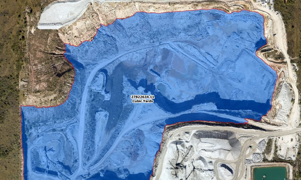
How Geospatial Data Modeling Sheds Light on Reality
Geospatial data modeling is continuing to play an essential role in establishing accurate models of reality for a wide variety of projects. The application of geospatial intelligence has and will continue[...]

Why Aerial Imagery Resolution & Freshness Matter
Important business decisions should never be based on inaccurate data. Having current, high-quality data is critical to any project’s success. With that same logic, it’s easy to see why[...]

