


The Secret Key to the Pipeline Planning Process? Compromise.
Can you relate? 1,400 individual tracks of land, hundreds of potential roadblocks. Read about an Austin-based pipeline company’s commitment to finding compromise on the road to the best route possible.

EPA Proposed Methane Rule Updates: Key Takeaways
Addressing climate change and improving air quality, the U. S. Environmental Protection Agency (EPA) held hearings on methane rules January 10-12, 2023, in an effort to “strengthen and expand”[...]
Using Aerial Imagery to Overcome Labor Shortage 2023
Labor Shortage 2023 The oil and gas industry—probably including your company—is dealing with the same labor shortage in 2023 as everyone from fast food to health care. It’s frustrating[...]
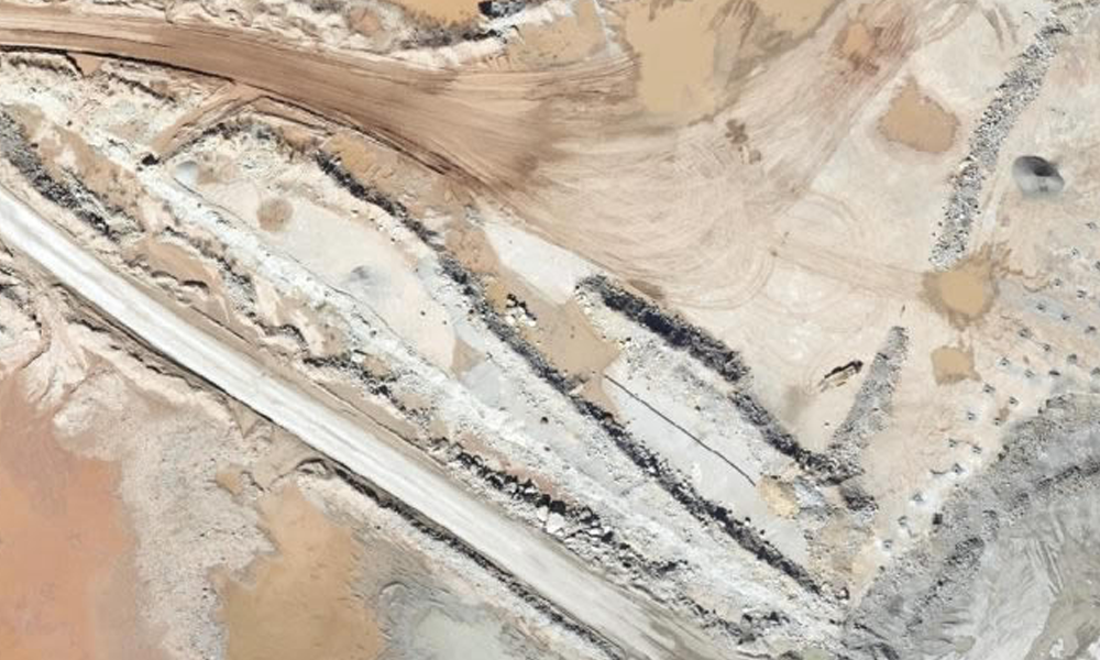
Updated Aerial & GIS Data Informs Pipeline Route Planning
Pipeline route planning of new infrastructure has its challenges, whether the line carries crude oil, natural gas, NGLs, refined products, or water of any sort. This is especially true[...]
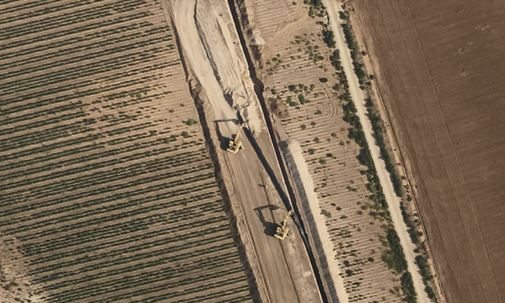
Aerial Construction Site Monitoring Can Help Prevent Costly Issues
During construction of any large project, from a single location such as a plant or development to wide-ranging jobs such as pipelines or other energy transmission systems, it’s vital[...]
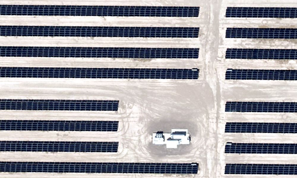
Commercial Solar Installation Improved With Aerial & GIS Data
Commercial solar installation can be vastly improved using aerial photography and GIS data - helping with site selection, construction, and maintenance.

Aerial Photography & GIS Data Smooth the Way for Utility Scale Solar Farm Planning
With any utility-scale greenfield project, everything rises and falls on the solar farm planning stage. Do it right and the project’s success is much more likely. A few mistakes[...]

