LiDAR vs Photogrammetry in Aerial Imagery
LiDAR vs Photogrammetry in Aerial Imagery
LiDAR vs Photogrammetry in Aerial Imagery
LiDAR vs Photogrammetry in Aerial Imagery

So, you’ve decided to use aerial imagery for planning your project. You know it captures wide areas quickly, efficiently and in the amount of detail you need. And that’s true, but there is more than one kind of aerial imagery, and choosing the right one will get you the information you need at the right cost. Your provider may ask you to choose—LiDAR vs. photogrammetry.
Let’s start by describing each type of photography and how it works.
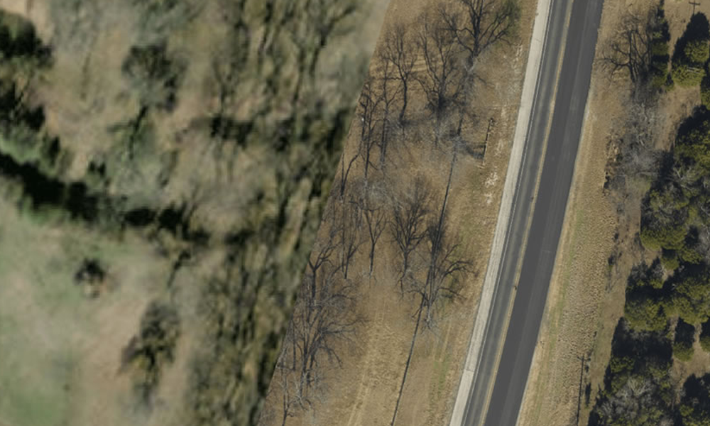
Photogrammetry: This process takes a series of photographs across the required area. It uses the photos’ elevation and GIS data to compare individual images, determining how their angles and how they overlap. From there it stitches them together in a mosaic. All this together helps identify ground objects, their location relative to each other, and their height.
It relies on existing light, which means that cloud cover, fog, dust and time of day can affect its visibility.
Like a standard camera, photogrammetry also gives the viewer a literal image of objects on the ground, a sort of bird’s-eye view.
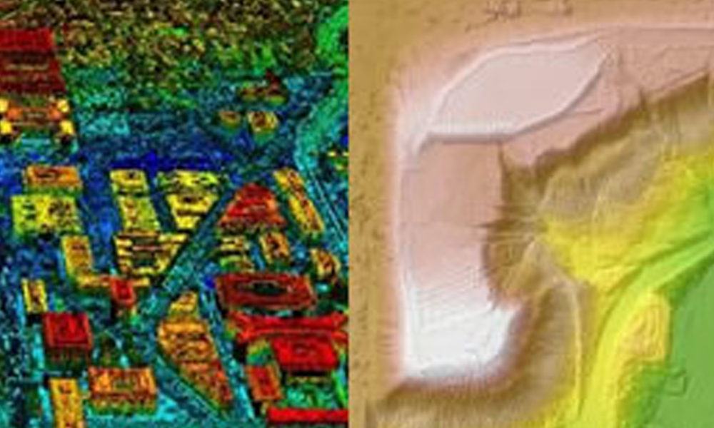
LiDAR: Standing for Light Detection and Ranging, LiDAR sends out laser pulses then uses a sensor to collect the reflected light. That lets it measure distances and collect data about objects. Because LiDAR sends out its own light, it is not affected by ambient light, sun angles or other changes in light amounts or patterns. And it can penetrate more deeply through most trees and shrubs than photogrammetry can.
Unlike photogrammetry, LiDAR technology does not create a standard visual image. Instead, it creates a LiDAR point cloud, which is used to make highly accurate analysis of elements of interest such as vegetation height, snowpack, and soil depth.
Industrial Uses for Aerial Imagery
Construction planning: Wide ranging jobs like pipelines, roads, power grids, drainage, conservation, and others gain an obvious benefit from aerial photography of all types. Fixed wing photography can cover hundreds of miles in a few hours, much faster and more completely than humans.
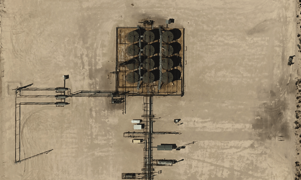
Also, single-location zones such as drill pads, processing plants, office warehouses, retail, housing subdivisions and more get fast and accurate data from the air. Aerial photography in these areas may be done by manned or drone aircraft.
Project oversight: In addition to planning, aerial data can be used to track progress during the construction phase. Either kind of photography can be distributed to crews onsite and to engineering or management locations around the globe, so everyone is kept updated. Distribution like this improves collaboration among departments.
Regulatory compliance: For pipelines carrying oil, natural gas or refined products—anything that may be poisonous or flammable if there is a leak—it is important to monitor any growth in nearby structures. The Pipeline and Hazardous Materials Safety Administration (PHMSA) rates pipeline regions by their proximity to structures that are intended for human occupancy such as hospitals, schools, houses, and even mobile man camps. As you can imagine, they require more stringent monitoring and control in areas with people and businesses. For this use, photogrammetry is usually best. It gives clear views of what kinds of structures are present along ROWs, and their exact distance from the pipeline in question.
- Read how Brazos Midstream outmaneuvered a manpower crunch using up-to-date aerial imagery to complete their class location studies. Download our latest project brief here.
LiDAR vs Photogrammetry – The Differences
LiDAR is more costly than photogrammetry, and it does not generate a visually compatible image, so its main use is in specific circumstances such as in deep vegetation, or where fine accuracy is critical.
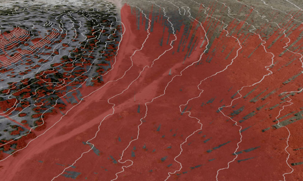
For surveys with vegetation coverage ranging from 60% to 90%, LiDAR offers better vertical accuracy than photogrammetry. That makes it ideal in forestry and for historic preservation in wooded areas. It can be the right solution for mapping watersheds, runoff patterns and drainage. If flooding or washouts have become an issue, it can inform decisions about remedial efforts.
LiDAR is also useful in gas migration detection in pipelines. While nothing can “see” natural gas, LiDAR can quickly detect dying or unhealthy vegetation along a ROW, which can indicate the presence of natural gas. And if gas is leaking under water, LiDAR can find the bubbles, even when vegetation is present.
An oil leak can be visible to all forms of aerial photography, but LiDAR’s ability to see through most vegetation allows it to provide accurate and detailed slope data in wooded areas. This data can reveal the likely direction of flow for any oil that may be leaking out. Click HERE to learn more about gas migration tracking.
With areas of 60% coverage or less, photogrammetry can be the more affordable option. This is especially true for identifying objects on the ground. LiDAR does give great detail in elevation data, so when extreme accuracy is paramount, LiDAR may be necessary. But because it does not provide an actual photo, it is harder to identify what objects are in the picture.
Quick Guide
Photogrammetry Is Best For:
- Basic maps or models that can be interpreted by the eye
- Views that need accurate elevation and placement where there is minimal vegetation
- Mapping that requires clear identification of types of structures, topographical features and plants
LiDAR Is Best For:
- Mapping areas that are complex, inaccessible and dense with vegetation
- Getting fine details on narrow items such as power lines, roof edges or fences
- Situations requiring precise numbers and locations
- Gas migration mapping
It has been described this way: LiDAR produces an elevation set, while photogrammetry gets elevation plus visuals.
LiDAR vs Photogrammetry – And The Winner Is:
You, the client. In short, aerial photography in general is the most efficient and most accurate path to planning and tracking, especially over large areas. It can do the survey work of dozens of people and hundreds of person-hours—critical services in the era of short staffing and high overhead.
Aerial data from photogrammetry, LiDAR, or Four-Band can be quickly delivered to and analyzed by everyone who needs it, no matter their location, across time zones and continents. In the age of data, this kind of immediacy and availability is critical to efficiently making the most informed decisions.


