Hydrological Modeling Case Study: Trinity Works for The Circle T Ranch
Hydrological Modeling Case Study: Trinity Works for The Circle T Ranch
Hydrological Modeling Case Study: Trinity Works for The Circle T Ranch
Hydrological Modeling Case Study: Trinity Works for The Circle T Ranch

The Situation:
The Circle T Ranch is a privately owned ranch near Fort Worth, Texas. Founded in 1952, the ranch in its current form spans hundreds of acres and supports livestock and recreational activities. The owners of the Circle T Ranch wanted to convert a portion of the ranch into a recreation space and connected with Trinity Works, a local development company, to bring these development plans to action. Discover how Trinity Works used hydrological modeling to solve the drainage issues in this case study.
The Problem:
During development of the recreation space, drainage became a critical issue. Trinity Works identified sheet flow coming off a hill, but had to think outside the box to determine how to direct the flow. The GIS data source they typically used for base maps could not provide the detail and accuracy they needed – but they worried that higher quality data would be cost-prohibitive. They needed a partner to help them bridge the gap between quality, accuracy, and cost.
The Approach:
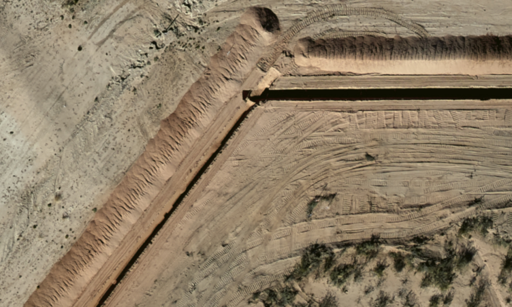
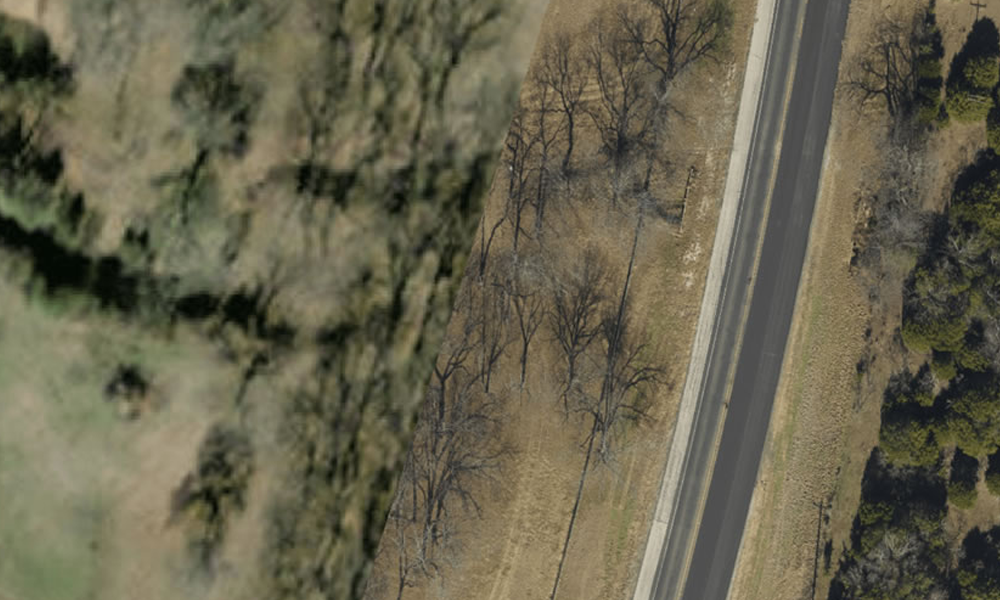
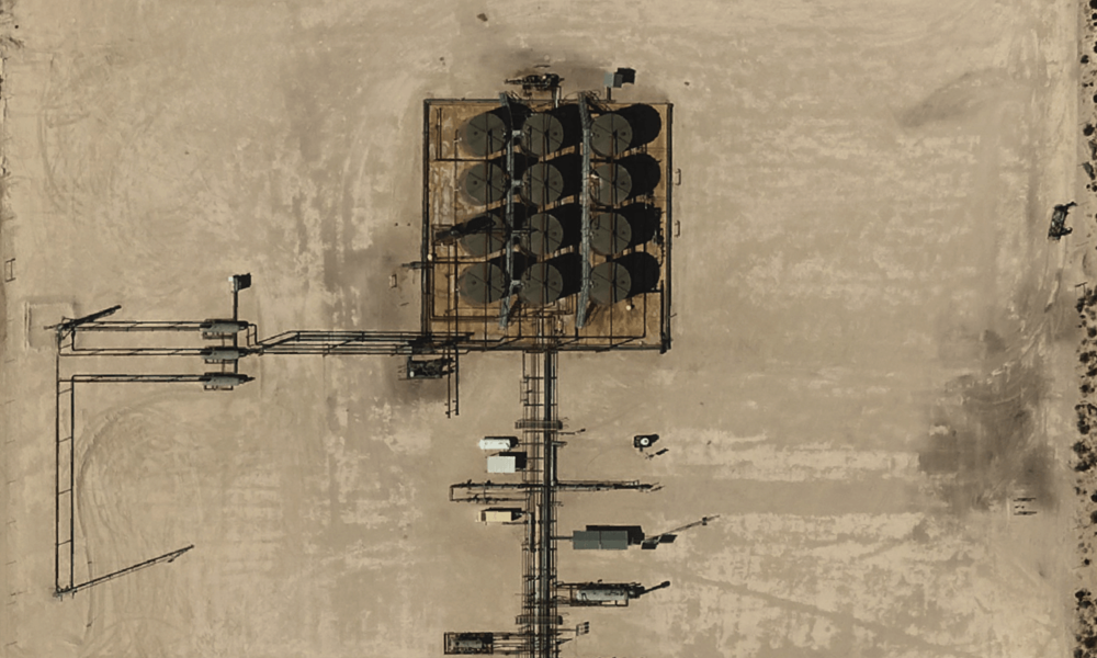
On behalf of the Circle T Ranch, Trinity Works asked Prius Intelli to provide high-quality aerial imagery and elevation models of the ranch. Using our manned aircraft, our team developed custom high-resolution images of the ranch. Then, our experts delivered the processed data that Trinity Works could easily and effortlessly use in their workflows.
Hydrological Modeling
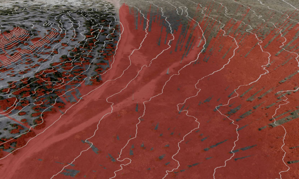
More specifically, Prius Intelli delivered aerial imagery, elevation, and hydrological modeling of the entire ranch at a 2.5 cm resolution that the Trinity Works team was able to use ongoing. Using photogrammetry and automated intelligence, Prius Intelli was able to build digital surface and elevation models from the orthoimagery captured over the project area. Because water always flows to the lowest point due to gravity, our specialists were able to build hydrology models identifying how the water flows and identifying the stream order as it branched over the land. At such a high resolution, the accuracy of the models produced was nearly infallible and produced strong results.
The Results:
Thanks to the experts at Prius Intelli, Trinity Works gained new insight into a 30-year project. This allowed Trinity Works to remove barriers to completing their project and decrease their speed to market. The stream network, hydrological modeling, and slope model data helped them quickly identify the source of the drainage issues on the ranch, allowing them to select the best location to construct drainage pipes to redirect the water flow away from the project area.
While they initially had concerns about the costs of custom high-resolution imagery, this project showed them how valuable, yet affordable custom data could be. Isaac Manning Jr. of Trinity Works stated, “I wish we got the imagery sooner in the project lifespan because we had drainage issues early in the project. If we would have had the data earlier, it would have saved us a lot of time.” As for the Circle T Ranch, they were finally able to bring their vision of a custom recreation area to fruition.


