How Geospatial Data can Improve your Speed to Market
How Geospatial Data can Improve your Speed to Market
How Geospatial Data can Improve your Speed to Market
How Geospatial Data can Improve your Speed to Market

Improve Speed to Market
When RFPs go live, it’s a race for industry players to submit their proposals to the potential client. Often, the project can go to the service provider, who is one of the first few to turn in their RFP since their timing is often seen as a reflection of their ability to stay on time and budget. But RFPs can be messy, time-consuming, and come at short notice. How can your business gain a competitive edge and improve your speed to market? Various industries use geospatial data for planning, analysis, and decision-making – and it’s just what you need to ace your next RFP. Why? Let’s discuss.
Base decisions on the best available data.
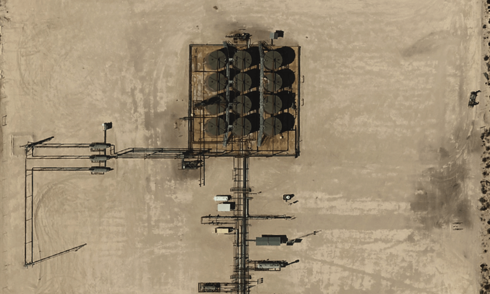
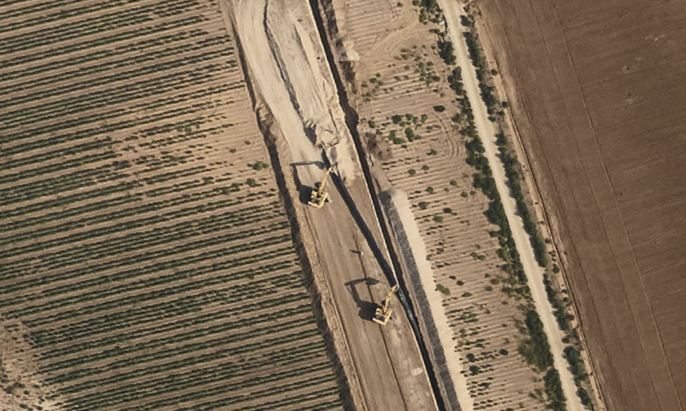
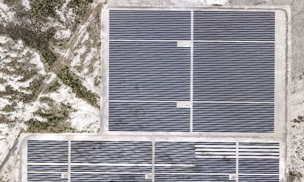
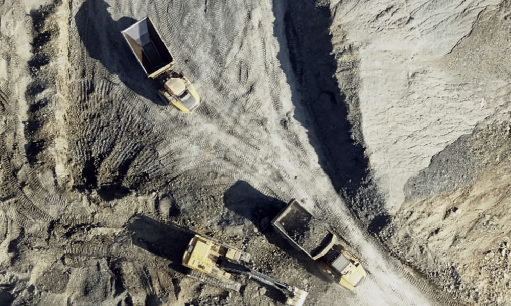
Most of your competitors are using outdated, low resolution publicly available free, satellite maps and data, leaving them in the position of having to make educated guesses based on outdated, site conditions that could cause issues down the line, from encroachment issues to unexpected encumbrances. On the other hand, geospatial data from Prius Intelli can provide current insights into your area of interest instead of antiquated, irrelevant information. You’ll have access to the best available information on site conditions to create your designs and plans. When choosing between a proposal based on guesswork or a proposal based created with the certainty of solid, traceable data, we know who is coming out on top.
Get flexibility with the Cloud.
Unlike physical maps, teams can store & share geospatial data easily in the Cloud. This methodology provides your entire team with the easy access they need the most. At Prius Intelli, we deliver data through WMTS/WMS or slippy map formats and host the data securely on our in-house servers. And you get easy access through the Cloud. That saves you space on your network drives and enables fast data rendering. With flexible, secure storing, you can rest assured your data is safe and ready for action. No more looking through old filing cabinets for maps and notes when all the information you need is at your fingertips.
Analyze faster and more accurately.
Geospatial data is more than just maps. It provides a detailed analysis of geographic areas. For example, GIS maps can feature up-to-date data on features like streets, waterways, water run-off, and more. Elevation models are another format you can use to shed light on a project. These can provide better context for your plans. Furthermore, because a dashboard or platform like ESRI can read geospatial data, you can analyze it quickly and efficiently. And when it comes to RFPs, we know that speed and efficiency are crucial to developing a winning proposal.
Offering up-to-date, flexible, accurate analysis and enhanced geospatial data should be the backbone of your business. It enables you to gain a deeper insight into your operations, add value and increase productivity. Prius Intelli delivers high-quality aerial imagery and GIS services that work for your team and your budget when you need it. Together, we can help you get the data you need to secure your next RFP and set your project up for success.


