

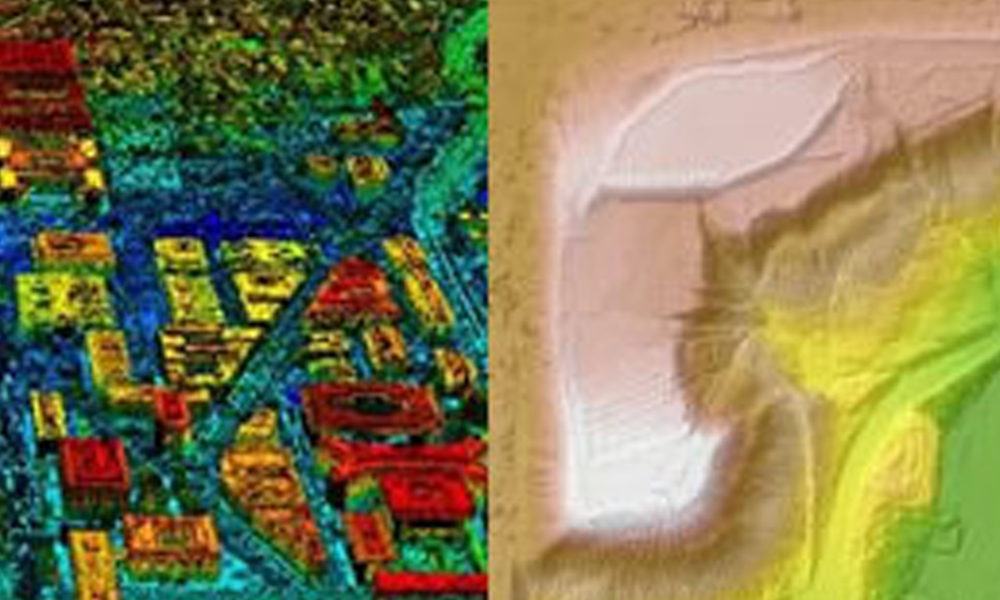
LiDAR vs Photogrammetry in Aerial Imagery
LiDAR vs photogrammetry in aerial imagery? In this article, we will discuss how to choose the type of imagery for your project to get the right data.
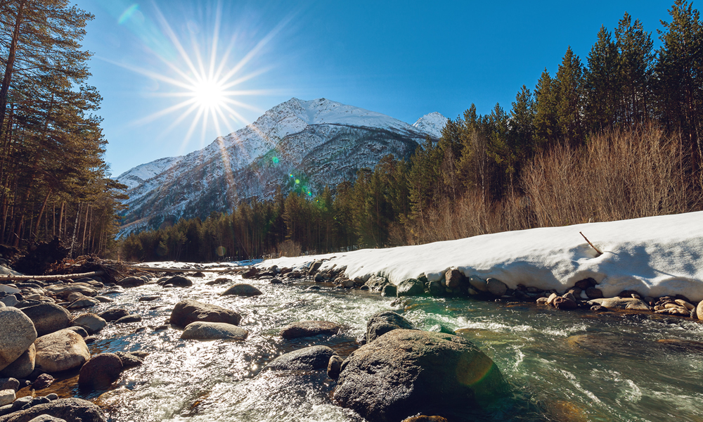
Snowmelt Runoff Modeling Using LiDAR Snow-Depth Calculations
Snowmelt runoff modeling (SRM) predicts the amount and timing of water that will flow down mountainsides as temperatures rise and snow melts. Understanding snowmelt is a major component to water resource management and holds the key to helping mitigate potential harm to people and property. In this article we explore how LiDAR, a remote sensing technology, can provide certain precise data needed to calculate effective SRMs.
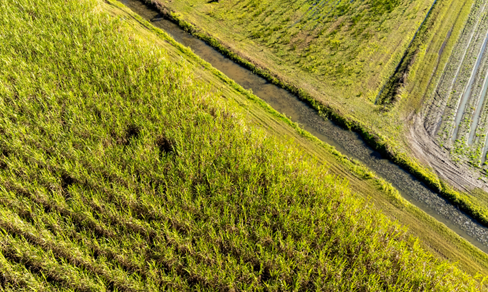
Change Detection: A “Practicable Step” for Monitoring Changing Ground Conditions?
Change detection technology has revolutionized how many industries monitor and analyze changes across their Areas of Interest. Here we explore how GIS change detection may be used to protect ROWs against geohazards and depth of cover issues.
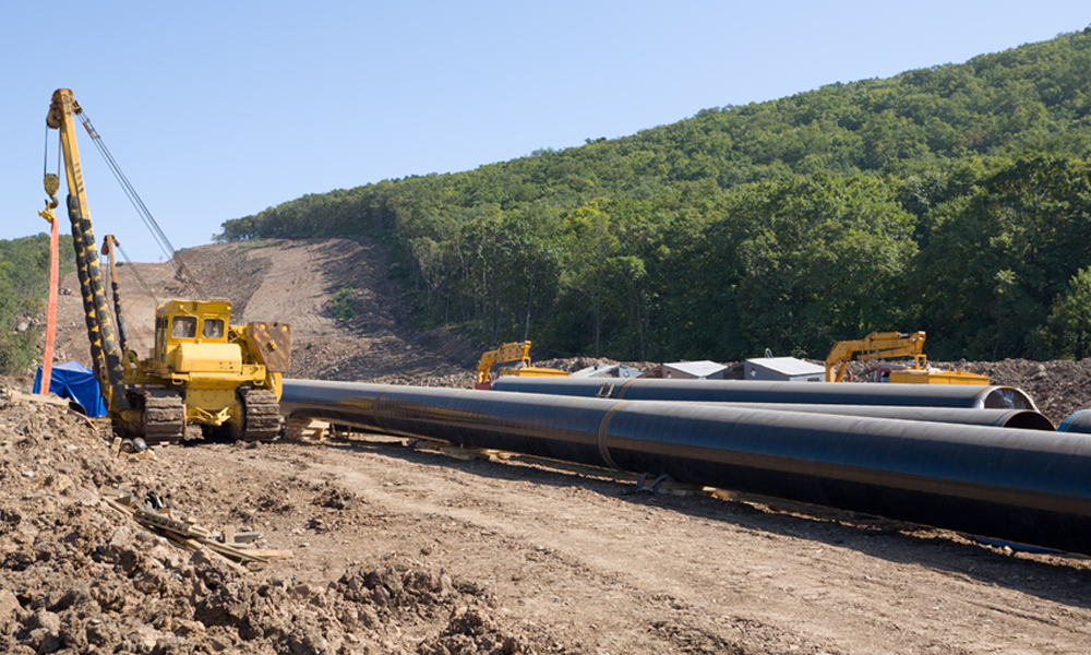
New Permian Pipeline Projects to Deliver More Oil & Gas to Market
With significant Permian Basin oil and gas production growth, comes the need for more pipeline projects to carry the product where it needs to go.

How Up to Date is Google Earth? Do You Really Know?
How Up to Date is Google Earth? Do You Really Know? Hint: Updates Are Sporadic. Prius Intelli is the Google Earth Alternative for Current Aerial Data.
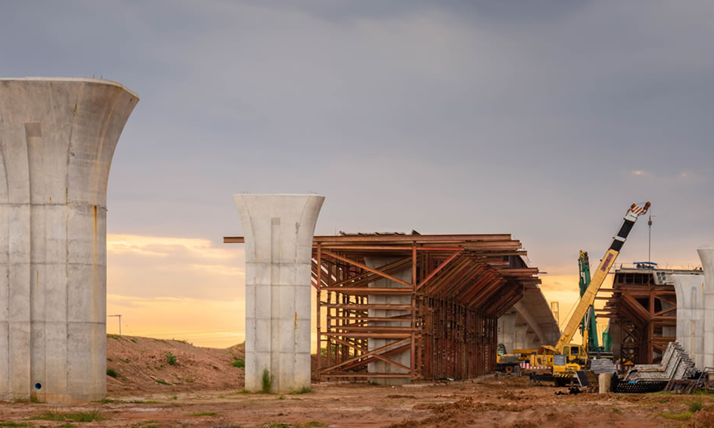
Using Aerial Imagery to Optimize Highway or Railway Expansion Route Planning
When it comes to highway or railway expansion route planning, having the right data and tools is essential. Aerial imagery helps planners make informed decisions.

Exploring the Differences Between an Orthophoto and an Aerial Photo
At a glance, the difference between an orthophoto and an aerial photo may seem insignificant but for pipeline or utility planning, an orthophoto is needed.

