

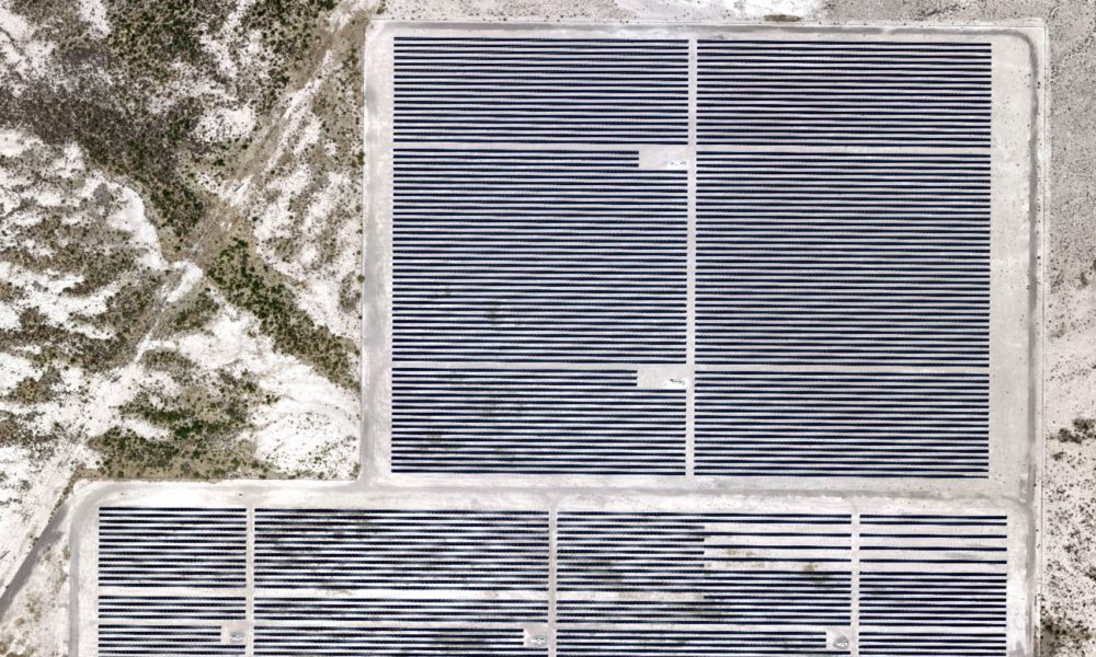
GIS Imagery Helps Wind, Solar Farms Avoid Environmental and Endangered Species Pitfalls
Industries across the board are recognizing the usefulness of aerial imagery and GIS data in site selection. Slope, elevation, runoff, vegetation, proximity to roads and other infrastructure, population centers[...]
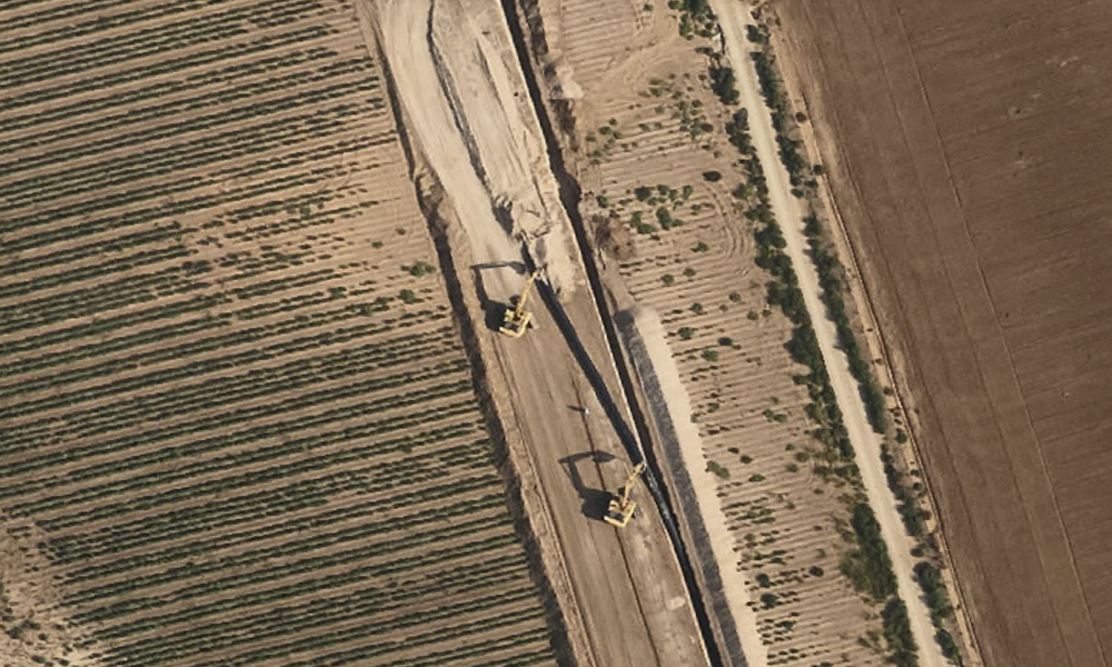
Updated Aerial & GIS Data Informs Pipeline Route Planning
Pipeline route planning of new infrastructure has its challenges, whether the line carries crude oil, natural gas, NGLs, refined products, or water of any sort. This is especially true[...]
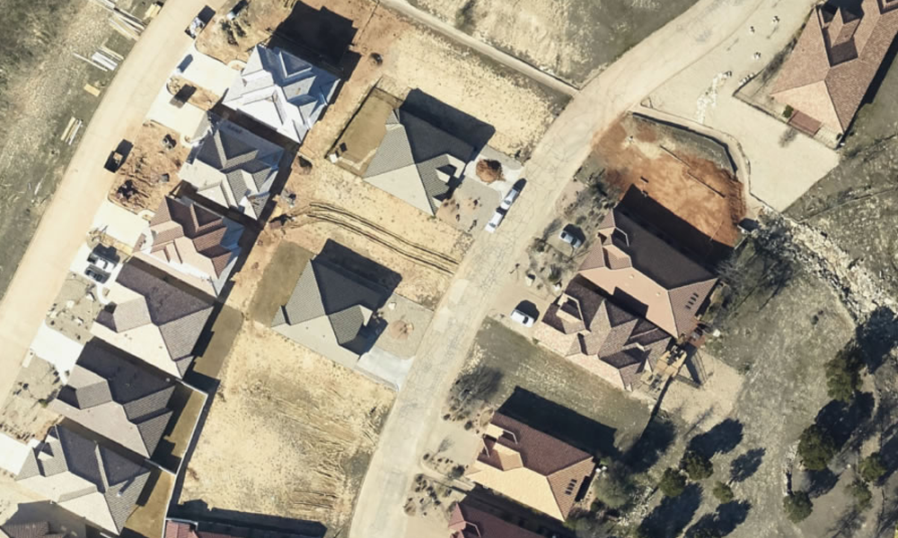
Aerial Construction Site Monitoring Can Help Prevent Costly Issues
During construction of any large project, from a single location such as a plant or development to wide-ranging jobs such as pipelines or other energy transmission systems, it’s vital[...]
7 Best Ways to Use Orthoimagery
While aerial photography provides bird’s-eye images of the surface, orthoimagery takes it a step further by combining it with the benefits of enhanced maps. From pipeline development to real[...]
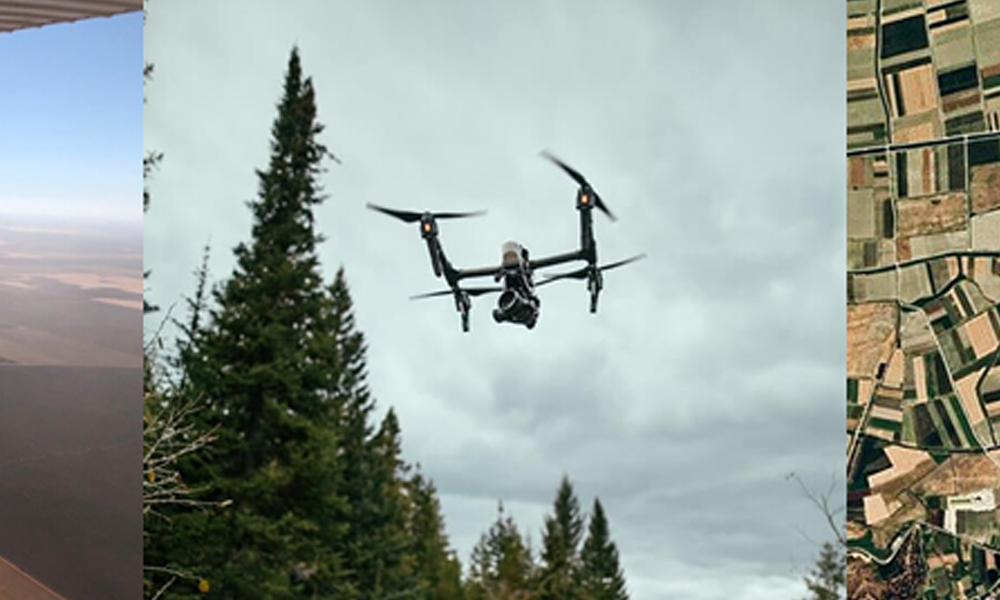
How and When to Use Manned Aircraft Aerial Imagery, Drone or Satellite
Vertical imagery used for GIS purposes is mostly done from one of three vehicles: manned aircraft, UAVs (drones) and satellites. Although each has its unique value and purpose, the precision of data that can be captured and the costs associated should be considered when deciding your needs. But, it's not necessarily an either/or situation.

