

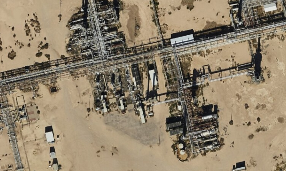
Aerial Imagery for the Oil Field to Increase Efficiency
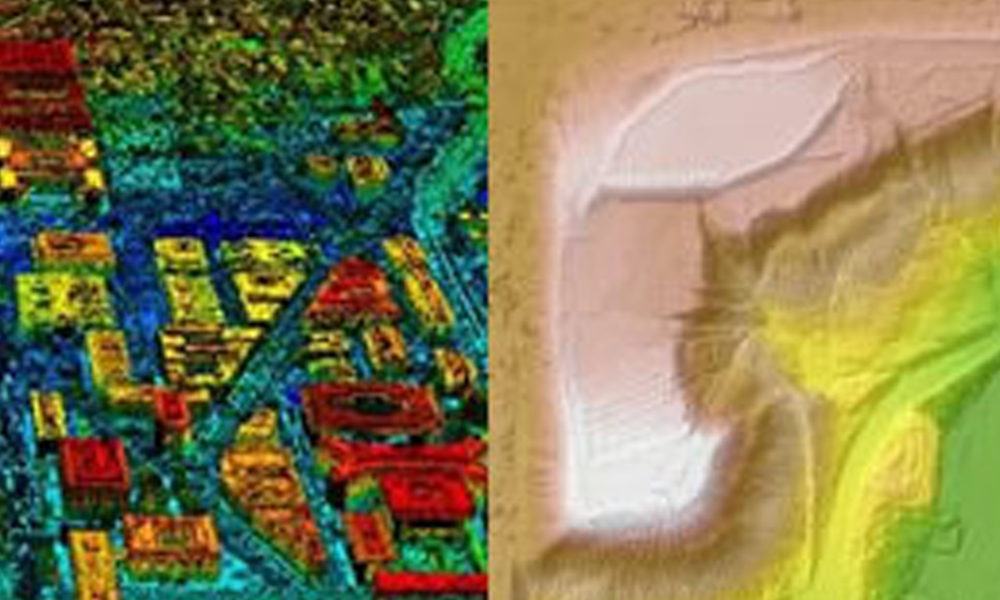
Learn how Digital Surface Models (DSMs) are created and how they empower decision-making in various industries. Explore a real-life case study of a renewable energy company using DSMs and high-resolution aerial imagery.
Ethan Sparks, Vice President of Solutions, featured in The Journal of Petroleum Technology
Learn how Digital Surface Models (DSMs) are created and how they empower decision-making in various industries. Explore a real-life case study of a renewable energy company using DSMs and high-resolution aerial imagery.
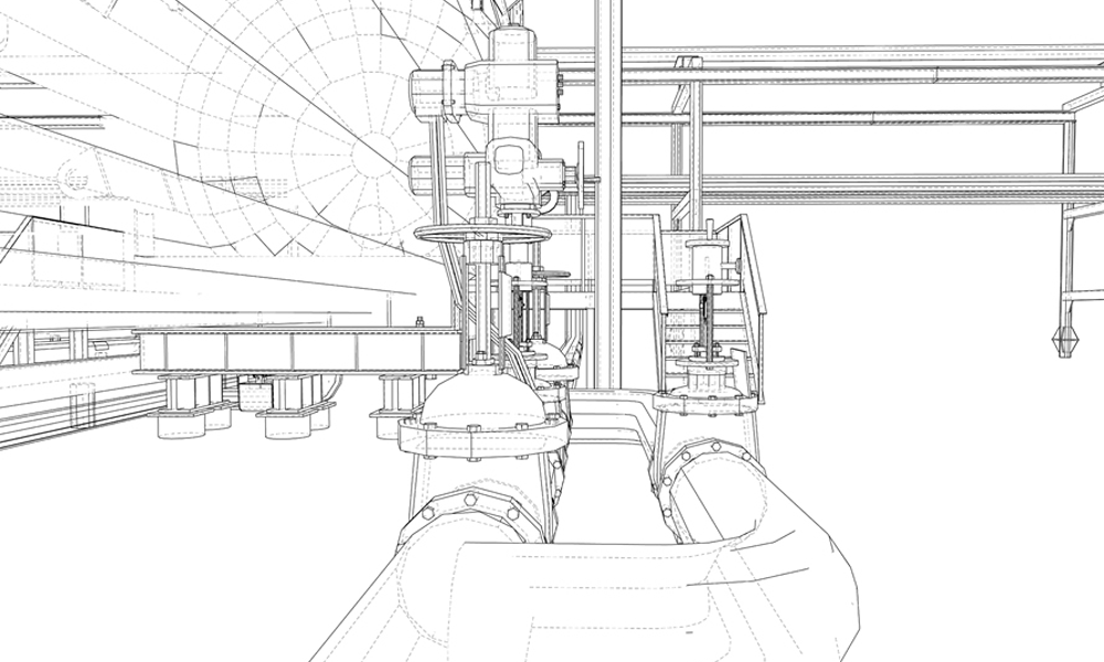
How GIS with Pipeline Digital Twins Inform Present & Future
Pipeline digital twins are being used by forward-thinking midstream oil & gas companies for simulation, integration, testing, monitoring, & maintenance.
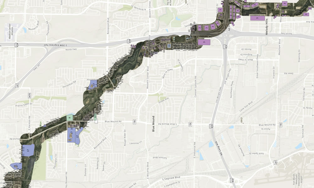
Aerial Surveys & Structure ID: Easing the Burden of PHMSA Compliance
Identifying structures for pipeline class location and HCA and MCA identification is a labor-intensive process that has been historically undertaken by ground crews.

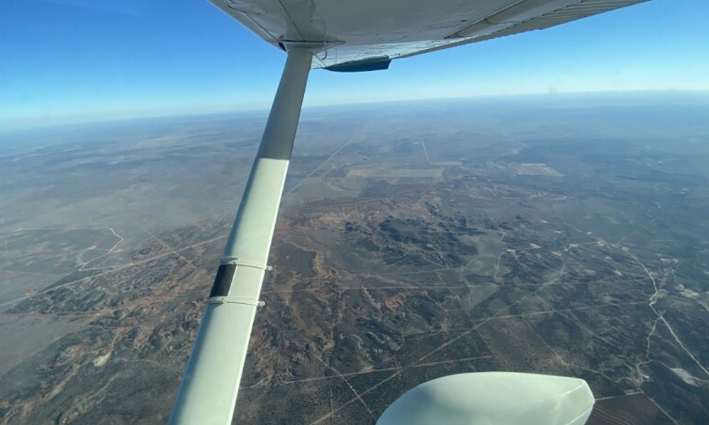
Remote Sensing Technology in the Oilfield: Exploring Aerial Options
Remote sensing technology gathers information about an object or area from a distance. It involves the use of sensors mounted on drones, aircraft, or satellites to collect electromagnetic radiation emitted or reflected by objects on Earth's surface.
LiDAR vs Photogrammetry in Aerial Imagery
LiDAR vs photogrammetry in aerial imagery? In this article, we will discuss how to choose the type of imagery for your project to get the right data.

Snowmelt Runoff Modeling Using LiDAR Snow-Depth Calculations
Snowmelt runoff modeling (SRM) predicts the amount and timing of water that will flow down mountainsides as temperatures rise and snow melts. Understanding snowmelt is a major component to water resource management and holds the key to helping mitigate potential harm to people and property. In this article we explore how LiDAR, a remote sensing technology, can provide certain precise data needed to calculate effective SRMs.

