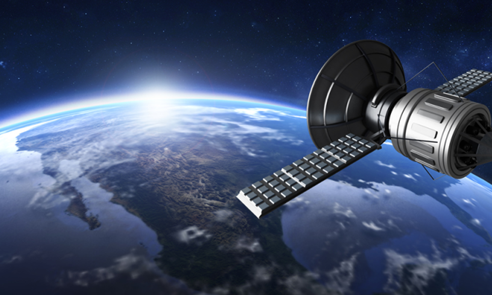
Taking Flight: How Fixed-Wing Aerial Imagery & DSMs Pave the Way for Safe Drone Delivery
Uncover the fascinating world of drone delivery and the companies at the forefront. Learn how high-tech tools like aerial imagery and digital surface models shape the future of direct delivery.
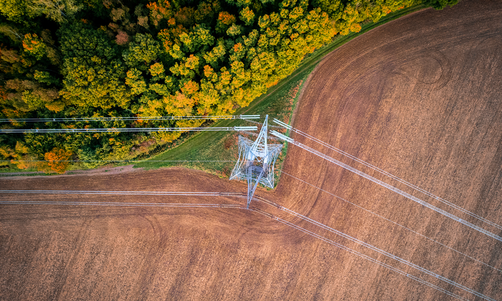
High-Resolution Satellite Imagery: Is It Good Enough for Pipeline Route Planning?
Discover the challenges of using high-resolution satellite imagery for pipeline route planning and explore the advantages of Prius Intelli's ultra-high resolution aerial imagery solution.
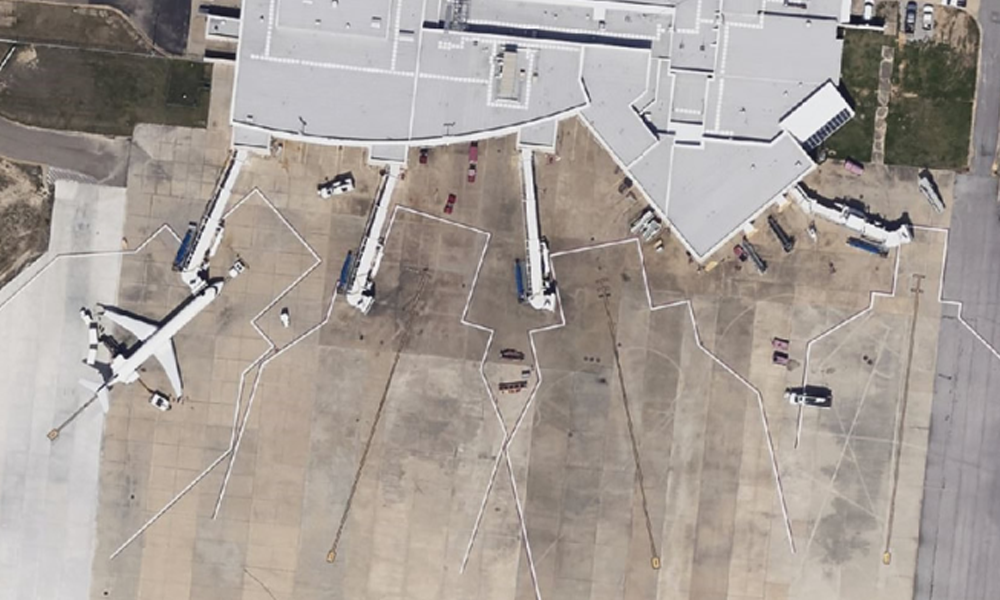
Elevating Airport Planning with High-Resolution Aerial Imagery
Airports, whether large international hubs or smaller regional facilities, face the common challenge of efficiently managing their complex infrastructure. From monitoring construction projects to planning future developments, having access[...]
GIS Change Detection Helps Utilities Identify Potential Problems
GIS change detection is a fundamental application of aerial imagery & remote sensing which involves the comparison of multiple raster datasets to identify environmental changes.
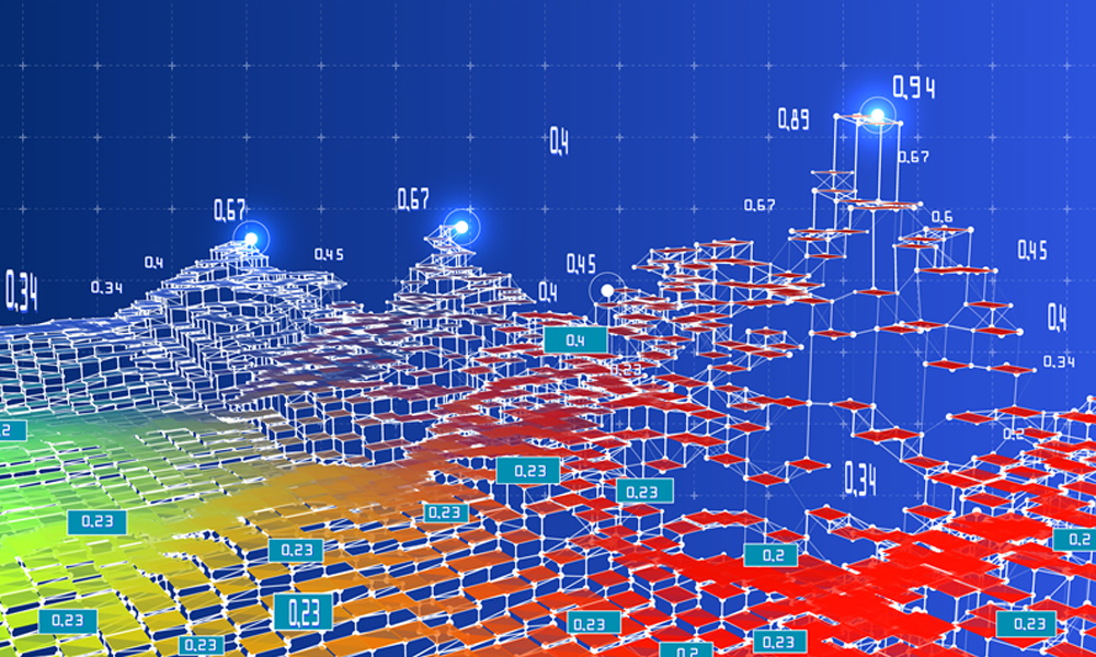
AI for GIS: Unlocking New Possibilities in Geospatial Analysis
AI for GIS (Geographic Information Systems), along with ML (Machine Learning) & DL (Deep Learning) have propelled us into a new era of geospatial analysis.
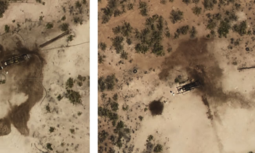
Oil Spills in the Back 40? Why Ranchers Increasingly Seek Environmental Site Assessment
Environmental site assessment (ESA) using aerial imagery is essential for ranches covering hundreds or even thousands of acres while searching for oil spills.


