

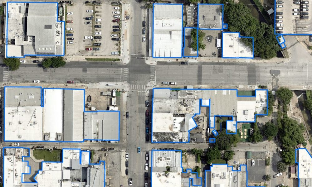
4 Planning Use Cases for Aerial Planimetric Mapping
Before starting a land-based project on any significant scale, it’s vital to know what objects are already on the landscape. Knowing the exact size, dimensions and placement of things[...]
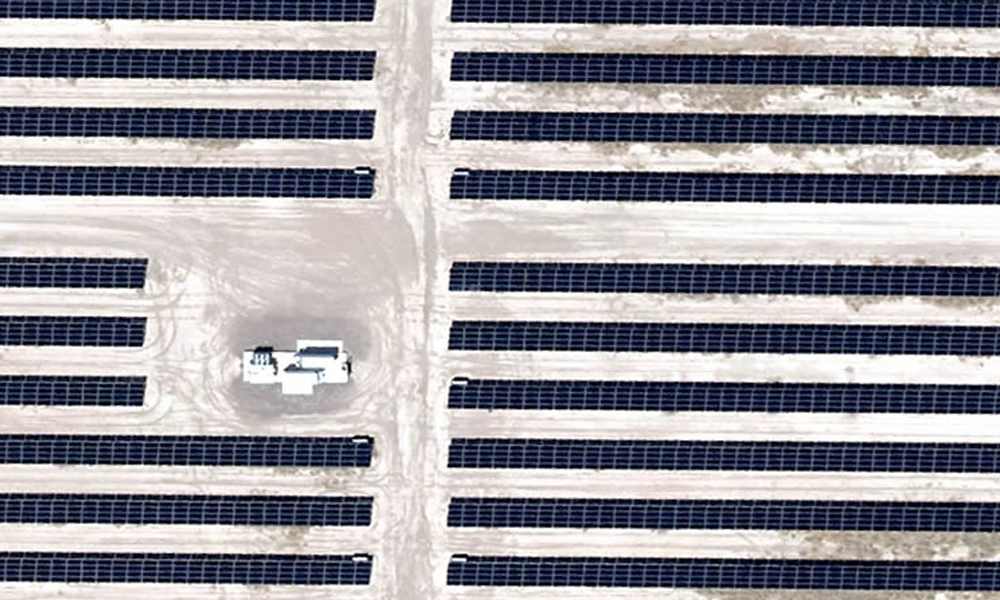
Aerial & GIS Data Speeds Greenfield Power Grid Planning
With power grid planning for renewable energy projects increasing across America, the need for power grid connections continues at a breakneck pace. Most wind and solar farms spread out[...]
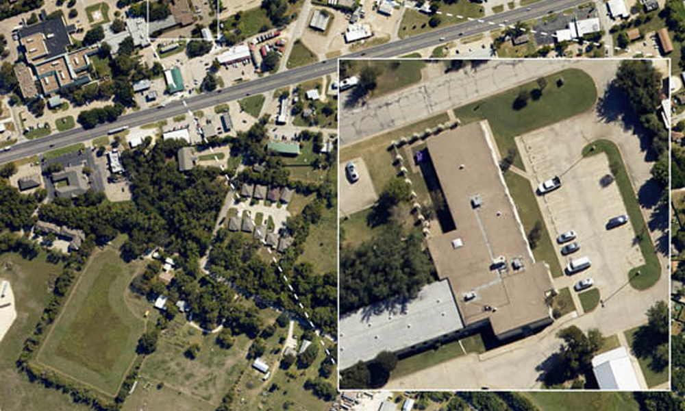
Bringing Rural Aerial Imagery to Small, Texas Towns [Case Study]
Rural Aerial Imagery At Prius Intelli, we're passionate about making aerial imagery more accessible to more people. We are honored to partner with Brian Shirley and Third Coast Geospatial[...]
Prius Intelli Launches into Aerial Imagery
Learn how Digital Surface Models (DSMs) are created and how they empower decision-making in various industries. Explore a real-life case study of a renewable energy company using DSMs and high-resolution aerial imagery.
Prius Intelli Offers Aerial Imagery and GIS Services for Free
Learn how Digital Surface Models (DSMs) are created and how they empower decision-making in various industries. Explore a real-life case study of a renewable energy company using DSMs and high-resolution aerial imagery.
Exploring Geospatial Data Solutions: Mapping the World with Precision
In today's digital age, accurate and detailed spatial information has become crucial for a wide range of industries. Geospatial data solutions have emerged as powerful tools that harness the[...]
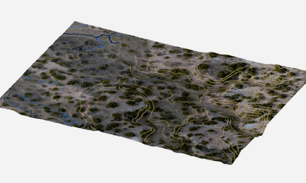
Hydrological Modeling Case Study: Trinity Works for The Circle T Ranch
Discover how Trinity Works used hydrological modeling to solve the drainage issues of the Circle T Ranch in Fort Worth, Texas.

