Aerial Imagery for the Oil Field to Increase Efficiency
Aerial Imagery for the Oil Field to Increase Efficiency
Aerial Imagery for the Oil Field to Increase Efficiency
Aerial Imagery for the Oil Field to Increase Efficiency

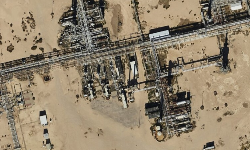
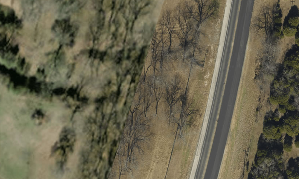
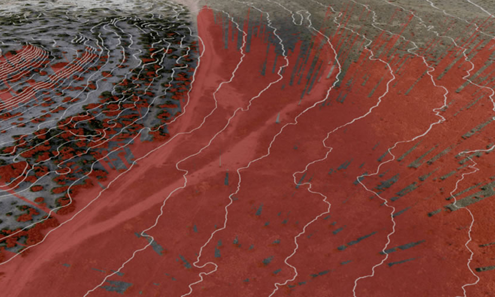
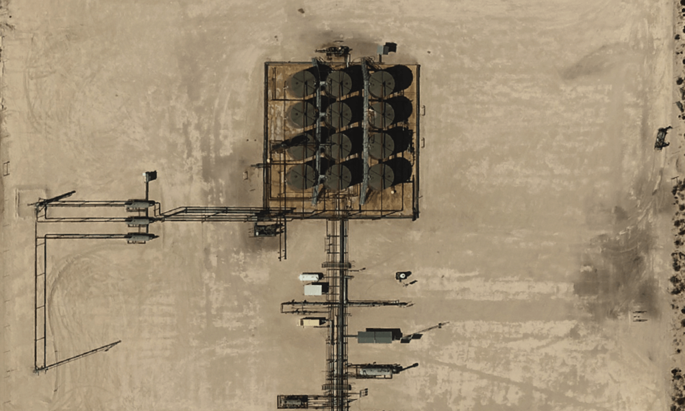
Prius Intelli’s Perry New was recently featured on JPT, Journal of Petroleum Technology to discuss advanced aerial imagery for the oil field. In the article, Perry delved into the pros and cons of three methods of capturing data using drones, satellites, and fixed-wing manned aircraft. He went on to elaborate on the importance of using up-to-date and accurate data to increase efficiency in the oil field.
Uses of advanced aerial imagery for the oil field are extensive – site selection, security, environmental monitoring, compliance, facility management, and much more. Incorporating advanced aerial imagery technologies into the oil field can lead to improved operational efficiency, reduced costs, enhanced safety, and better environmental stewardship.
Here is an excerpt from the article:
Getting work done in a labor-constrained industry such as energy is challenging on the best of days. On top of normal workloads, ever-tightening regulatory scrutiny grows the to-do list seemingly by the day. Compounding the problem is the fact that energy projects of all sorts cover spaces measured in acres or square miles and are often hundreds of miles away from headquarters. To gather the information needed to plan, build, and monitor these far-reaching projects, companies need either to staff up additional survey crews or to carve out significant time and budget to put decision-makers on the road. More and more companies, though, are empowering existing personnel to work smarter by putting high-value, birds-eye-view visuals at their fingertips.
Advanced aerial imagery—be it collected from drone, satellite, or fixed-wing aircraft—is one of the best options available for securing the critical information needed to run things smoother in the oil field and along rights of way. Better yet, this information is easily accessible whether you are at an industry conference in Denver or huddled with your team at HQ in Houston.
Read the entire article: https://jpt.spe.org/eyes-in-the-sky-put-oil-fields-in-focus.


