

Beyond Ground Control Points: Achieving High-Accuracy Orthomosaic Mapping without the Hassles
Beyond Ground Control Points: Achieving High-Accuracy Orthomosaic Mapping without the Hassles
Beyond Ground Control Points: Achieving High-Accuracy Orthomosaic Mapping without the Hassles
Beyond Ground Control Points: Achieving High-Accuracy Orthomosaic Mapping without the Hassles

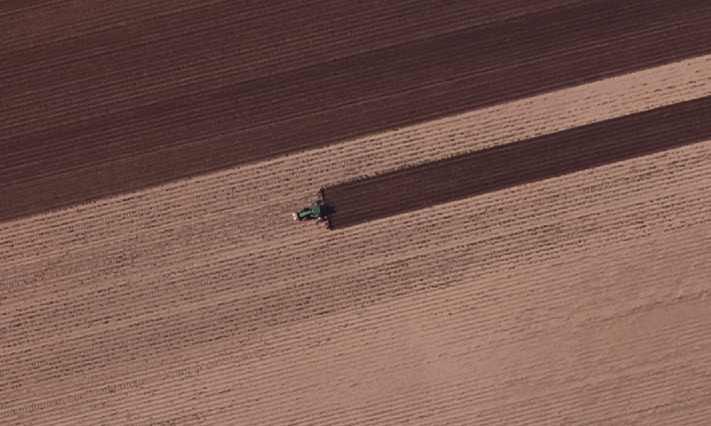
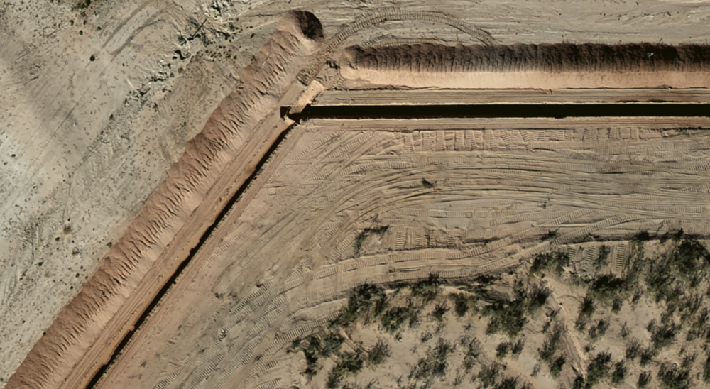
Ground Control Points (GCPs) have long been considered the gold standard for producing the highest level of accuracy in aerial imagery and orthomosaic mapping. By providing verifiable accuracy, high-resolution imagery processed with GCPs ensures the pinpoint precision needed for critical applications such as engineering, surveying, and government projects like DOT infrastructure planning and flood plain mapping.
However, the question arises: do most projects truly require this level of accuracy, given the significant cost and effort involved in setting up GCPs? In many cases, the answer is no. Recognizing this, Prius Intelli has developed an innovative approach that delivers high-accuracy data without the time and financial drawbacks associated with using GCPs.
The Pros and Cons of Ground Control Points (GCPs)
Ground Control Points are specific points on the ground with known geographic coordinates, typically marked with visible targets and surveyed using high-precision GPS surveying equipment. By establishing a mathematical relationship between the image pixels and their real-world locations, GCPs help correct geometric distortions caused by factors such as camera tilt and terrain variations.
While using GCPs with high-resolution imagery (e.g., 2.5 cm or 5 cm) can indeed tighten the accuracy, it comes at a price. Setting up GCPs is a multi-step process that involves planning, site preparation, marking, surveying, and documentation. This process can take several days to weeks and cost thousands to tens of thousands of dollars, depending on factors such as area size, terrain accessibility, equipment, and labor.
Moreover, using GCPs with lower-resolution imagery can potentially introduce errors due to the larger pixel size. So, is the extra cost and time investment worth the marginal gain in accuracy for most projects?
Prius Intelli’s Innovative Approach: High Accuracy without the Hassle
At Prius Intelli, we understand that while some projects require the highest level of verifiable accuracy, most applications can benefit from a more efficient and cost-effective solution. Our cutting-edge technology and proprietary workflows enable us to deliver high-accuracy aerial imagery and orthomosaic maps without relying on GCPs.
By employing advanced sensors, sophisticated calibration techniques, and robust data processing algorithms, we can achieve consistent accuracy across the entire project area. Our streamlined data collection process reduces costs and eliminates the potential for human error inherent in GCP-based approaches.
While our accuracy estimates may not be as precise as those obtained through GCPs, they still fall within a small range, making them suitable for a wide array of applications. This allows our clients to save time and money without compromising on the quality of their data.
Prius Intelli’s High-Resolution Aerial Mapping Resolution & Accuracy by the Numbers
- 2.5cm ~3” x,y ~6-8″ vertical
- 5cm ~6” x,y ~12-14″ vertical
- 7.5cm ~9” x,y ~18-20″ vertical
- 10cm ~12” x,y ~22-24” vertical
- 15cm* ~18” x,y
*15cm resolution is inadequate for most elevation modeling thus vertical accuracy is not provided.
Choosing the Right Approach for Your Project
When deciding whether to use GCPs or opt for Prius Intelli’s innovative solution, consider the specific requirements of your project. If you need the highest level of verifiable accuracy, such as for engineering, surveying, or government work, using GCPs with high-resolution imagery may be necessary.
However, for the vast majority of projects, Prius Intelli’s approach offers a more practical, efficient, and cost-effective alternative. By eliminating the need for GCPs, we help our clients save time and money while still providing high-accuracy data that more than meets their needs.
Read how zero-GCP Everyday Imagery by PI® delivers operational efficiencies across multiple departments. It’s a powerful visual tool that every department can use to save time and money.
Unlocking the Potential of Aerial Imagery and Orthomosaic Mapping
In the world of orthomosaic mapping, finding the right balance between accuracy, cost, and efficiency is crucial. While Ground Control Points remain the gold standard for achieving the highest level of verifiable accuracy, Prius Intelli’s innovative approach offers a compelling alternative for projects that don’t require such stringent precision.
By leveraging advanced technology and proprietary workflows, we deliver high-accuracy aerial mapping solutions without the time and financial burdens associated with using GCPs. This allows our clients to focus on their core objectives, knowing that they have access to reliable and cost-effective data.
As you embark on your next project, consider the specific accuracy requirements and weigh them against the potential cost and time investments. With Prius Intelli’s cutting-edge solutions, you can achieve the right balance for your needs and unlock the full potential of aerial imagery and orthomosaic mapping.
Take the Next Step
Contact Prius Intelli today to discuss your project requirements and discover how our innovative solutions can help you achieve your goals. Our experienced team is ready to guide you through the process and provide tailored recommendations to ensure your project’s success. Don’t settle for less –– partner with Prius Intelli and unlock the full potential of your geospatial data while saving time and money along the way.
Be sure and follow Prius Intelli on LinkedIn.

