Fiber Network Planning: Why On-Demand Aerial Imagery Outperforms Satellite Imagery
Fiber Network Planning: Why On-Demand Aerial Imagery Outperforms Satellite Imagery
Fiber Network Planning: Why On-Demand Aerial Imagery Outperforms Satellite Imagery
Fiber Network Planning: Why On-Demand Aerial Imagery Outperforms Satellite Imagery

fFiber and broadband deployment is a complex endeavor, demanding precision, foresight, and adaptability. As network planners and engineers strive to connect communities and businesses, the quality of their foundational data can make or break a project. While satellite imagery has long been a staple in the industry, a new contender is reshaping how we approach fiber network planning, engineering, and construction: on-demand high-resolution aerial imagery.
The Limitations of Satellite Imagery
Satellite imagery has long been a valuable tool for getting a bird’s-eye view of potential fiber routes and installation sites. However, it comes with several limitations that can impact the efficiency and accuracy of your projects:
- Outdated Information: Satellite images are often months or even years old, potentially missing recent developments or changes in the landscape.
- Weather Dependence: Cloud cover can obscure important details, leading to incomplete or unusable data.
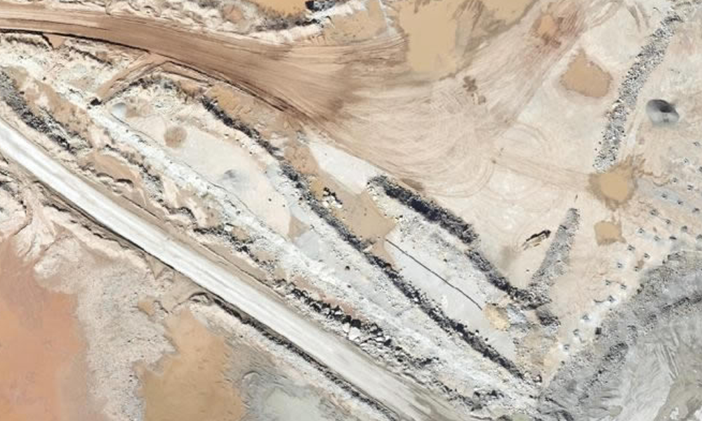
- Resolution Constraints: Even high-resolution satellite imagery typically offers a ground sample distance (GSD) of 30-50 cm, which may not be sufficient for detailed planning.
- Limited Flexibility: Satellite orbits are fixed, meaning you can’t always get imagery of your specific area of interest when you need it.
- Lack of 3D Data: With its resolution constraints, satellite imagery cannot be used to create the 3D modeling needed for critical terrain analysis and line-of-sight planning.
The On-Demand Aerial Imagery Advantage
On-demand aerial imagery by Prius Intelli addresses these limitations head-on, offering several key advantages:
- Up-to-Date Information: Imagery is captured when you need it, ensuring you’re working with the most current data available.
- Weather Flexibility: Flights can be scheduled during optimal weather conditions, guaranteeing clear, unobstructed views.
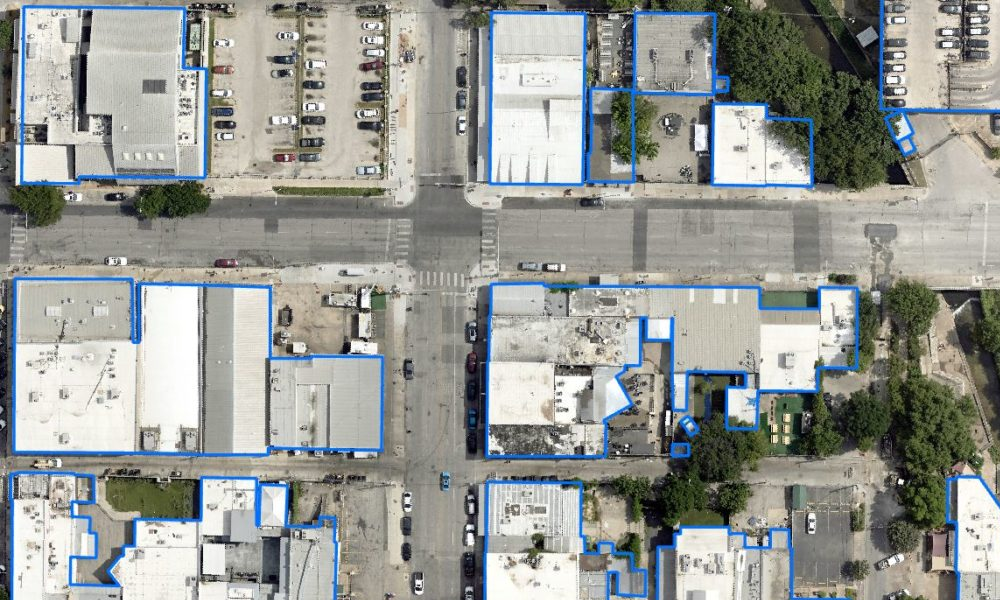
- Ultra-High Resolution: With GSD as low as 2.5 cm, you can see intricate details crucial for precise fiber network planning and engineering.
- Customizable Area of Interest: Flights can be tailored to cover exactly the areas you need, when you need them.
- 3D Capabilities: 5cm or higher resolution imagery can be used to generate detailed 3D models, enabling better terrain analysis and line-of-sight planning.
Real-World Benefits for Fiber Network Projects
The advantages of on-demand aerial imagery translate into tangible benefits throughout the lifecycle of fiber network projects:
- More Accurate Route Planning: Identify the most efficient paths for fiber installation, avoiding potential obstacles and minimizing community disruptions.
- Enhanced Pre-Installation Engineering: Obtain precise measurements and gain a comprehensive understanding of site conditions, leading to optimized designs and smoother permitting processes.
- Improved Construction Management: Facilitate better coordination among stakeholders, optimize site logistics, and track progress more accurately.
- Cost Savings: By providing more accurate and current information, on-demand aerial imagery helps reduce costly errors and rework during construction.
- Faster Project Completion: With better planning and fewer surprises during installation, projects can be completed more quickly and efficiently.
The Prius Intelli Approach
At Prius Intelli, we’ve harnessed the power of on-demand aerial imagery to provide unparalleled solutions for the fiber and broadband industry. Our approach combines ultra-high-resolution imagery (4-10 times more accurate than satellite imagery) with advanced, proprietary workflows. We deliver not just imagery, but comprehensive GIS data solutions including elevation models, line-of-sight analysis, and planimetric maps. All of this is achieved without the need for ground control points, streamlining the data collection process and delivering results faster than ever before.
As the fiber and broadband industry continues to evolve and expand, the tools we use for planning and deployment must keep pace. On-demand aerial imagery represents a significant leap forward in our ability to plan, engineer, and construct fiber networks efficiently and accurately. By providing clearer, more current, and more detailed information, it enables better decision-making at every stage of a project.
While satellite imagery still has its place in broad-scale planning, the precision and flexibility offered by on-demand aerial imagery make it an invaluable tool for those looking to stay at the forefront of the industry. As you consider your next fiber network project, consider the advantages that this cutting-edge technology can bring to your planning and execution processes.
Ready to see the difference for yourself? Contact Prius Intelli today to schedule a demo of our ultra-high-resolution imagery and discover how it can transform your approach to fiber network planning.


