Environmental Impact Assessments: Visualizing Regulatory Concerns & Solutions Pre- & Post- Construction
Environmental Impact Assessments: Visualizing Regulatory Concerns & Solutions Pre- & Post- Construction
Environmental Impact Assessments: Visualizing Regulatory Concerns & Solutions Pre- & Post- Construction
Environmental Impact Assessments: Visualizing Regulatory Concerns & Solutions Pre- & Post- Construction

Environmental Impact Assessments reporting has been revolutionized by using fixed-wing aircraft to capture high-resolution aerial imagery for large-scale industrial construction projects. This innovative approach streamlines both pre-construction EIAs and post-construction Environmental Compliance Mitigation Plan (ECMP) reporting. By providing precise visual data gathered before, during, and after construction, companies can navigate complex regulatory requirements more effectively, ensuring thorough documentation throughout the project lifecycle.
This method, ideal for extensive land-use endeavors like pipeline construction, road development, and utility/fiber installation, surpasses short-range drone capabilities. With comprehensive aerial data, including crucial elevation modeling and line-of-sight studies, project managers can efficiently plan access routes, identify staging areas, and optimize construction phases across vast landscapes. The on-demand nature of data collection allows for improved nuts-and-bolts planning, giving companies a significant advantage in both project execution and regulatory compliance.
The revolutionary impact of aerial imagery on Environmental Impact Assessments can be clearly seen in both the initial assessment phase and post-construction compliance efforts. Let’s examine how this technology enhances each stage of the environmental reporting process:
Initial Environmental Assessment Reports (Before Construction)
A pre-construction flyover of the Area of Interest offers several key benefits for initial environmental assessment:
- Comprehensive Baseline Data: Aerial imagery provides a detailed record of land conditions prior to any work, establishing a crucial baseline for future comparisons across large project areas along with the baseline environmental data required for thorough EIAs.
- Habitat and Ecosystem Mapping: Aerial imagery allows for precise identification and mapping of sensitive ecosystems, endangered species habitats, and water bodies across the entire project footprint.
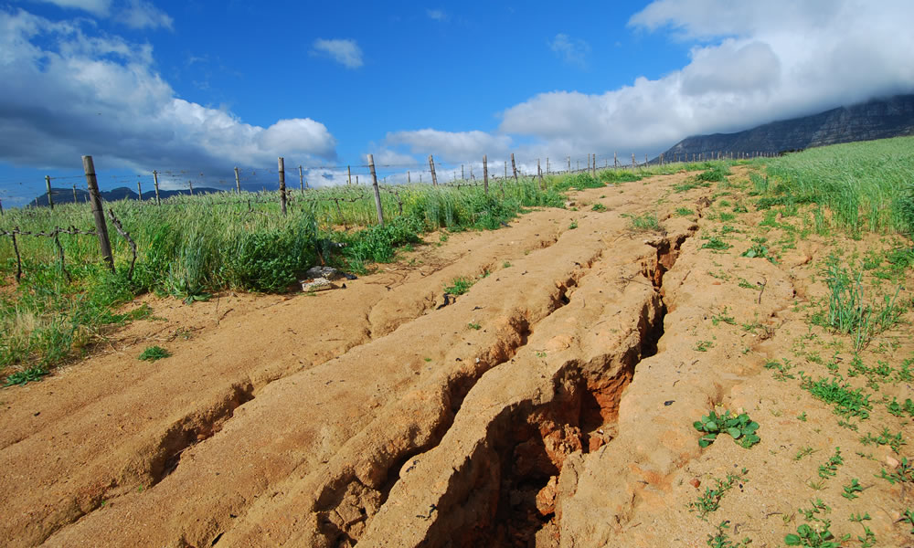
- Topographical Analysis: Detailed imagery facilitates accurate topographical assessments, crucial for evaluating potential erosion risks and watershed impacts.
Environmental Compliance Mitigation Plan Reporting (After Construction)
Post-construction aerial imagery allows for side-by-side comparisons with pre-construction images across the entire project footprint, clearly showing landscape changes over large areas.
- Extensive Comparison: Post-construction aerial imagery allows for side-by-side comparisons with pre-construction images across the entire project footprint, clearly showing landscape changes over large areas.
- Targeted Remediation Guidance: Areas requiring restoration are easily identifiable even in remote locations, allowing for precise and efficient remediation efforts across the project’s entirety.
- Verification of Large-Scale Restoration: Follow-up imagery can confirm that remediation efforts have successfully restored vast areas to their original state, or as close to it as possible.
- Documentation of Compliance: Before-and-after imagery of entire project areas provides robust documentation for regulatory bodies, demonstrating responsible land management practices on a large scale.
By incorporating high-resolution aerial imagery from fixed-wing aircraft into the pre- and post-reporting process, industries involved in extensive land-use projects can ensure compliance with environmental regulations while demonstrating a commitment to responsible development. This approach helps maintain positive relationships with landowners and communities across wide geographic areas, potentially facilitating future projects and expansions.
Moreover, the use of fixed-wing aircraft for collecting high-resolution imagery offers several advantages for these large-scale projects:
- Coverage of Vast Areas: Fixed-wing aircraft can efficiently capture imagery of extensive land areas in a single flight, making them ideal for long linear projects like pipelines or highways.
- Timeliness and Consistency: Fixed-wing aircraft can be deployed on demand, capturing up-to-date imagery that accurately reflects current ground conditions. This ability to collect timely data across large areas ensures that project decisions are based on the most recent and relevant information, crucial for accurate planning and comparisons throughout the project lifecycle.
- Cost-Effectiveness for Large Projects: While drones might be more economical for small areas, fixed-wing aircraft become more cost-effective when covering hundreds or thousands of acres or square miles.
- High-Resolution Output with No Need for Ground Control Points: Prius Intelli’s proprietary sensor configurations capture extremely detailed imagery, at resolutions of 15cm or higher, providing the level of detail necessary for thorough analysis and planning.
This approach to pre- and post-construction reporting using high-resolution aerial imagery not only ensures environmental compliance but also provides valuable data for project management, stakeholder communication, and future planning across a wide range of industries involved in large-scale land development.


