


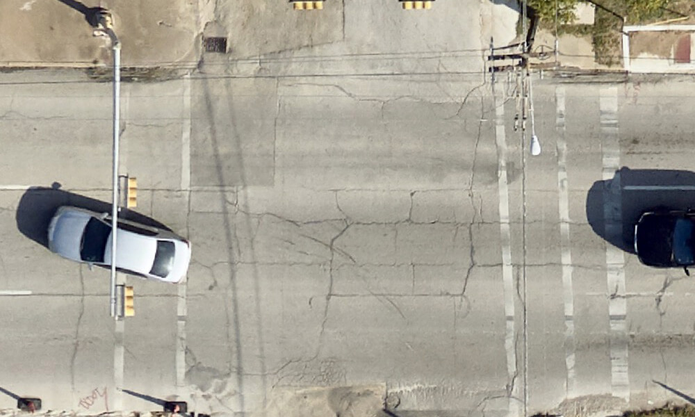
Why Aerial Imagery Resolution & Freshness Matter
Important business decisions should never be based on inaccurate data. Having current, high-quality data is critical to any project’s success. With that same logic, it’s easy to see why[...]
7 Best Ways to Use Orthoimagery
While aerial photography provides bird’s-eye images of the surface, orthoimagery takes it a step further by combining it with the benefits of enhanced maps. From pipeline development to real[...]
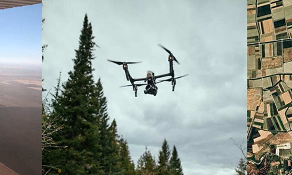
How and When to Use Manned Aircraft Aerial Imagery, Drone or Satellite
Vertical imagery used for GIS purposes is mostly done from one of three vehicles: manned aircraft, UAVs (drones) and satellites. Although each has its unique value and purpose, the precision of data that can be captured and the costs associated should be considered when deciding your needs. But, it's not necessarily an either/or situation.

