Aerial & GIS Data Speeds Greenfield Power Grid Planning
Aerial & GIS Data Speeds Greenfield Power Grid Planning
Aerial & GIS Data Speeds Greenfield Power Grid Planning
Aerial & GIS Data Speeds Greenfield Power Grid Planning

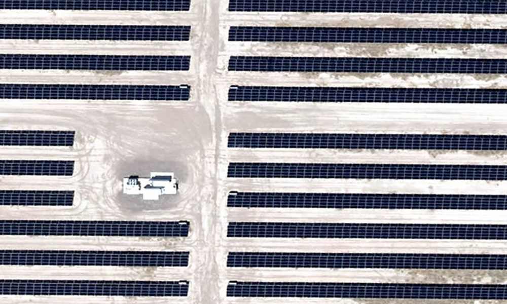
With power grid planning for renewable energy projects increasing across America, the need for power grid connections continues at a breakneck pace. Most wind and solar farms spread out across 40-100 acres or more, and they may be miles from existing power lines. Mapping routes for new powerlines can be done several ways, but aerial photography has proven to be the fastest and most accurate option.
Some of those facilities may be 100 or more miles away from end cities or power substations. Planning such routes requires extensive knowledge of natural issues including terrain, streams and vegetation. There are also human-made obstacles such as buildings and roads. Locating existing power stations and lines is also important. Knowledge of land issues also informs decisions about the kind of foundations the power line towers will need to be secure.
Power Grid Planning Ground Collection Issues
Older methods of data collection included sending ground crews out across miles to measure distances and record terrain issues. But this method presents three main issues. It can take weeks to compile. It is costly in person-hours. Finally, its accuracy depends on all the individuals being completely precise and accurately compiling the data into a format that’s usable by everyone who needs it.
GIS Data: What It Is, and the Best Way to Get It
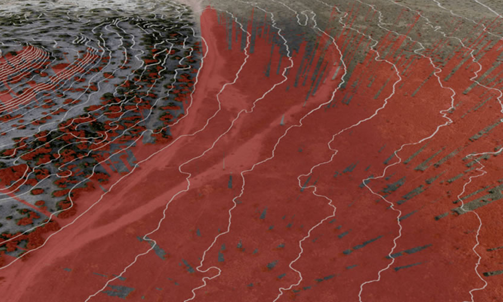
Every industry today is moving to GIS data to quickly get a broad overview of this type of planning. GIS (geographic information system) data is defined as a solution that creates, manages, analyzes and maps all types of surface data. On a map, it integrates location data with descriptive data about what’s on the surface.
There are two main ways to collect GIS data. One is by satellite and the other is by aircraft.
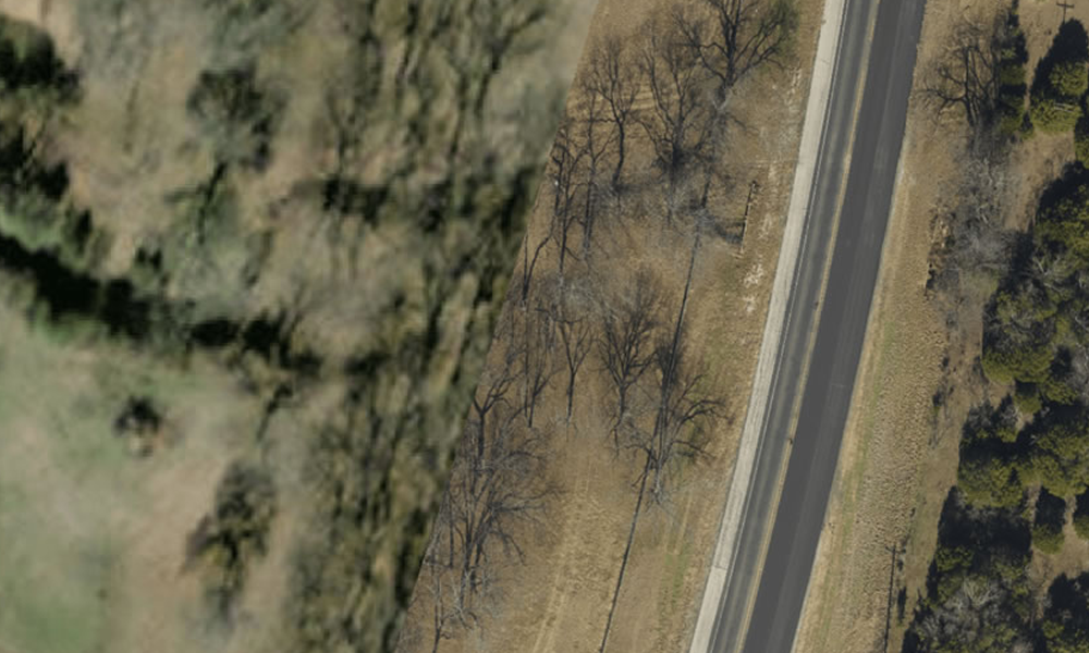
Satellite imagery does provide a broad view, but it suffers from two main drawbacks. First, it may not be current, as most databases only record satellite data every few months. (Things can change over that interval.) Second, it may not be sufficiently detailed. Details such as vegetation or unimproved roads may not be visible. This can create costly surprises once construction work begins.
Detail Saves Money
“True distance” is another benefit of GIS data. When there is a hill, the apparent mileage on a map is not the whole story. The slope adds to the amount of wire and number poles needed to bridge the connection. This 3D data is important in accurate planning.
In addition to speeding the collection process, aerial data can speed up construction. You’ll know what’s actually there with minimal surprises that would require redoing a plan or switching equipment. This saves money virtually every step of the way.
Fast, Accurate Information through Aerial GIS
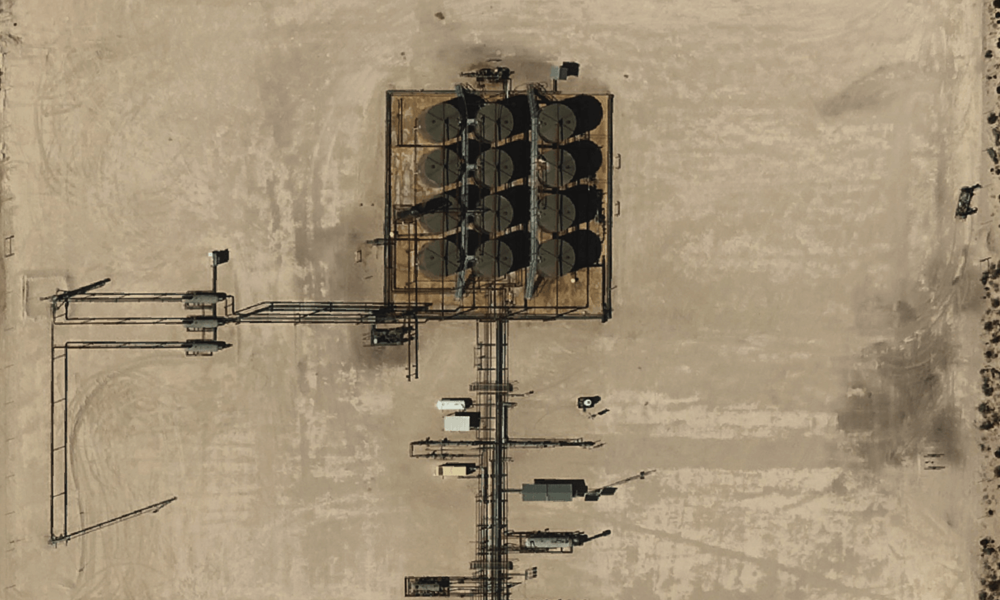
Prius Intelli’s aerial data and GIS mapping can efficiently capture detailed information covering vast expanses of territory. After the flyover and a short interval for processing, you receive the data you need for planning. You’ll quickly see both ends of the connection, and everything in between.
Prius Intelli can provide data from 5-5,000 square miles. We’ll give you the detail you need, at 2.5, 5, 7.5, 10, or 15 CM.
To learn more about how Prius Intelli’s aerial GIS data can smooth your power grid projects, click HERE.


