ORTHOMOSAIC MAPS & ELEVATION DATA FOR E&P
Exploration & Production Powered by Prius Intelli
Our powerful aerial imagery and GIS solutions deliver instant insight into your operations – whether you’re sitting at your desk in Houston or you’re on the road.
18,000+ Square Miles of Imagery Collected On-Demand
Across the Permian Basin, Eagle Ford Shale, Bakken Shale, and other producing regions
Serving Forward-Thinking, GIS-Driven Producers
From Top 3 global powerhouses to basin-centric Independents
Delivering Critical Intel Today… and Tomorrow
Optional multi-year contracts are available to drive critical change detection efforts
ADVANCED GEOSPATIAL TECHNOLOGIES
Unlock Operational Efficiencies in Every Phase
Journey through the lifecycle of an oil and gas exploration and production project, where advanced geospatial technology drives success at every stage. Discover how Prius Intelli’s cutting-edge solutions revolutionize decision-making, enhance efficiency, and ensure compliance in the E&P industry.
Our high-resolution orthomosaic maps, precise elevation modeling, and detailed planimetric mapping help you:
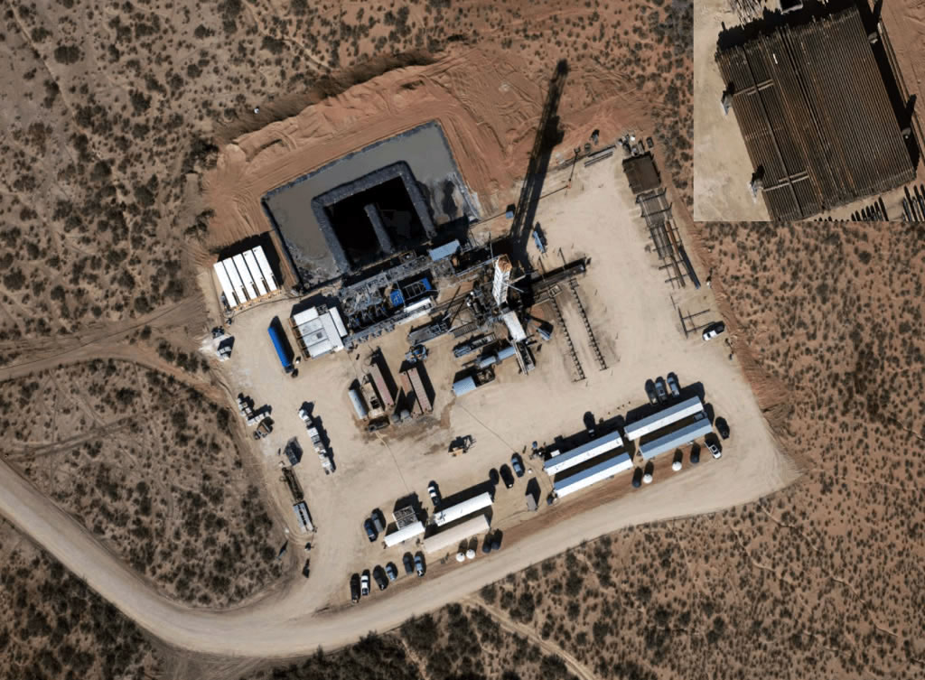
Gain the Upper Hand in Land Negotiations
Land Acquisition
Negotiable favorable terms and avoid costly surprises with up-to-date visual evidence of infrastructure condition, oil spill remediation efforts, and more.

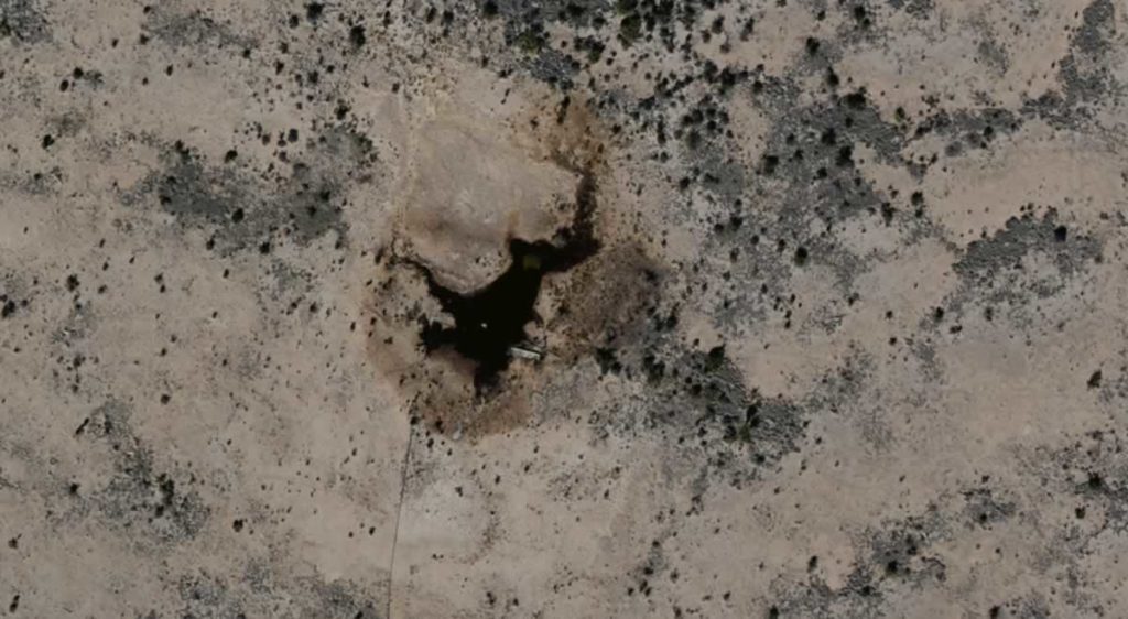
Environmental Impact Studies
Minimize Your Footprint, Maximize Your Responsibility
Conduct comprehensive environmental assessments with planimetric mapping and DEMs/DSMs.
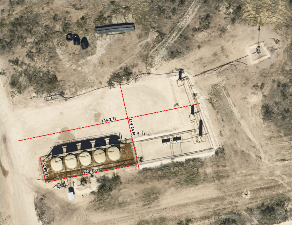
Optimize Facility Layout for Efficiency & Safety
Site Planning & Design
Enable precise site planning and design with elevation data and geometrically-corrected imagery.
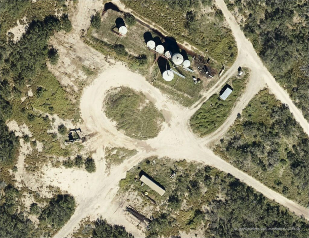
Chart the Best Path to Your Resources
Access Road Planning
Utilize volumetric data to calculate exactly how much road base is needed if new roads are required or if an existing road needs repair.

Well Pad Construction & Infrastructure Buildout
Build with Confidence on Solid Ground
“I was able to sketch out the infrastructure for 70 future wells with my Ops team from the comfort of my office.”
John Evans, Land | Point EP, Fort Worth, TX
Connect Your Assets Seamlessly
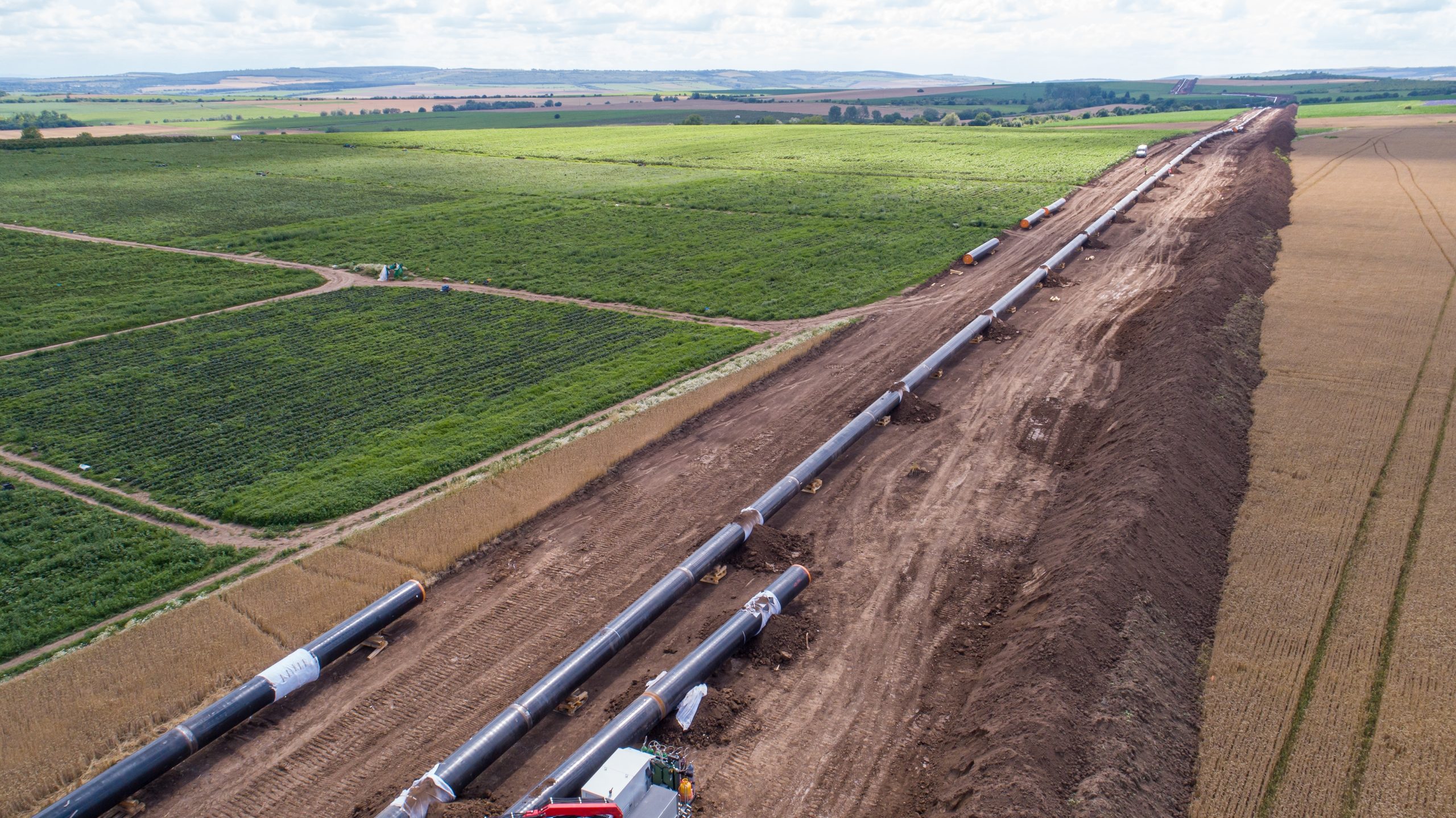
Pipeline Network Planning
Elevation modeling and orthoimagery of ROWs support efficient and safe pipeline route planning.

SPOTLIGHT: Remote Sensing Technology in the Oilfield
Exploring Aerial Options
For the oil and gas industry, utilizing aerial remote sensing solutions is increasingly seen as an operations game-changer. From simple high-resolution orthomosaics to precise vegetation mapping, the data intelligence provided helps solve a variety of challenges – from optimizing pad planning to complying with the PHMSA Mega Rule and USDOT-related regulations.
OPTIMIZE YOUR EXPLORATION & PRODUCTION EFFORTS
Expand your imagery-driven GIS toolbox.
Discover how Prius Intelli’s cutting-edge aerial imagery and GIS solutions can revolutionize
decision-making, enhance efficiency, and streamline compliance in the E&P industry.
OPTIMIZE YOUR EXPLORATION & PRODUCTION EFFORTS
Expand your imagery-driven GIS toolbox.
Don’t let valuable data go underutilized. Contact us today to learn how our expert GIS and aerial imagery solutions can drive innovation and efficiency in your operations.
Discover how Prius Intelli’s cutting-edge aerial imagery and GIS solutions can revolutionize decision-making, enhance efficiency, and streamline compliance in the E&P industry.


