LiDAR MAPPING
Illuminate Your World with LiDAR
Capture precise 3D measurements and better understand your Areas of Interest – quickly and accurately – with LiDAR mapping from Prius Intelli.
HOW LiDAR WORKS
Precision in Every Pulse
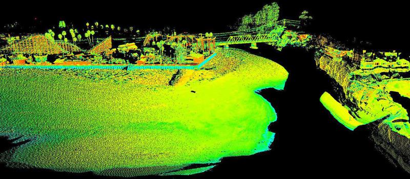
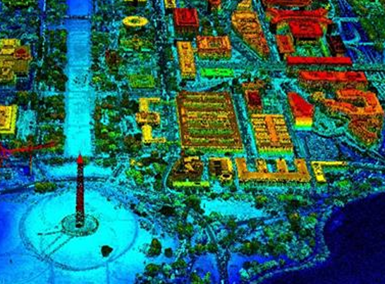
LiDAR (Light Detection and Ranging) is a remote sensing technology that uses light from lasers to measure distances and create highly detailed 3D maps and models of objects. The data collected by LiDAR is used for elevation modeling, LiDAR mapping, surveying, and a variety of engineering applications.
Did you know?
Since LiDAR’s laser pulses can penetrate forest canopy, vegetation, and undergrowth, surface elevation can be precisely determined – even in dense or inaccessible terrain.

SPOTLIGHT: Choosing the Right Technology for Your Project
LiDAR vs Photogrammetry in Aerial Imagery
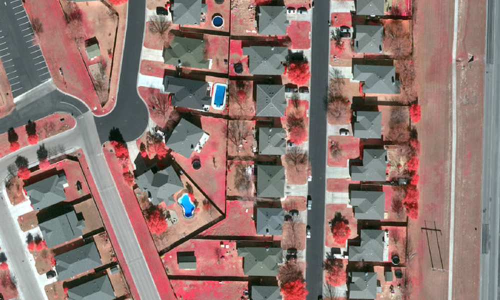
Is LiDAR too much technology for what you’re looking to accomplish? Dig deeper into the pros and cons of LiDAR versus standard RGB photogrammetry. Choose your solution with confidence – and maybe save significant budget dollars along the way.
LiDAR SERVICES
LiDAR Delivered On-Demand from One of
the Best in Aerial Imagery
Prius Intelli’s LiDAR data is collected by manned aircraft
that is flown exactly where – and when – you need it.
Versatile & Precise
A single fixed-wing aerial LiDAR system can generate up to 40 Points Per Square Meter (PPSM) with dual systems up to 100 PPSM, allowing for the generation of point clouds, DEM/DSM, and bare earth models.
Accurate Detection & Analysis
An advanced navigation system combines GPS and inertial technology to create the ultimate position guidance. With additional ground control aerial LiDAR can achieve accuracies of 5cm vertical and 10cm horizontal or better. This powerful combination produces unmatched feature detection accuracy as well as highly accurate terrain surface analysis.
Wide Operational Envelope
With an adjustable field of view and wide-aperture modifications, agile flight planning can tackle any mapping project. From narrow corridors in densely populated areas to expansive DEM collections up to 20,800-feet wide per swath, the possibilities are endless.
Tailored to Your Needs
The system can be operated in sinusoidal, triangular, or raster scan patterns to meet your exact project specifications for point density, distribution, and overall homogeneity.

DID YOU KNOW?
LiDAR Uses and Applications
- Agricultural (Crop Mapping & Management)
- Digital Elevation Models
- Environmental Management
- Farm Management
- Flood & Drainage Control Systems
- Forestry Management
- Geological Surveys
- Land Inspection
- Oil and Gas Exploration
- Ranch Management
- Real Estate Development
- Surface Mining
- Topographical Mapping
- And much more!
WHAT ARE YOU WAITING FOR?
Put LiDAR to work – quickly and with confidence
Data analysts are on hand to help extract and classify infrastructure from LiDAR data to deliver maximum value.
Prius Intelli’s planimetric and topographic LiDAR mapping products are available in a variety of GIS and CAD formats.
WHAT ARE YOU WAITING FOR?
Put LiDAR to work – quickly and with confidence
Don’t let valuable data go underutilized. Contact us today to learn how our expert GIS and aerial imagery solutions can drive innovation and efficiency in your operations.
Data analysts are on hand to help extract and classify infrastructure from LiDAR data to deliver maximum value. Prius Intelli’s planimetric and topographic LiDAR mapping products are available in a variety of GIS and CAD formats.


