

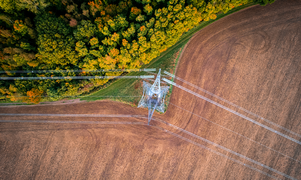
GIS Change Detection Helps Utilities Identify Potential Problems
GIS change detection is a fundamental application of aerial imagery & remote sensing which involves the comparison of multiple raster datasets to identify environmental changes.
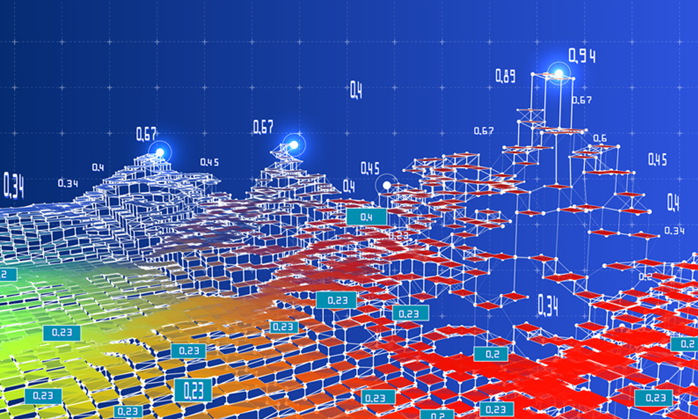
AI for GIS: Unlocking New Possibilities in Geospatial Analysis
AI for GIS (Geographic Information Systems), along with ML (Machine Learning) & DL (Deep Learning) have propelled us into a new era of geospatial analysis.
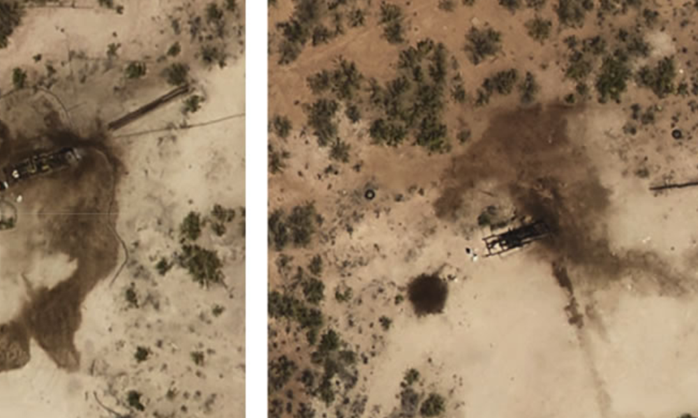
Oil Spills in the Back 40? Why Ranchers Increasingly Seek Environmental Site Assessment
Environmental site assessment (ESA) using aerial imagery is essential for ranches covering hundreds or even thousands of acres while searching for oil spills.
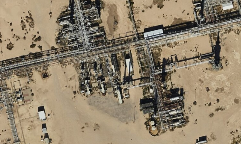
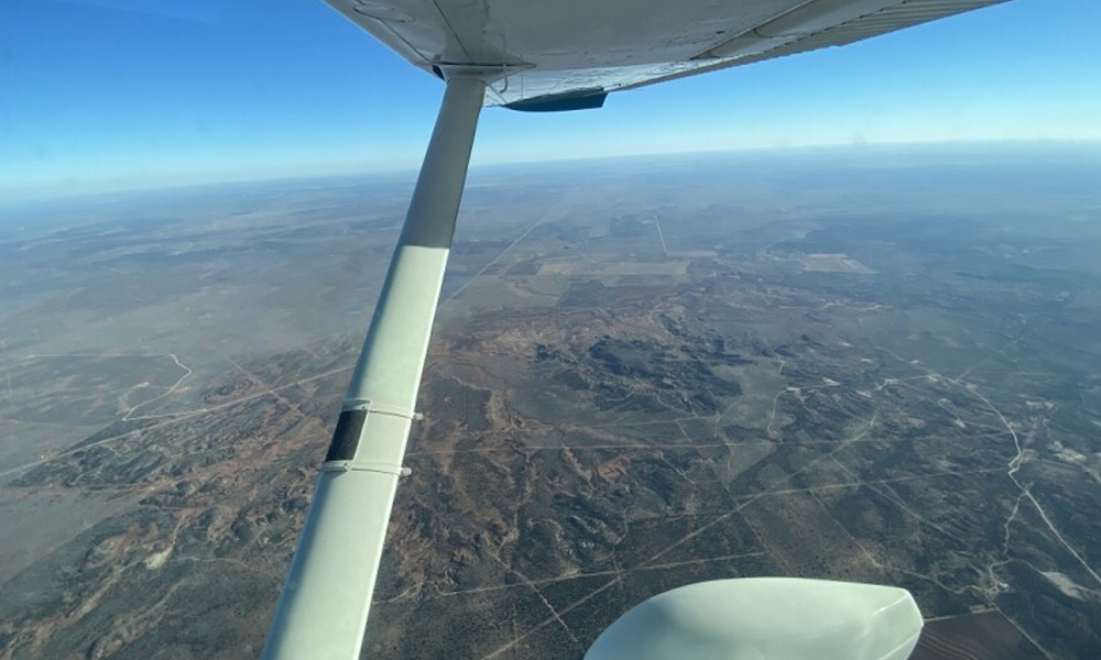
Aerial Imagery for the Oil Field to Increase Efficiency
Learn how Digital Surface Models (DSMs) are created and how they empower decision-making in various industries. Explore a real-life case study of a renewable energy company using DSMs and high-resolution aerial imagery.
Ethan Sparks, Vice President of Solutions, featured in The Journal of Petroleum Technology
Learn how Digital Surface Models (DSMs) are created and how they empower decision-making in various industries. Explore a real-life case study of a renewable energy company using DSMs and high-resolution aerial imagery.
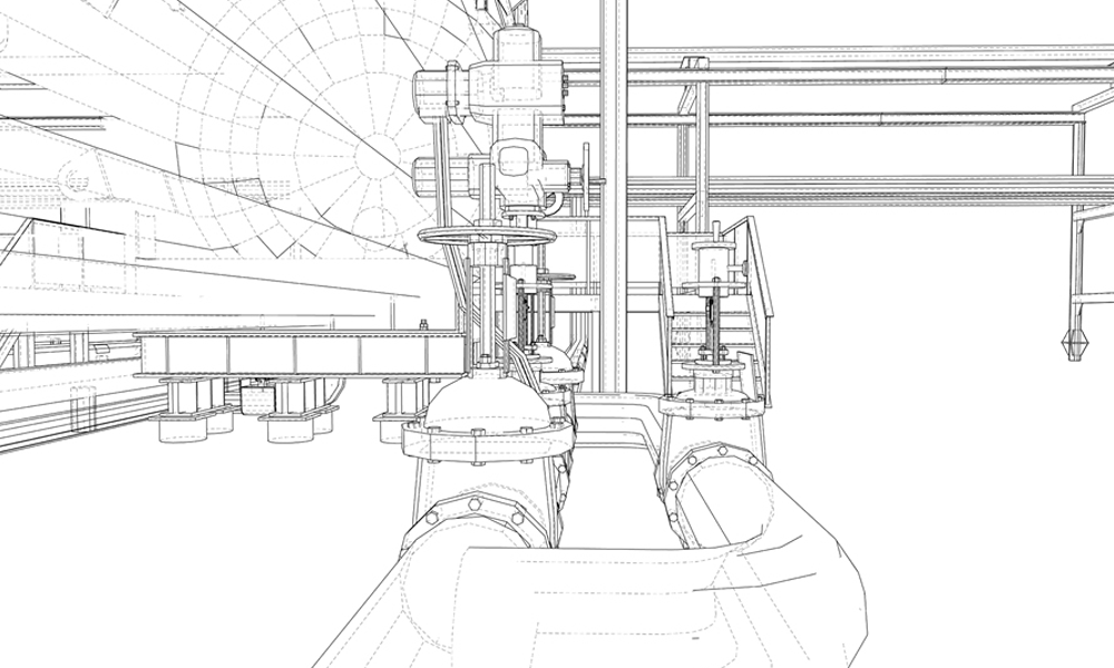
How GIS with Pipeline Digital Twins Inform Present & Future
Pipeline digital twins are being used by forward-thinking midstream oil & gas companies for simulation, integration, testing, monitoring, & maintenance.
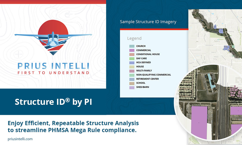
Announcing High-Resolution Imagery – Structure ID® by Prius Intelli
Learn how Digital Surface Models (DSMs) are created and how they empower decision-making in various industries. Explore a real-life case study of a renewable energy company using DSMs and high-resolution aerial imagery.

