

Prius Intelli’s Evolution & Vision for the Future
When Prius Intelli was founded in March 2020, none of us could have predicted the challenges that lay ahead. On the very day we signed our formation documents, our world[...]
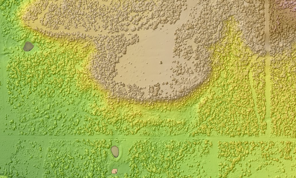
Digital Surface Models: Creation Methods, and How One Company Saved a Trip Across the Ocean with DSMs/DEMs
Learn how Digital Surface Models (DSMs) are created and how they empower decision-making in various industries. Explore a real-life case study of a renewable energy company using DSMs and high-resolution aerial imagery.

Beyond Ground Control Points: Achieving High-Accuracy Orthomosaic Mapping without the Hassles
Ground Control Points (GCPs) have long been considered the gold standard for producing the highest level of accuracy in aerial imagery and orthomosaic mapping. By providing verifiable accuracy, high-resolution[...]
Digital Surface Models: Creation Methods, and How One Company Saved a Trip Across the Ocean with DSMs/DEMs
Learn how Digital Surface Models (DSMs) are created and how they empower decision-making in various industries. Explore a real-life case study of a renewable energy company using DSMs and high-resolution aerial imagery.
Beyond Ground Control Points: Achieving High-Accuracy Orthomosaic Mapping without the Hassles
Ground Control Points (GCPs) have long been considered the gold standard for producing the highest level of accuracy in aerial imagery and orthomosaic mapping. By providing verifiable accuracy, high-resolution[...]
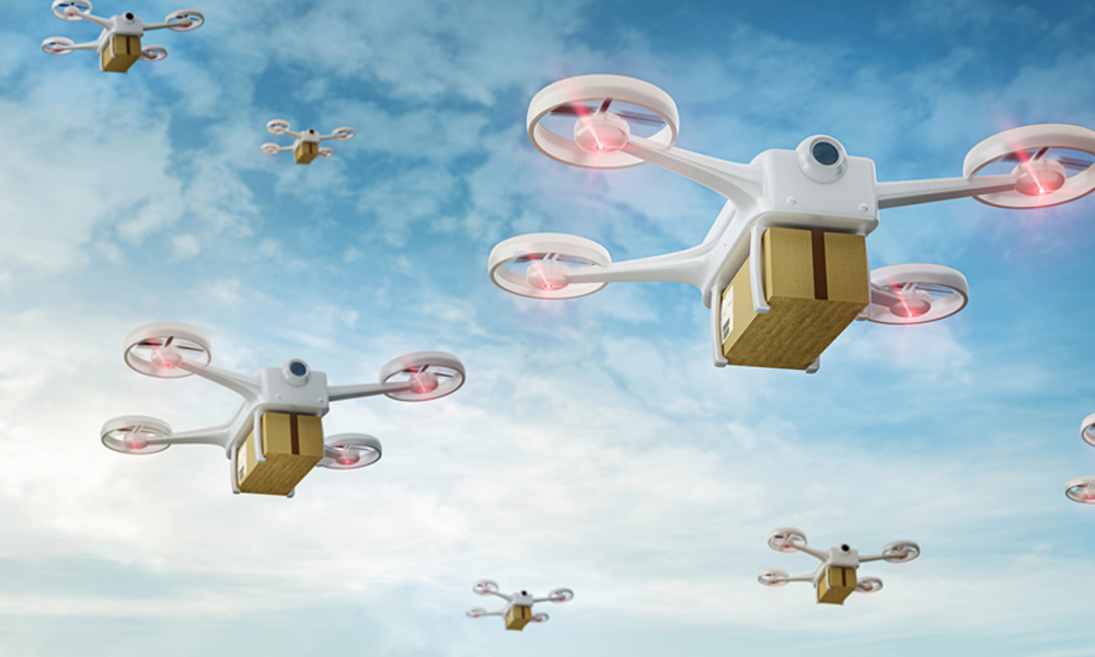
Taking Flight: How Fixed-Wing Aerial Imagery & DSMs Pave the Way for Safe Drone Delivery
Uncover the fascinating world of drone delivery and the companies at the forefront. Learn how high-tech tools like aerial imagery and digital surface models shape the future of direct delivery.
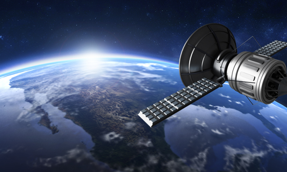
High-Resolution Satellite Imagery: Is It Good Enough for Pipeline Route Planning?
Discover the challenges of using high-resolution satellite imagery for pipeline route planning and explore the advantages of Prius Intelli's ultra-high resolution aerial imagery solution.

