

Commercial Solar Installation Improved With Aerial & GIS Data
Commercial solar installation can be vastly improved using aerial photography and GIS data - helping with site selection, construction, and maintenance.

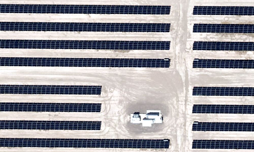
Aerial Photography & GIS Data Smooth the Way for Utility Scale Solar Farm Planning
With any utility-scale greenfield project, everything rises and falls on the solar farm planning stage. Do it right and the project’s success is much more likely. A few mistakes[...]
Prius Intelli Launches into Aerial Imagery
Learn how Digital Surface Models (DSMs) are created and how they empower decision-making in various industries. Explore a real-life case study of a renewable energy company using DSMs and high-resolution aerial imagery.

