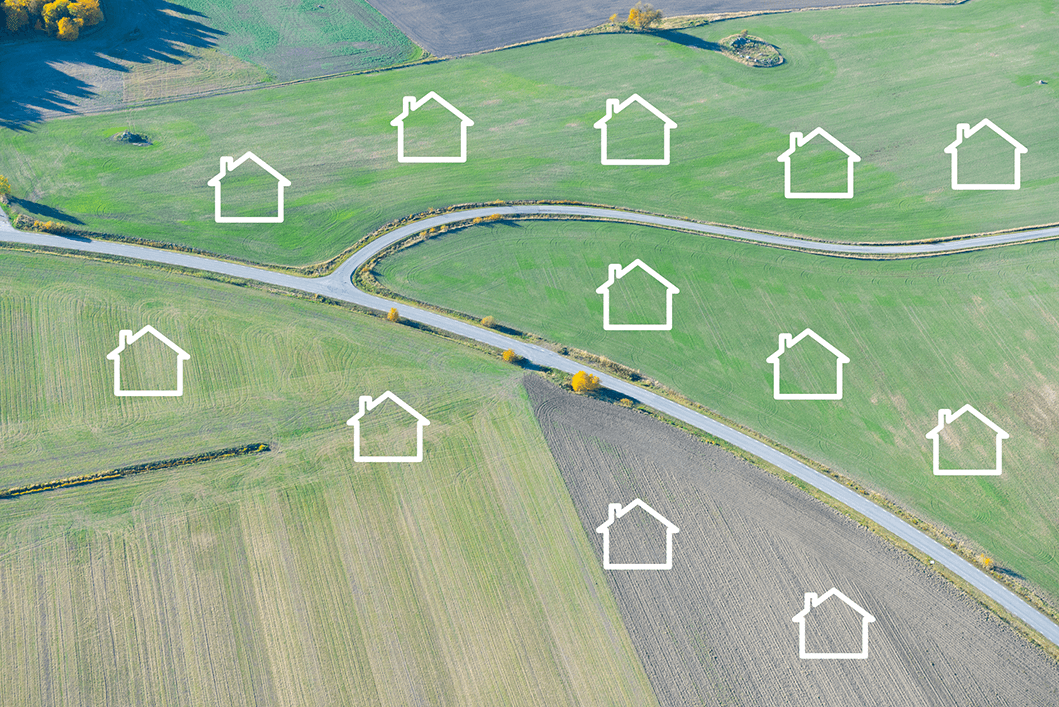
AERIAL Solutions FOR LAND DEVELOPMENT
Maximize Your ROI with Cutting-Edge GIS Solutions
In the competitive world of land development, every decision can make or break your project’s profitability. Prius Intelli’s advanced geospatial solutions give you the edge you need to identify prime opportunities, streamline your development process, and maximize your return on investment.
Prius Intelli’s aerial imagery is collected by fixed-wing aircraft flown
on-demand, delivering the most up-to-date insight available.
With Prius Intelli’s geospatial solutions, you’ll have the insights you need to:
Prius Intelli’s aerial imagery is collected by fixed-wing aircraft flown on-demand, delivering the most up-to-date insight available.
With Prius Intelli’s geospatial solutions, you’ll have the insights you need to:
Streamline Your Due Diligence Process
Cut weeks off your site assessment timeline with our comprehensive geospatial data package.
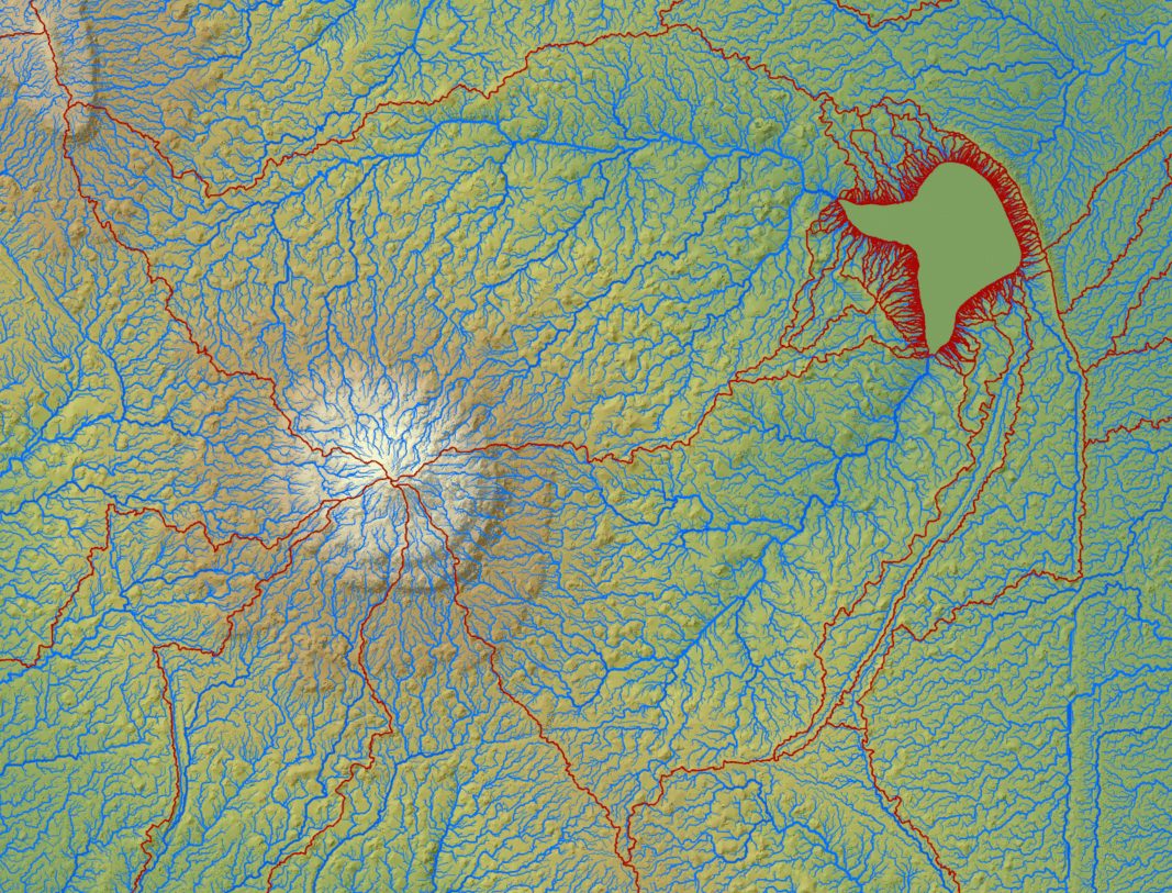
Evaluate topography and drainage patterns with centimeter-accurate Digital Elevation Models (DEMs)
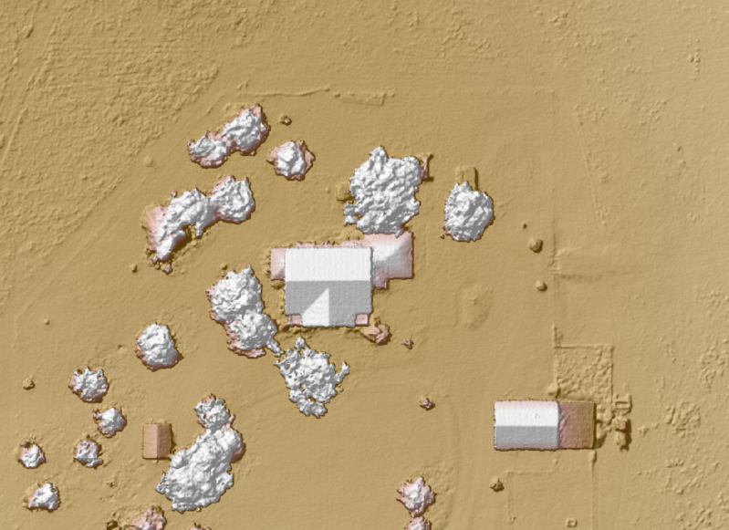
Identify existing structures and vegetation with Digital Surface Models (DSMs)
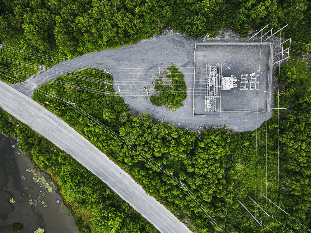
Assess utility connections and capacity using our detailed planimetric maps
Optimize Your Site Plan for Maximum Yield
Our integrated geospatial solutions help you squeeze every square foot of value from your property
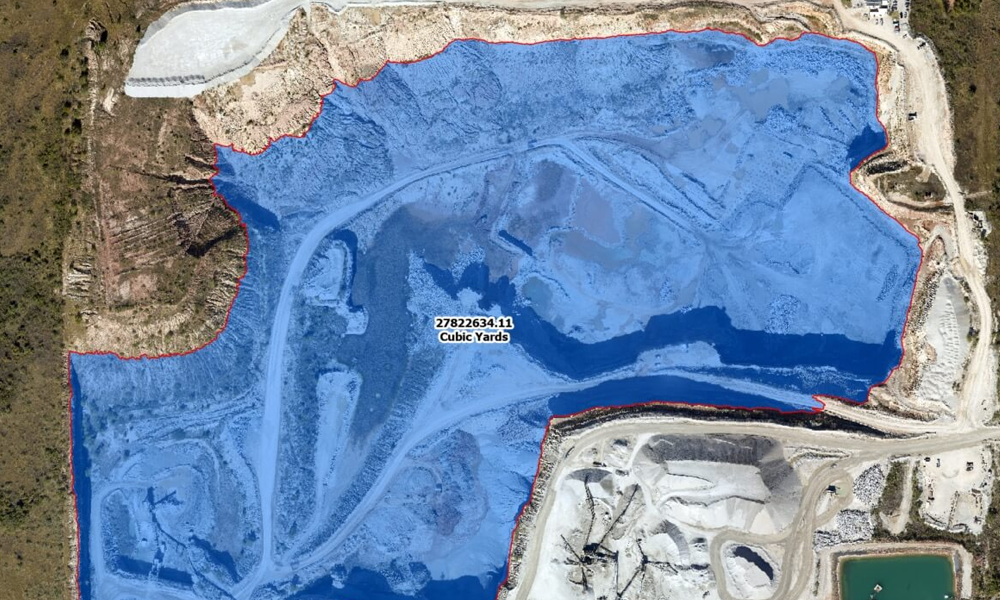
Minimize cut and fill costs with precise earthwork calculations
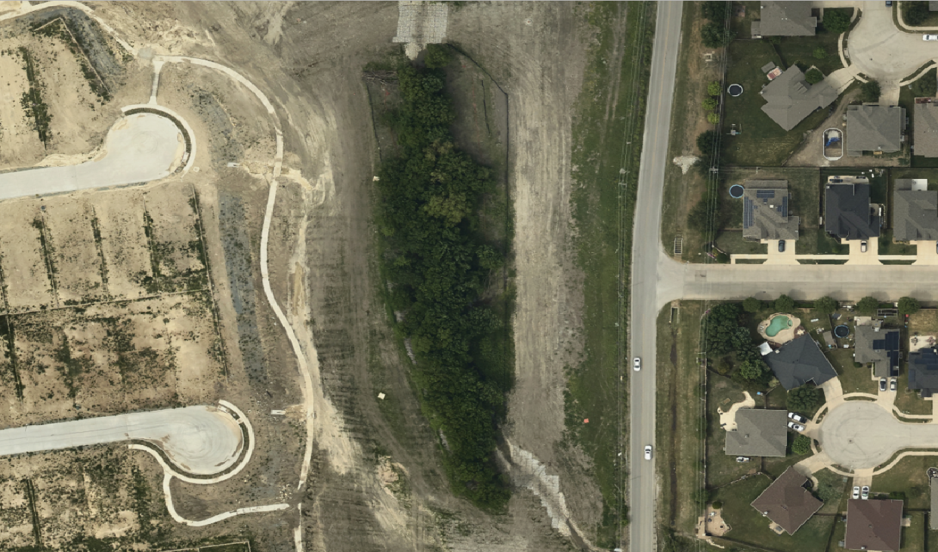
Maximize buildable area by identifying the optimal placement for structures, roads, and amenities
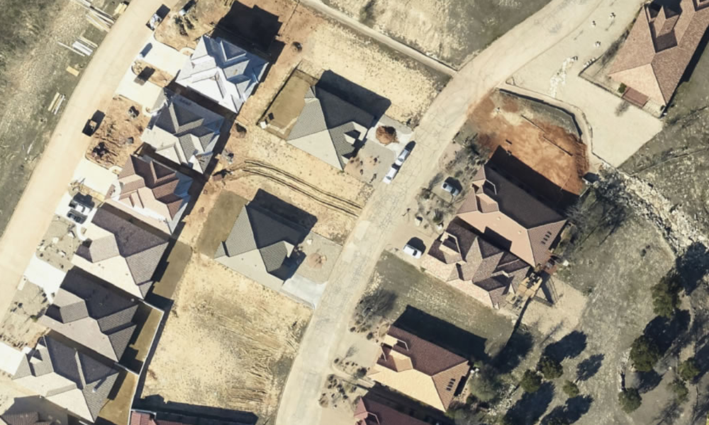
Design with confidence using up-to-date imagery that captures recent changes in rapidly developing areas
Navigate Zoning and Permitting with Ease
Simplify the approval process with data-backed proposals.
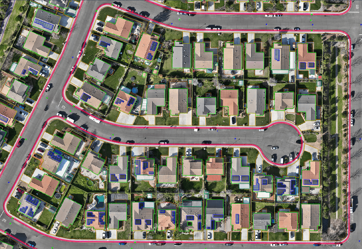
Demonstrate compliance with setback requirements using high-precision planimetric mapping
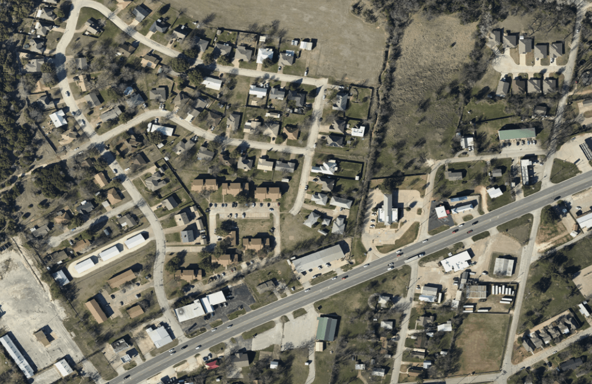
Support variance requests with detailed terrain and neighboring property analysis
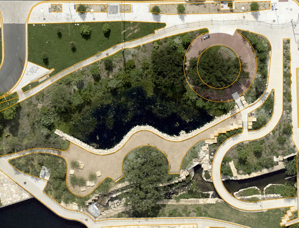
Identify protected environmental features early to avoid costly redesigns

SPOTLIGHT: On-Demand Imagery vs. Satellite
How Up to Date is Google Earth?
Many land developers rely on Google Earth for initial site assessments, but is this free tool truly up to date enough for effective planning? Explore Google Earth’s limitations and why on-demand aerial imagery is essential for unlocking a project’s full potential.
TRANSFORM YOUR APPROACH TO LAND DEVELOPMENT
Unlock your land’s full potential.
Contact Prius Intelli today for a personalized consultation. We’ll show you how our tailored geospatial solutions can drive your projects from concept to completion – faster, smarter, and more profitably than ever before.
TRANSFORM YOUR APPROACH TO LAND DEVELOPMENT
Unlock your land’s full potential.
Don’t let valuable data go underutilized. Contact us today to learn how our expert GIS and aerial imagery solutions can drive innovation and efficiency in your operations.
Contact Prius Intelli today for a personalized consultation. We’ll show you how our tailored geospatial solutions can drive your projects from concept to completion – faster, smarter, and more profitably than ever before.


