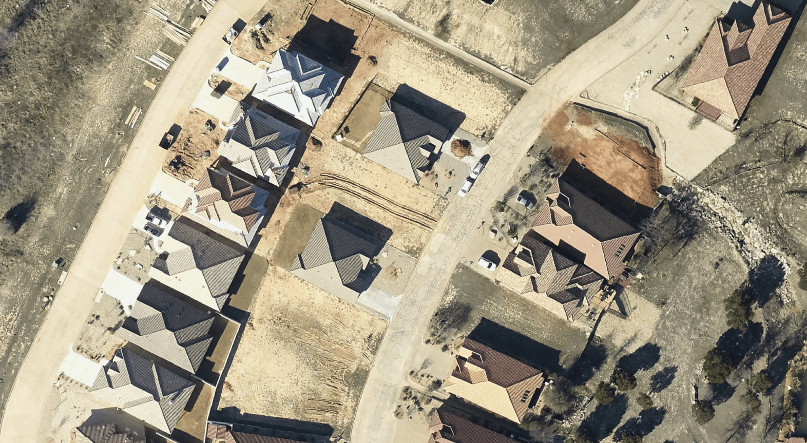
AERIAL MAPPING FOR GOVERNMENT AGENCIES
Elevate Your Governance with Prius Intelli’s Custom-Flown Aerial Solutions
In an era where precision matters, Prius Intelli stands out by offering what satellite services can’t: ultra-high-resolution aerial imagery tailored to your specific needs. Our aerial mapping solutions are perfect for small to mid-sized cities, towns away from major metro areas, and expansive remote projects—providing unparalleled clarity and timeliness for informed decision-making.
Make informed decisions based on current, ultra-clear visual data
Manage resources effectively across your entire jurisdiction, no matter how remote
Enhance public services and emergency response capabilities
Foster sustainable development with accurate, comprehensive environmental insights
TRUST WHAT YOU SEE
Unmatched Clarity Where It Matters Most
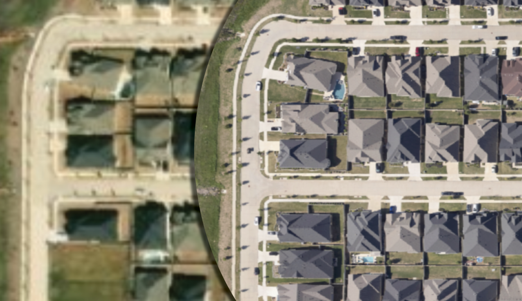
Don’t settle for fuzzy satellite images. Prius Intelli’s aerial mapping services deliver:
- Ultra-sharp imagery up to 10x clearer than the highest resolution satellite data
- Custom flights over areas traditional satellites neglect
- Ideal coverage for small cities, rural towns, and vast remote territories
ALL PROJECTS FLOWN ON DEMAND
Tailored Solutions for Underserved Areas
We fly where others don’t, ensuring comprehensive coverage:
- Capture detailed imagery of small to mid-sized cities often overlooked by satellite services
- Provide crucial data for rural towns making important development decisions
- Cover hundreds or thousands of square miles efficiently for large, remote projects
COMPREHENSIVE GIS SOLUTIONS
Precision Planning with Superior Data
Make decisions based on reality, not outdated approximations:
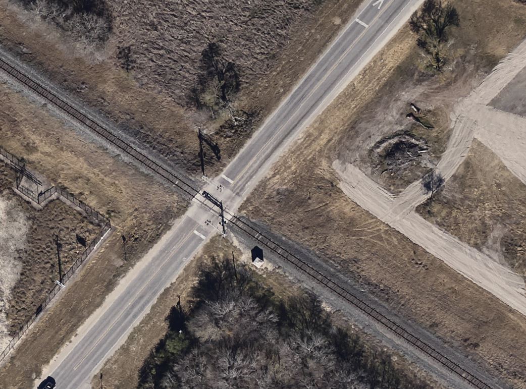
- Visualize current land use and development with crystal-clear orthoimagery
- Detect subtle terrain changes with our high-precision Digital Elevation Models (DEMs)
- Assess infrastructure conditions accurately, from urban centers to remote outposts
EASILY COLLECT THOUSANDS OF SQUARE MILES
Proactive Governance Across Vast Territories
Manage large areas effectively with our fixed-wing aircraft solutions:
- Monitor extensive agricultural lands, forests, or water resources
- Plan and maintain infrastructure across sprawling rural networks
- Respond to natural disasters with up-to-date imagery of affected regions
COMPREHENSIVE GIS SOLUTIONS
Enhanced Emergency Preparedness and Response
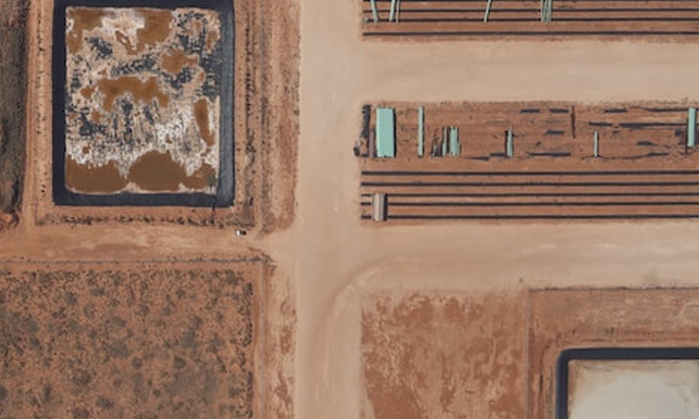
Protect your communities with the latest visual data:
- Create detailed, current risk maps for various hazards
- Plan evacuation routes with confidence, knowing you have the latest terrain information
- Provide first responders with the most up-to-date visuals of any location
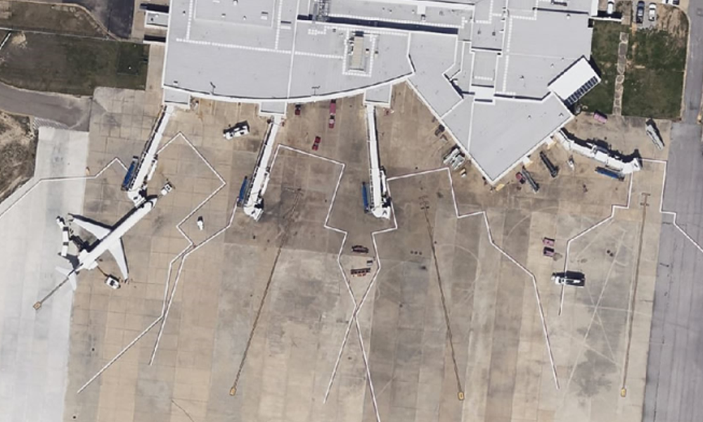
SPOTLIGHT: Montgomery Regional Airport
Airports & Aerial Imagery
Prius Intelli’s high-quality aerial imagery solutions are transforming the way airports of all sizes manage their infrastructure and operations. By providing a cost-effective and efficient alternative to traditional imagery sources, we empower airports to make informed decisions, streamline processes, and ensure the safety and efficiency of their facilities.
WHAT ARE YOU WAITING FOR?
Transform your geospatial strategy today.
Don’t let valuable data go underutilized. Contact us today to learn how our expert GIS and aerial imagery solutions can drive innovation and efficiency in your operations.
Don’t let valuable data go underutilized. Contact us today to learn how our expert GIS and aerial imagery solutions can drive innovation and efficiency in your operations.
GIS SOLUTIONS FOR GOVERNMENT ENTITIES
Transform your geospatial strategy today.
Don’t let valuable data go underutilized. Contact us today to learn how our expert GIS
and aerial imagery solutions can drive innovation and efficiency in your operations.


