PRECISION INSIGHTS FOR INFORMED DECISIONS
Planimetric Maps for Better Decision-Making
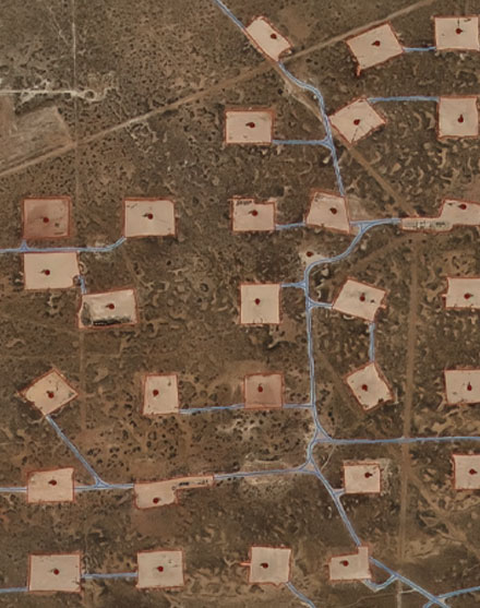
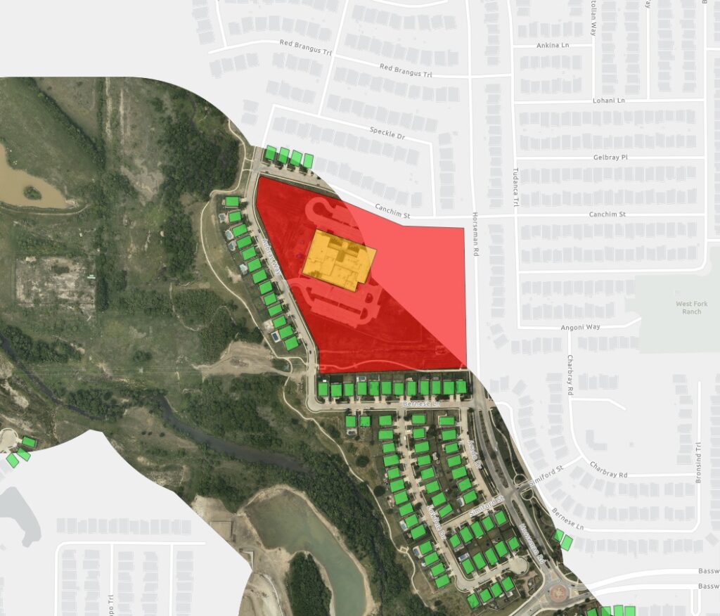
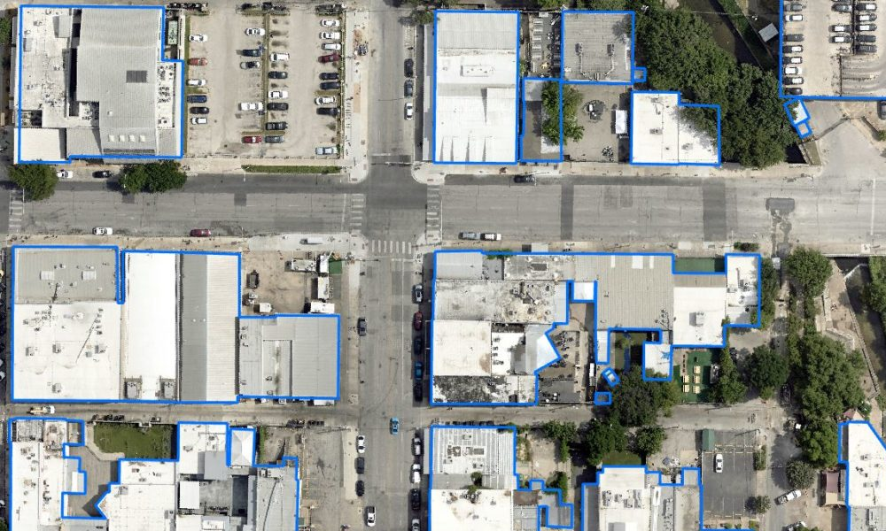
At Prius Intelli, we transform high-resolution aerial imagery into detailed planimetric maps. With our Planimetric Mapping services, you’re not just seeing your project area—you’re understanding it on a deeper level. From intricate networks of man-made features to vast tracts of open land, our services deliver the insights you need to make confident, informed decisions.


