ADVANCED GEOSPATIAL SOLUTIONS FOR MIDSTREAM
Unlock Operational Efficiencies in Every Phase
Embark on a journey through the complete lifecycle of a pipeline project, where cutting-edge geospatial technology meets industry expertise. Discover how Prius Intelli’s advanced GIS services – including high-resolution orthoimagery, precise elevation modeling, detailed planimetric mapping, and our innovative Structure ID product – revolutionize every phase of pipeline development and management.
Our aerial imagery-driven products and services can help pipeline managers:
Optimize Your Pipeline Route Before Breaking Ground
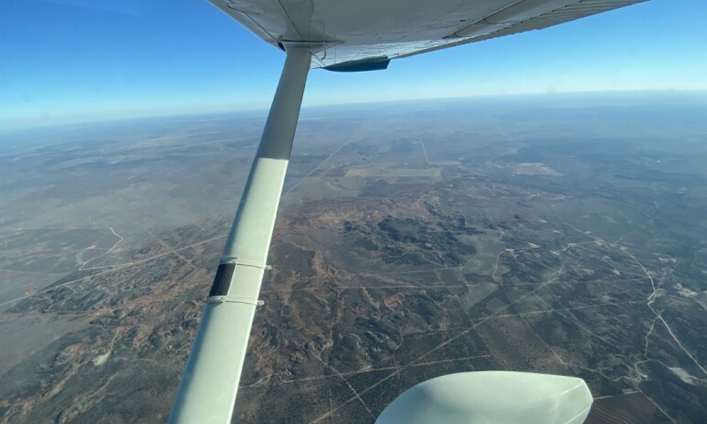
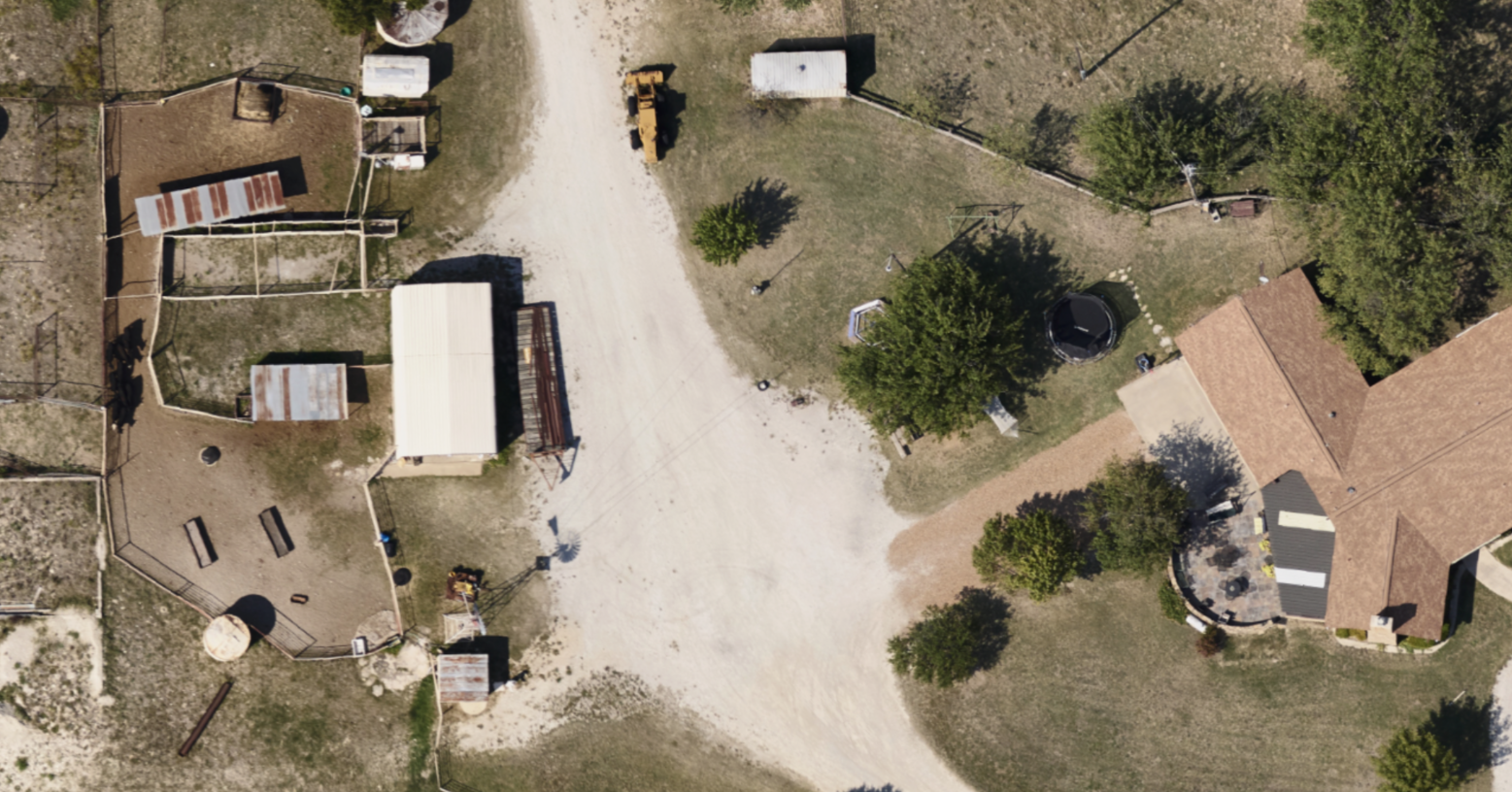
Evaluate multiple route options from your desktop using high-resolution orthoimagery, saving time and resources on field visits.
Minimize Environmental Impact & Expedite Approvals
LiDAR and/or elevation modeling using RGB orthoimagery helps identify and avoid environmentally sensitive areas.
Streamline Negotiations & Landowner Relations
Minimize the need to dispatch ground crews to address route-related concerns.
Design With Confidence Using Precise Geospatial Data
Combination of orthoimagery and elevation data supports detailed engineering decisions.
Optimize Resource Allocation and Minimize Disruption
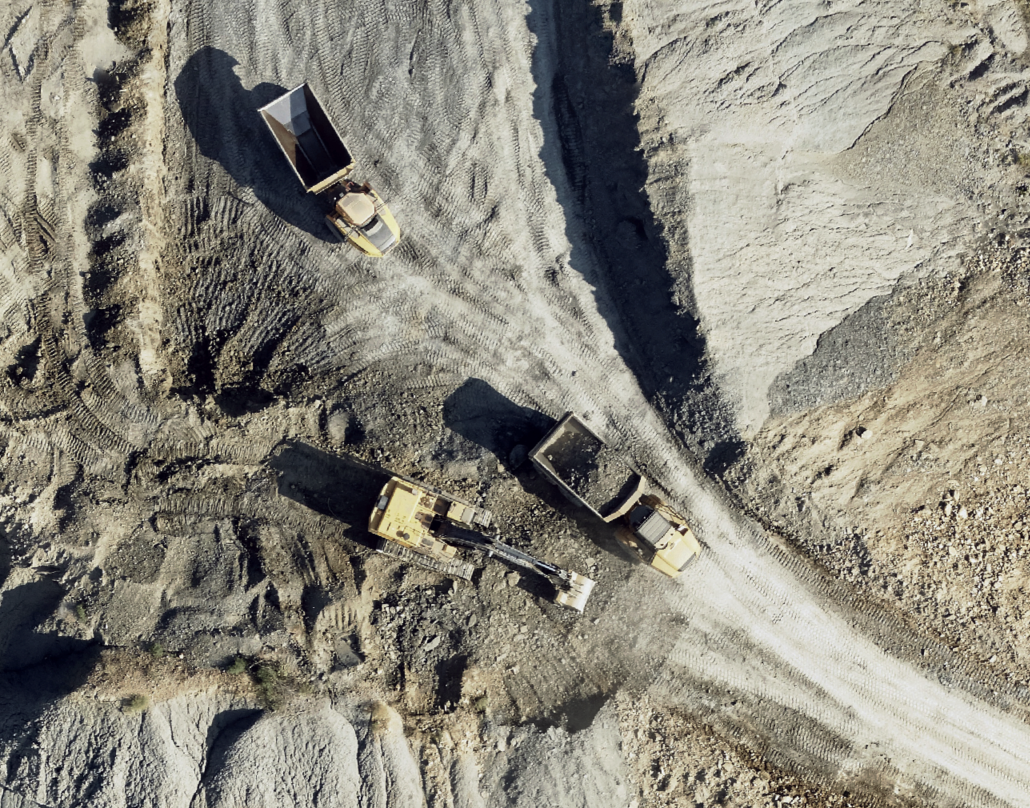
High-resolution imagery aids in planning access roads and laydown areas.
Monitor Progress & Ensure Compliance
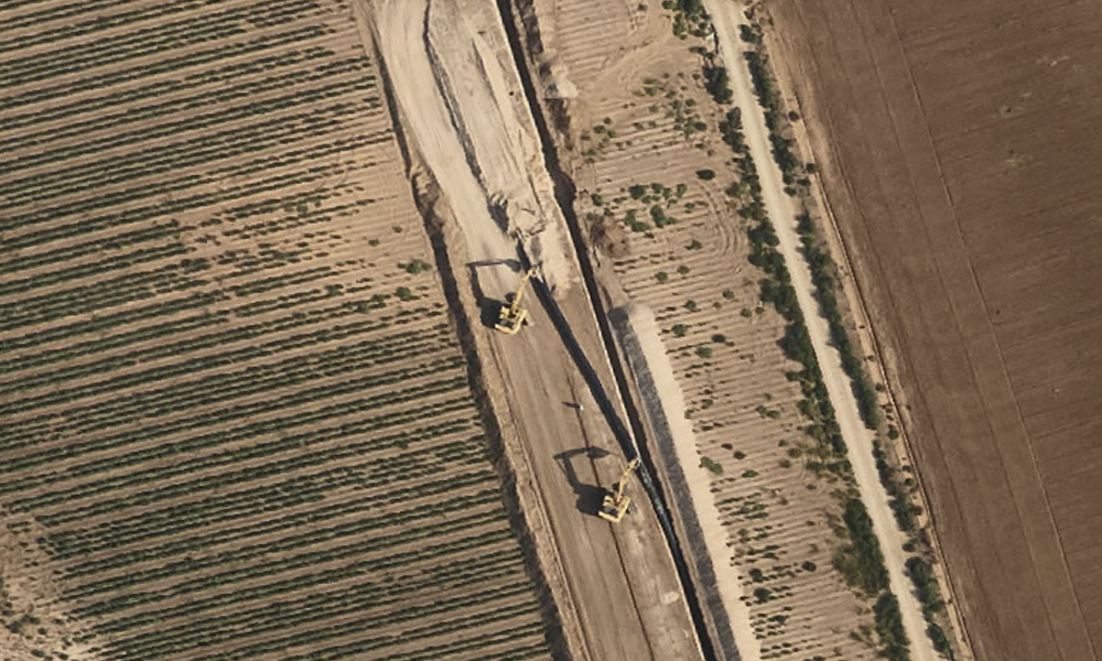
Regular imagery updates allow for precise progress tracking and quality control.
Create Accurate Records for Future Reference
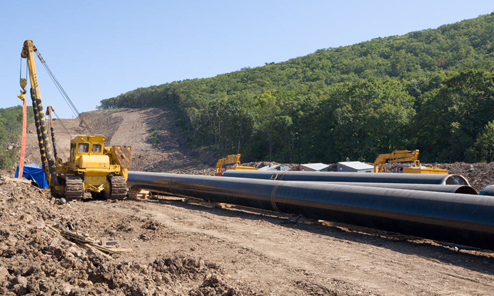
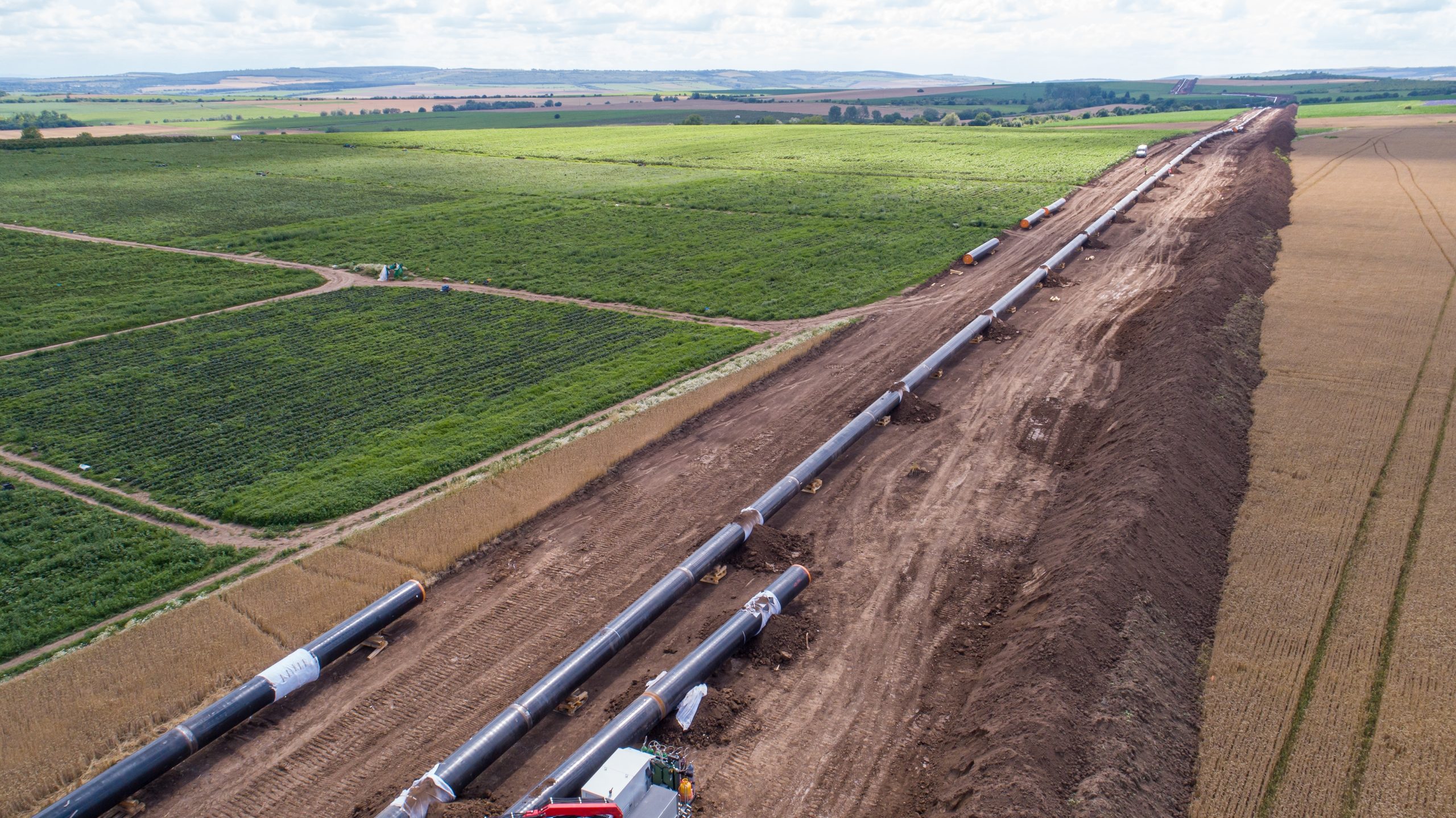
Post-construction imagery captures exact as-built conditions.
Simplify PHMSA Compliance With Streamlined Structure ID
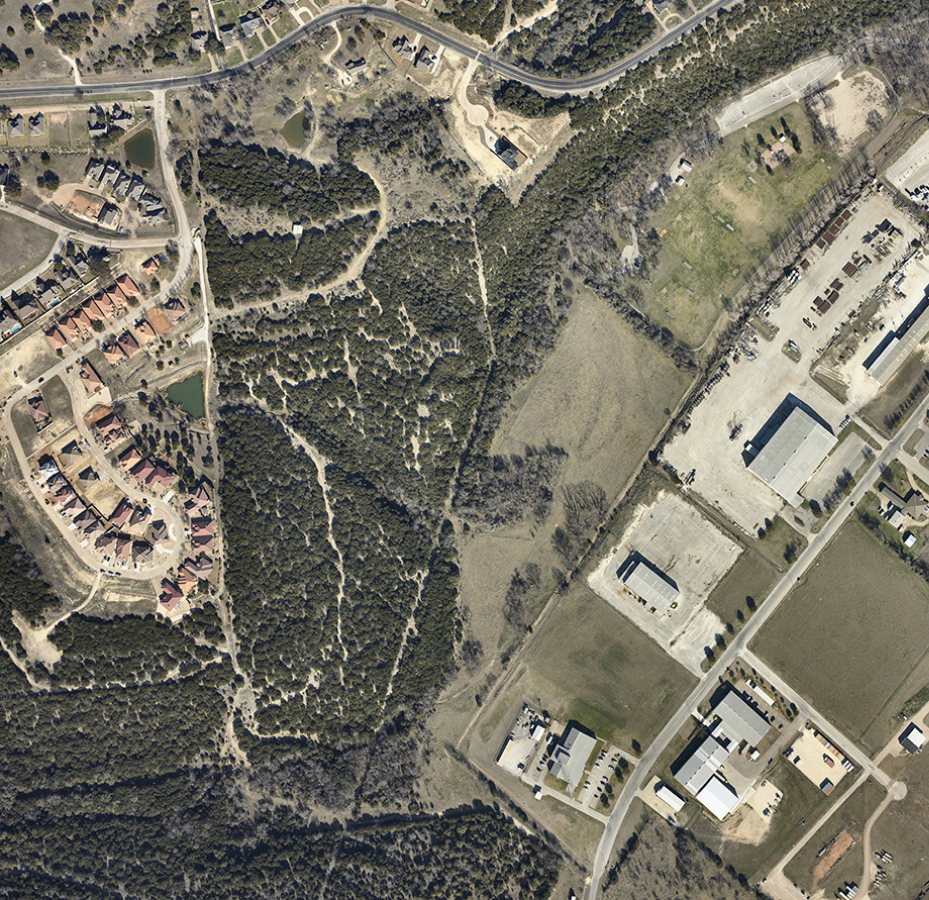
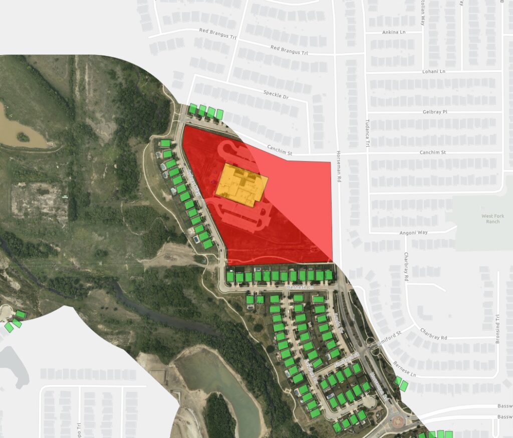
Structure ID by PI detects and categorizes structures for PHMSA reporting.
Proactively Manage Your Pipeline Corridor
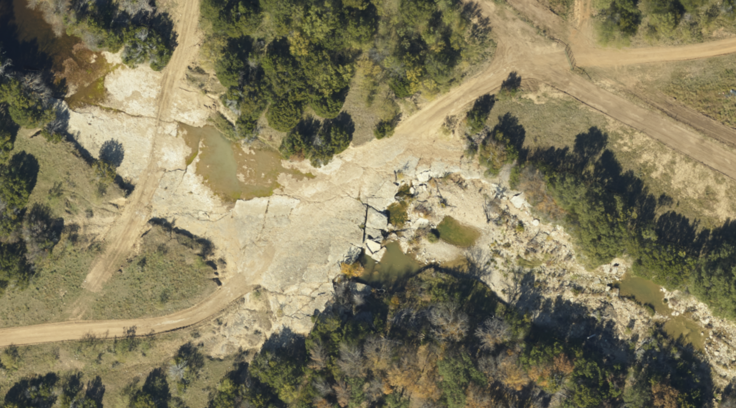
Ongoing Monitoring & Maintenance
Regular imagery updates help plan vegetation management and identify encroachments.


