


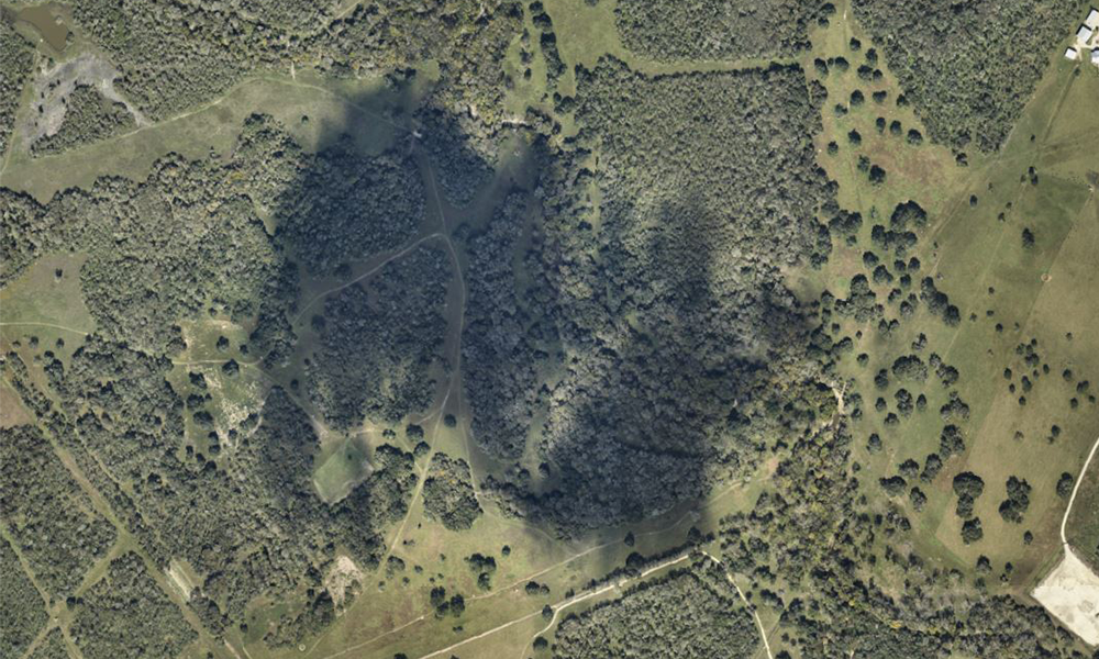
Environmental Impact Assessments: Visualizing Regulatory Concerns & Solutions Pre- & Post- Construction
Environmental Impact Assessments reporting has been revolutionized by using fixed-wing aircraft to capture high-resolution aerial imagery for large-scale industrial construction projects. This innovative approach streamlines both pre-construction EIAs and post-construction[...]

Fiber Network Planning: Why On-Demand Aerial Imagery Outperforms Satellite Imagery
fFiber and broadband deployment is a complex endeavor, demanding precision, foresight, and adaptability. As network planners and engineers strive to connect communities and businesses, the quality of their foundational data[...]
Understanding Cloud Coverage Options in Aerial Imagery: Balancing Aesthetics and Efficiency
At Prius Intelli, we believe in empowering our clients with the knowledge to make informed decisions. When it comes to aerial imagery, cloud cover is a natural part of the[...]
Environmental Impact Assessments: Visualizing Regulatory Concerns & Solutions Pre- & Post- Construction
Environmental Impact Assessments reporting has been revolutionized by using fixed-wing aircraft to capture high-resolution aerial imagery for large-scale industrial construction projects. This innovative approach streamlines both pre-construction EIAs and post-construction[...]
Fiber Network Planning: Why On-Demand Aerial Imagery Outperforms Satellite Imagery
fFiber and broadband deployment is a complex endeavor, demanding precision, foresight, and adaptability. As network planners and engineers strive to connect communities and businesses, the quality of their foundational data[...]
Understanding Cloud Coverage Options in Aerial Imagery: Balancing Aesthetics and Efficiency
At Prius Intelli, we believe in empowering our clients with the knowledge to make informed decisions. When it comes to aerial imagery, cloud cover is a natural part of the[...]
Prius Intelli’s Evolution & Vision for the Future
When Prius Intelli was founded in March 2020, none of us could have predicted the challenges that lay ahead. On the very day we signed our formation documents, our world[...]


