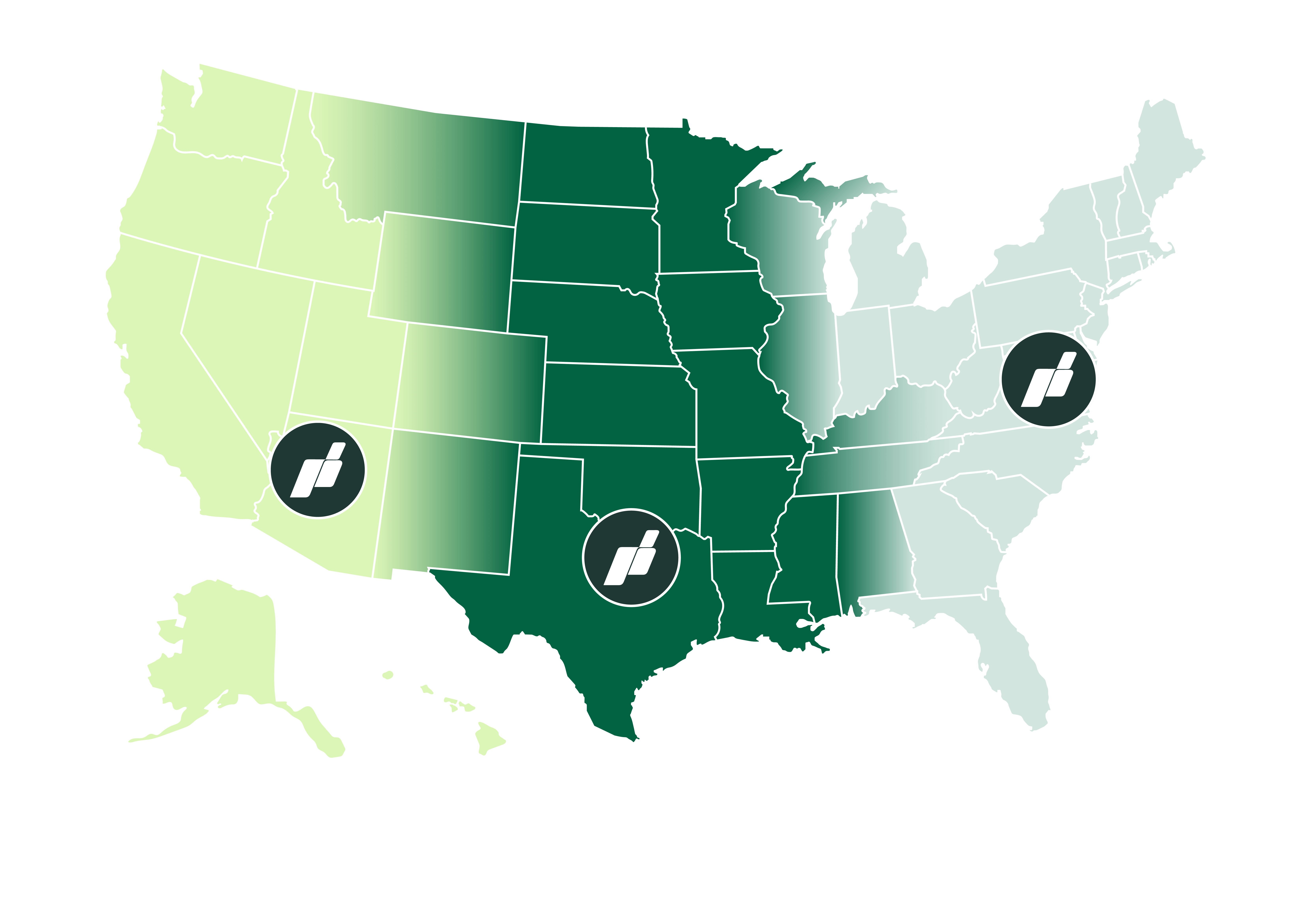
Coast-to-Coast Reach, Rapid Response from Strategic Operations Hubs
With our main flight operations based in Fort Worth and additional operations centers in Virginia and Arizona, we offer comprehensive coverage from coast to coast. This strategic positioning allows us to deploy rapidly and serve clients across the Lower 48 states with unparalleled responsiveness.

Our state-of-the-art fixed-wing aerial technology revolutionizes the mapping process:
- Swift Deployment: Our nimble operations allow us to get in the air quickly, saving you valuable time.
- Reduced Flight Time: Advanced equipment means less time in the air without compromising on data quality.
- Comprehensive Coverage: We capture accurate, high-resolution data for a wide range of applications.


