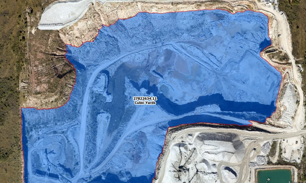
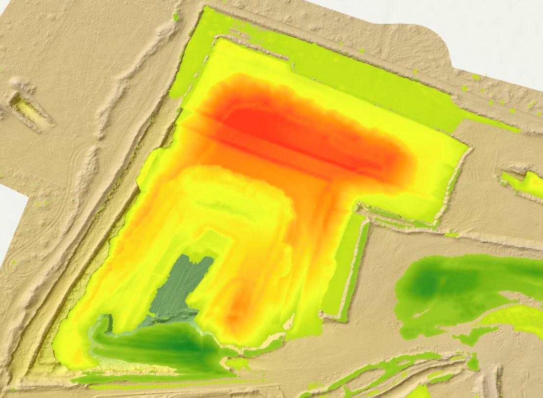
Volumetric analysis using aerial data analytics

ADVANCED AERIAL DATA ANALYTICS

Digitize Your Assets for Better Decision-Making

Complex environments demand more than just a bird’s-eye view. They require data-driven understanding that can evolve as quickly as the terrain itself. At Prius Intelli, we’ve redefined the boundaries of aerial insights, turning the challenge of large-scale data management into an opportunity for unprecedented operational clarity.

EXPERT GIS DATA SOLUTIONS

Transforming Raw Data into Actionable Insights

Maintaining up-to-date data sets for large project areas can be a challenge. With Prius Intelli, you can get a full picture of your worksite, starting with high-resolution aerial imagery data collection from our fixed-wing aircraft. We then transform this raw data through advanced analytics into actionable insights. The result? You receive precise, up-to-the-minute information that empowers informed decision-making across all aspects of your operations.

Our aerial and vector data can be used to:

Create models and AI-ready datasets for data-driven decisions.

Visualize and grasp key structures at a glance.

Make accurate calculations without deploying ground crews.

Implement machine learning to make data analysis easier and scalable.

Aerial Data Services by Prius Intelli
Prius Intelli's aerial data services include data sets and much more.

SPOTLIGHT: Change Detection & Pipeline Safety

Pinpoint Problems From Your Desktop

Discover how pipeline safety managers can monitor vegetation, erosion, and depth of cover concerns – quickly and easily – with change detection.

Prius Intelli's aerial data services include data sets and much more.

Advanced Aerial Data Example Use Cases

Here’s how our advanced aerial data expertise is driving success across key industries:

Energy & Utilities

  • Streamline PHMSA compliance with our turnkey Structure ID solution
  • Enhance pipeline integrity management with AI-driven change detection

Mining & Aggregates

  • Optimize operations with precise volumetric analysis and change detection
  • Support environmental compliance with detailed terrain and vegetation mapping

Telecommunications

  • Perfect your network planning with advanced line of sight and coverage analysis
  • Accelerate 5G rollout with high-precision 3D city models
  • Read More

Urban Planning & Development

  • Drive smart city initiatives with comprehensive urban analytics
  • Enhance disaster preparedness and response with up-to-date geospatial intelligence

WHAT ARE YOU WAITING FOR?

Transform your geospatial strategy today.

Don’t let valuable data go underutilized. Contact us today to learn how our expert GIS
and aerial imagery solutions can drive innovation and efficiency in your operations.

WHAT ARE YOU WAITING FOR?

Transform your geospatial strategy today.

Don’t let valuable data go underutilized. Contact us today to learn how our expert GIS and aerial imagery solutions can drive innovation and efficiency in your operations.

Don’t let valuable data go underutilized. Contact us today to learn how our expert GIS and aerial imagery solutions can drive innovation and efficiency in your operations.