AERIAL SERVICES TRANSFORMED
Your Partner in Rapid, High-Quality GIS Data Solutions
Prius Intelli connects the physical world with the digital realm by leveraging cutting-edge technology to help companies see clearer, move faster, and win bigger.

At Prius Intelli, we understand the challenges you face with outdated aerial intelligence technology.
You’re often caught between two frustrating options:
Option 01
(not so great)Option 01
Enduring lengthy wait times for custom-flown imagery over your specific AOI
Option 02
(also not so great)Option 02
Settling for “high-resolution” satellite imagery that falls short of your expectations
These limitations can hinder your decision-making and slow down your projects. That’s why we’ve made it our mission to revolutionize the aerial services industry, providing you with unparalleled aerial intelligence solutions that meet your needs faster and more effectively than ever before.

PIONEERING INNOVATION IN AERIAL INTELLIGENCE
Here’s how Prius Intelli is shaking up the industry.
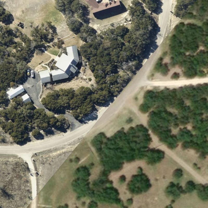
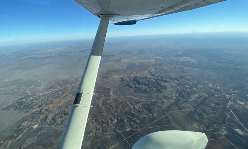
We collect data with fixed-wing aircraft, delivering impactful high-resolution aerial imagery and geospatial data intelligence, quickly, at a price most businesses can afford. Our objective is to ensure the data is instantly accessible and in its most usable format so that our customers can derive the highest value possible – with no GIS expertise required.
Superior Imagery, Faster Delivery
- We produce aerial imagery that’s up to 10 times sharper than high-resolution satellite images
- You get your data within a few short weeks, not months
Fixed-Wing Industrial Focus
- We capture high-quality imagery in locations where satellite and/or drones fall short
- We’ll fly one square mile – or thousands
- Perfect for out-of-the-way operations and infrastructure
Cutting-Edge Technology
- We deliver industry-leading accuracy with zero need for GCPs
- Our Science Team is 100% dedicated to developing remote sensing and location intelligence solutions that help our clients solve real-life problems
Unmatched Customer Support
- Our team offers expert guidance from initial consultation to post-flight delivery to ensure your success every step of the way
See Clearer. Move Faster. Win Bigger.
At Prius Intelli, we help stakeholders clearly see what they need to see – without a trip to the field. Our Aerial Intelligence Solutions help you make confident decisions from afar, freeing your business to move faster and win bigger than competitors in your market.
Accelerate Project Timelines
With Prius Intelli, you can move projects forward without delay, leaving your competitors struggling to keep up.
Optimize Resource Allocation
Our precise insights into your physical assets allow you to allocate resources efficiently, reducing waste and maximizing ROI, giving you a clear advantage in the marketplace.
Proactively Manage Risks
By identifying potential issues before they become costly problems, our high-resolution imagery and advanced analytics help you stay ahead of the curve and avoid setbacks that could hinder your success.
Whether it’s for oil and gas exploration and development, pipeline management and compliance, urban planning, or environmental analysis, Prius Intelli’s aerial imagery solutions offer unparalleled precision and efficiency. Our continuous innovation around sensors, software, and industry-specific solutions consistently delivers the answers our customers need to overcome their biggest challenges. Moreover, we believe our commitment to customer satisfaction, reliability, and approach to data-driven decision-making solidifies our position as a frontrunner among aerial imagery companies.
WHAT ARE YOU WAITING FOR?
See the future from above – and trust what you see.
Headquartered in Fort Worth, Texas, Prius Intelli serves clients throughout the Lower 48.
We invite you to experience the difference that truly innovative aerial intelligence can make for
your projects. Ready to transform your aerial data experience? Contact us today.
WHAT ARE YOU WAITING FOR?
Transform your geospatial strategy today.
Don’t let valuable data go underutilized. Contact us today to learn how our expert GIS and aerial imagery solutions can drive innovation and efficiency in your operations.
Don’t let valuable data go underutilized. Contact us today to learn how our expert GIS and aerial imagery solutions can drive innovation and efficiency in your operations.


