
GIS DATA MODELING FOR BROADBAND & FIBER
Accelerate Network Deployment with Precision Geospatial Solutions
Prius Intelli streamlines route planning, pre-installation, and construction management. Our expert GIS data modeling solutions enhance decision-making and boost project efficiency, providing sharper data for precise, confident results.
Aerial Imagery & Advanced GIS Data Models
Explore how our on-demand, high-resolution RGB orthoimagery, DEMs, DSMs, LiDAR data, and planimetric mapping can transform your approach to network deployment and management.
High-Resolution RGB Orthoimagery
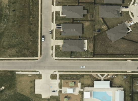
Plan network expansion with crystal-clear, up-to-date aerial imagery flown on-demand.
Track land use changes and development patterns to forecast future network needs.
Digital Elevation Models (DEMs)
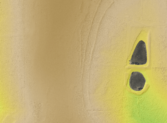
Optimize fiber routes with precise terrain elevation data.
Plan cost-effective microtrenching routes with centimeter-level elevation data.
Digital Surface Models (DSMs)
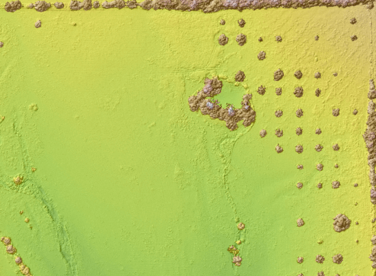
Assess above-ground obstacles for aerial fiber deployment.
Identify potential cable strike risks from tree growth along aerial fiber routes.
LiDAR Mapping & Point Clouds
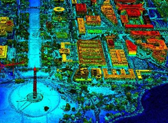
Conduct detailed pole and attachment point analysis for efficient deployments.
Assess pole capacity for additional fiber optic cables using precise LiDAR measurements.
Planimetric Mapping of Existing Infrastructure
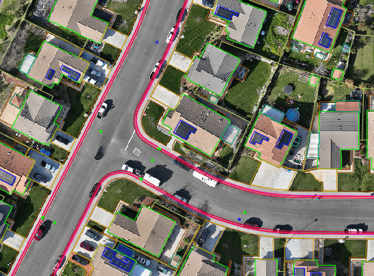
Identify precise locations of existing infrastructure for accurate network planning.
Streamline right-of-way acquisition with accurate property boundary and infrastructure mapping.
WHAT ARE YOU WAITING FOR?
Transform your geospatial strategy today.
Don’t let valuable data go underutilized. Contact us today to learn how our expert GIS data modeling
and aerial imagery solutions can drive innovation and efficiency in your operations.
WHAT ARE YOU WAITING FOR?
Transform your geospatial strategy today.
Don’t let valuable data go underutilized. Contact us today to learn how our expert GIS and aerial imagery solutions can drive innovation and efficiency in your operations.
Don’t let valuable data go underutilized. Contact us today to learn how our expert GIS and aerial imagery solutions can drive innovation and efficiency in your operations.


