DIGITAL ELEVATION AND SURFACE MODELS
Transform Your Aerial Imagery into Elevation-Rich Intelligence
Harness the full potential of your Everyday Imagery investment with Prius Intelli’s advanced elevation modeling services.
Unlock Terrain Insights
Shed Light on Project Challenges
Our elevation modeling services add a crucial dimension to your orthoimagery, providing valuable insights for a wide range of applications:
Site
Selection
Identify optimal locations based on terrain characteristics.
Land
Development
Plan with confidence using accurate topographical data.
Well Site
Mapping
Optimize placement and operations in energy projects.
Environmental Initiatives
Assess impact and plan conservation efforts.
Route
Planning
Design efficient and safe transportation corridors.
Analyze Every Detail
Digital Elevation and Surface Modeling Options
Don’t just see your project area – understand its every contour and feature.
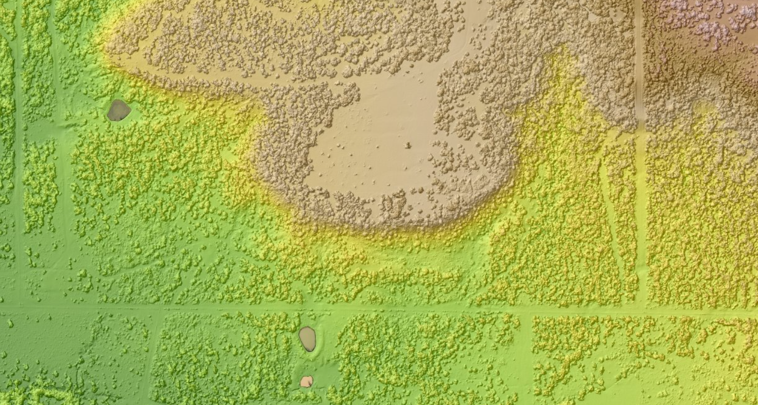
Digital Surface Model (DSM)
- A Digital Surface Model (DSM) is an elevation model that captures both the natural and artificial features of an area.
- Important for understanding all of the elevations and features on and above the ground.
- It includes the ground and everything above the ground, inducing the tops of buildings, trees, and any other objects.
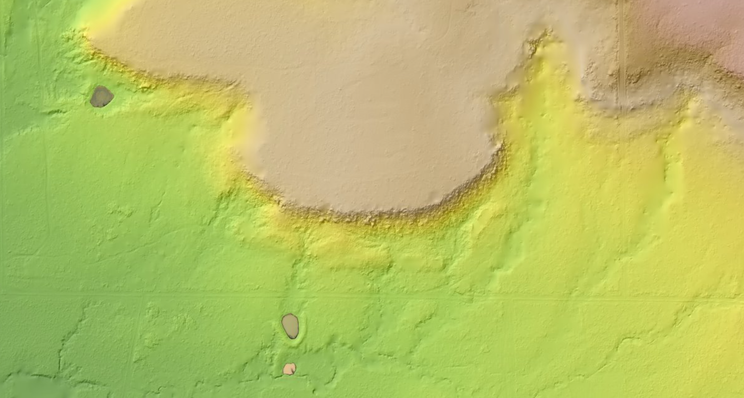
Digital Elevation Model (DEM)
- A Digital Elevation Model shows the ground surface of an area.
- The DEM is the building block for the other elevation datasets and is important in understanding the terrain without the clutter of trees and above-ground objects.
- All above-ground objects like trees and buildings are removed.
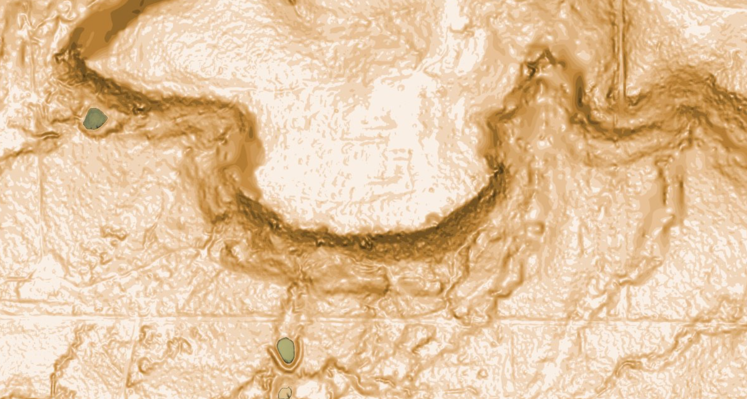
Slope Models
- Slope models are shaded representations of ground slope. Darker areas denoting steeper slopes. Lighter areas define flatter slopes.
- High contrast slope models can help identify problem areas that are not easily identifiable in other maps or data layers.
- Useful in site suitability, site selection, and construction planning.
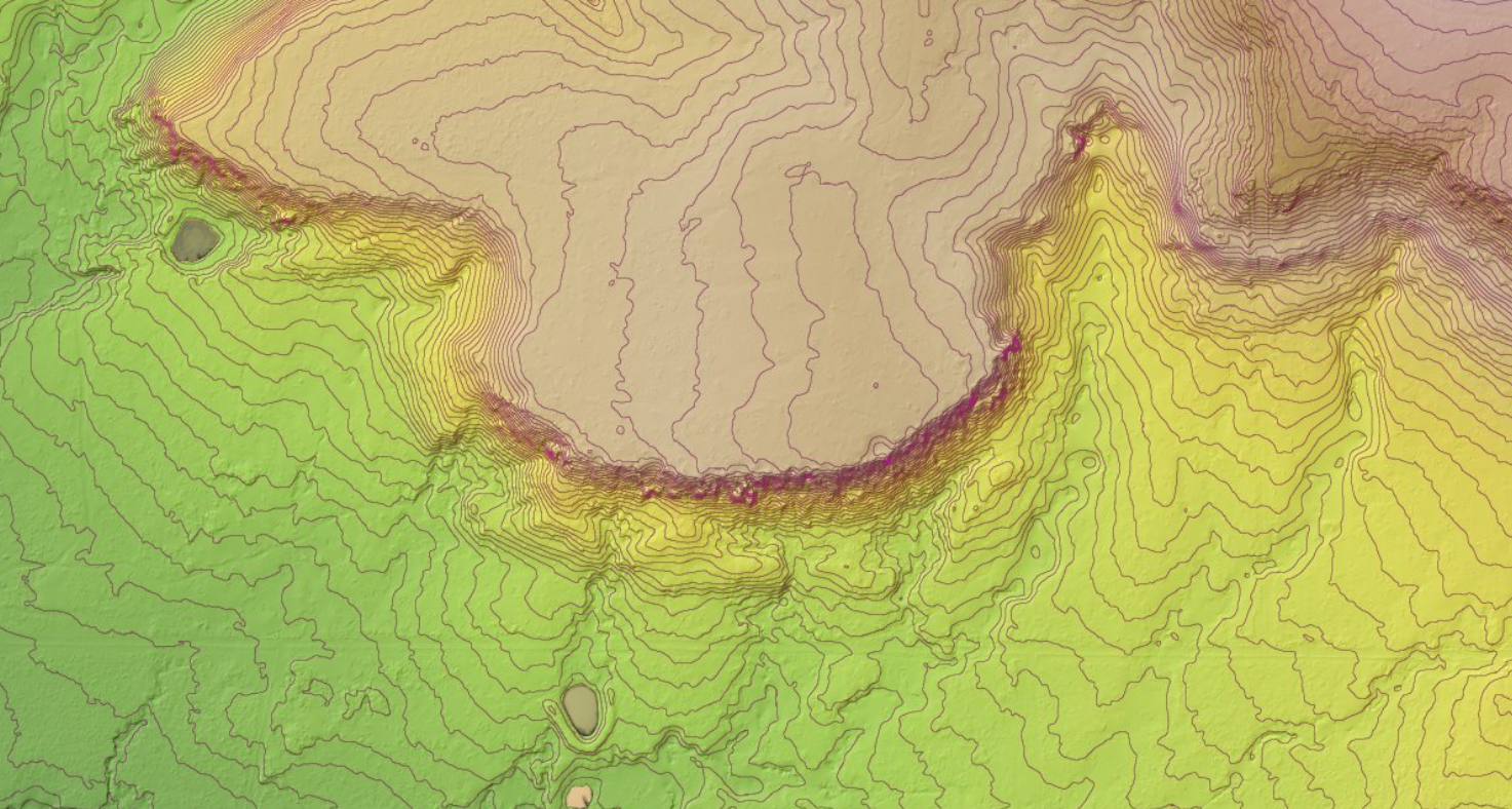
Contours
- Contours show how points of the same elevation across an area.
- Contour lines can be shown at the interval of your choosing.
- Contours are essential for understanding how, where, and how quickly elevation changes.
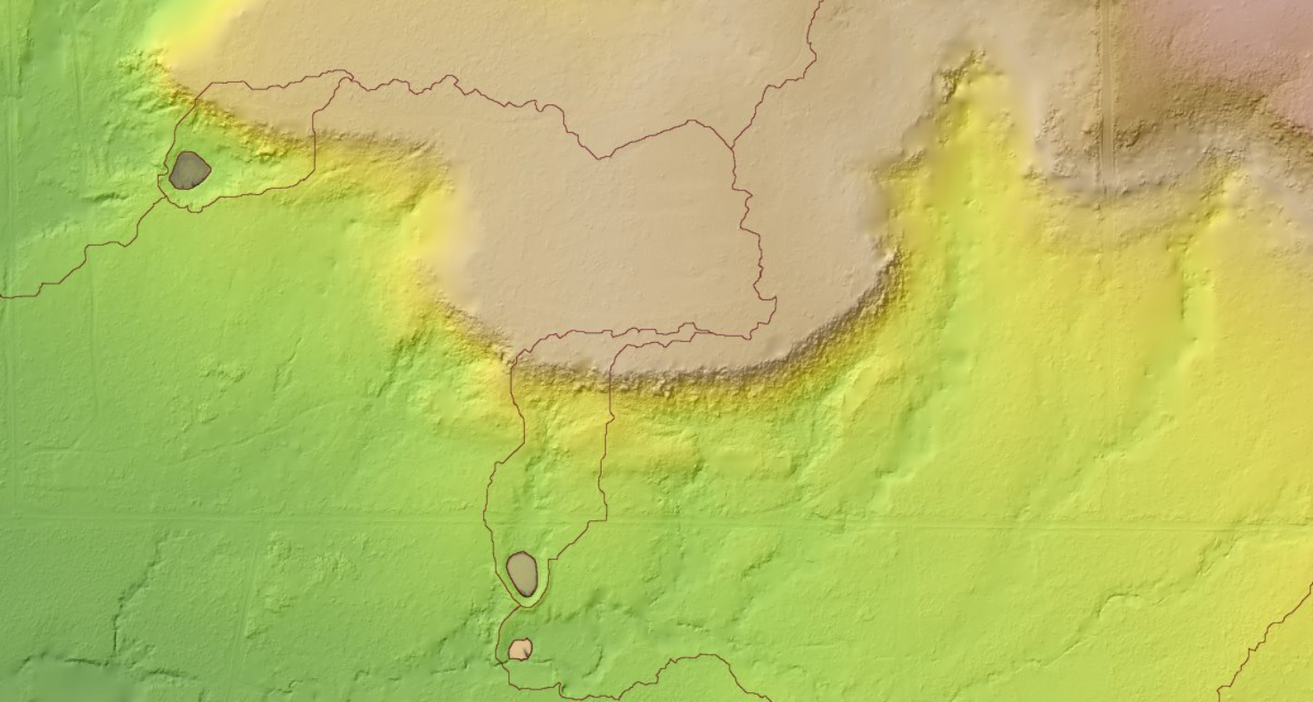
Drainage Basins
- Drainage basins show the natural divides or barriers within an area, outlining the entire catchments for the stream networks.
- Can be used alongside stream networks for hydrological planning to show an entire drainage basin for a given stream channel, pond, or lake.
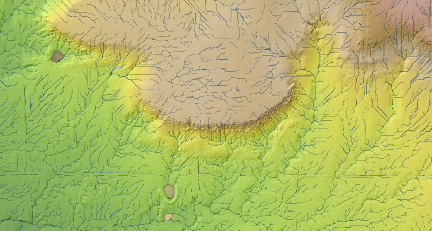
Stream Networks
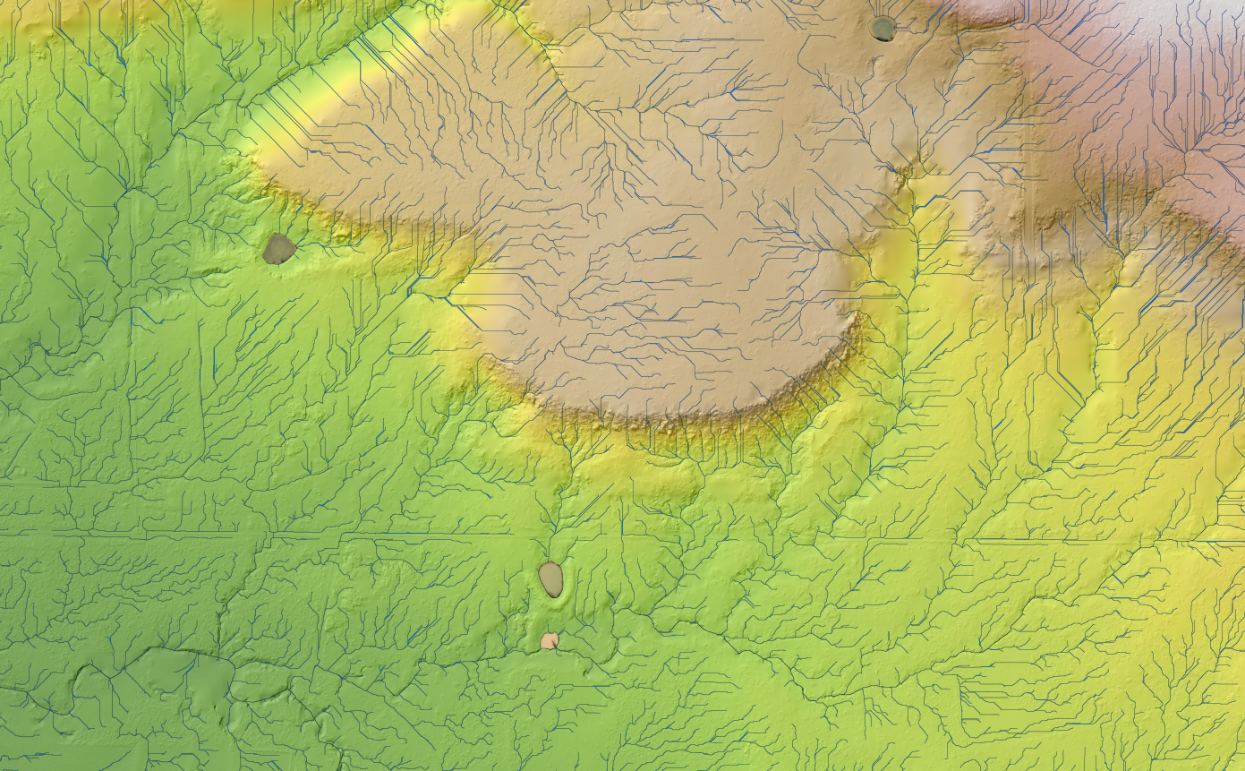
- Stream networks show how runoff behaves across an area.
- Can be used for understanding where runoff goes and where it does not during rain events or in spill situations.
- Also, can be used for planning detention/retention ponds, terraces, levees, or dams.
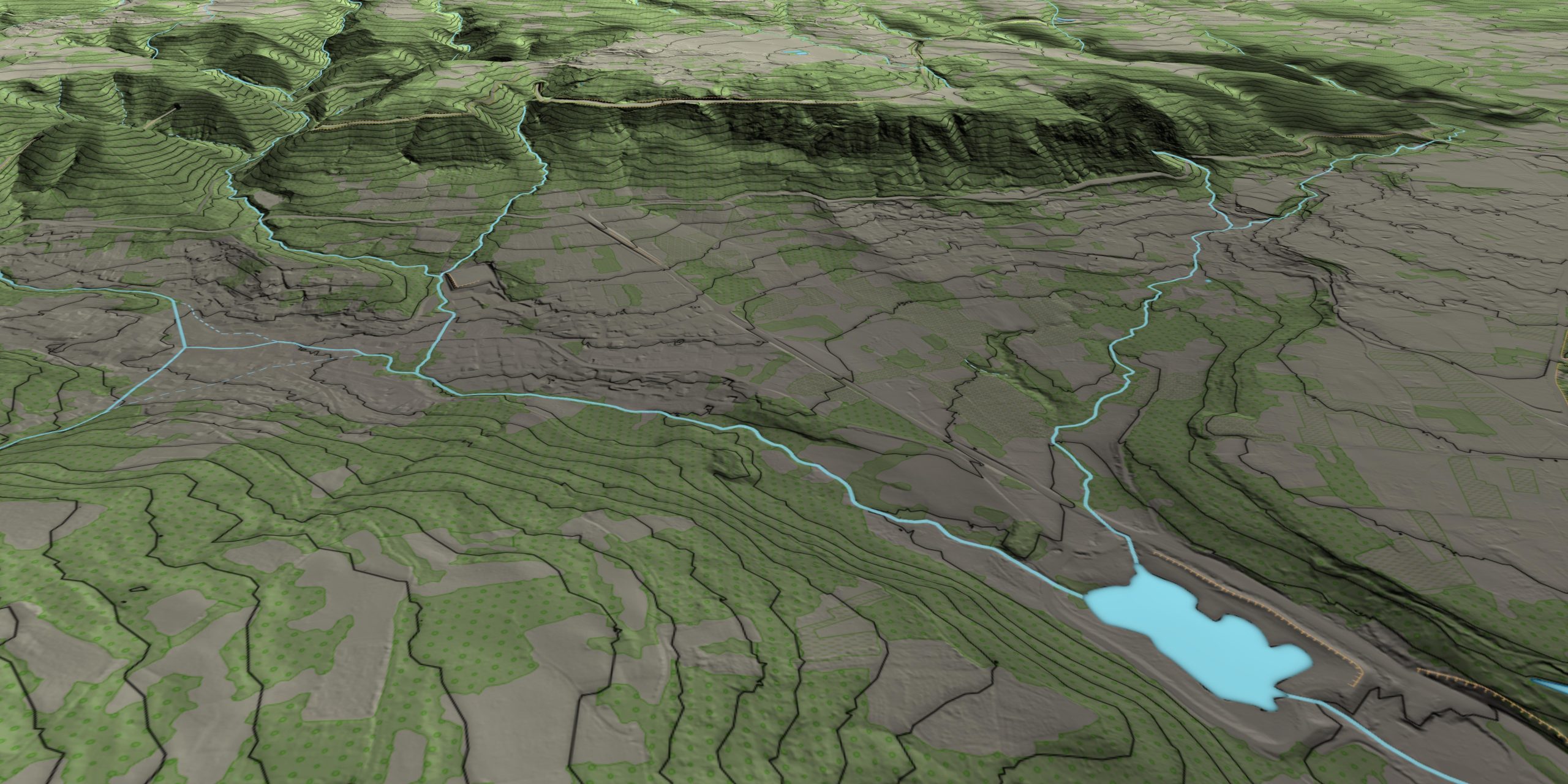
UNLEASH PRECISION WITH PI® ELEVATION MODELING
Why Choose PI® Elevation Modeling?
Seamless Integration
- Derived directly from your Everyday Imagery, ensuring perfect alignment and consistency
Unmatched Detail
- Leverage the power of 5cm+ resolution for incredibly precise elevation data
Versatility
- Applicable across industries – from construction to environmental conservation
Cost Effective
- Maximize the value of your imagery investment with multi-purpose data
Expert Support
- Our team of geospatial experts is ready to help you extract maximum value from your elevation models
WHAT ARE YOU WAITING FOR?
Transform your geospatial strategy today.
Don’t let valuable data go underutilized. Contact us today to learn how our expert GIS
and aerial imagery solutions can drive innovation and efficiency in your operations.
WHAT ARE YOU WAITING FOR?
Transform your geospatial strategy today.
Don’t let valuable data go underutilized. Contact us today to learn how our expert GIS and aerial imagery solutions can drive innovation and efficiency in your operations.
Don’t let valuable data go underutilized. Contact us today to learn how our expert GIS and aerial imagery solutions can drive innovation and efficiency in your operations.


